October 9th to 16th
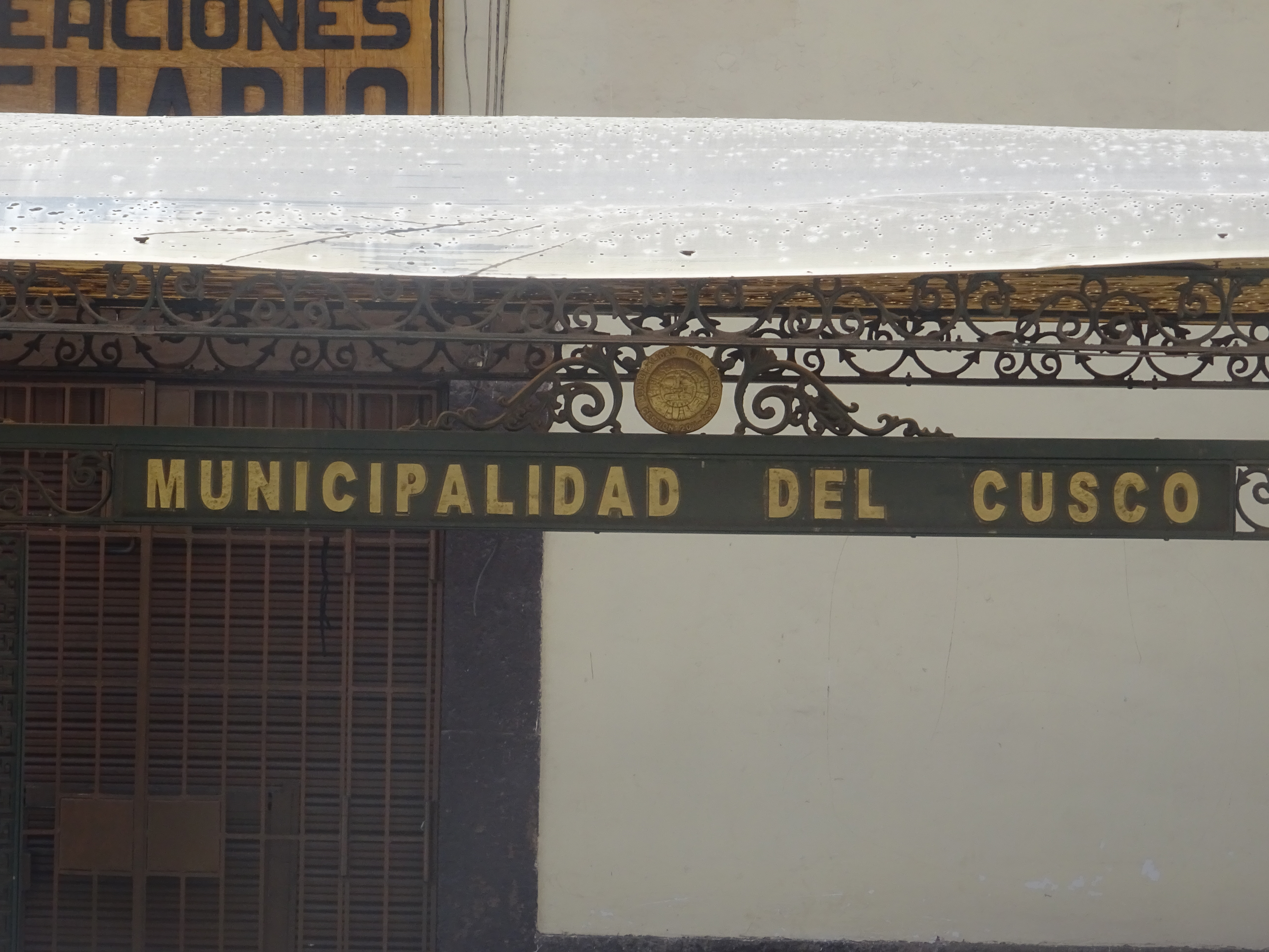
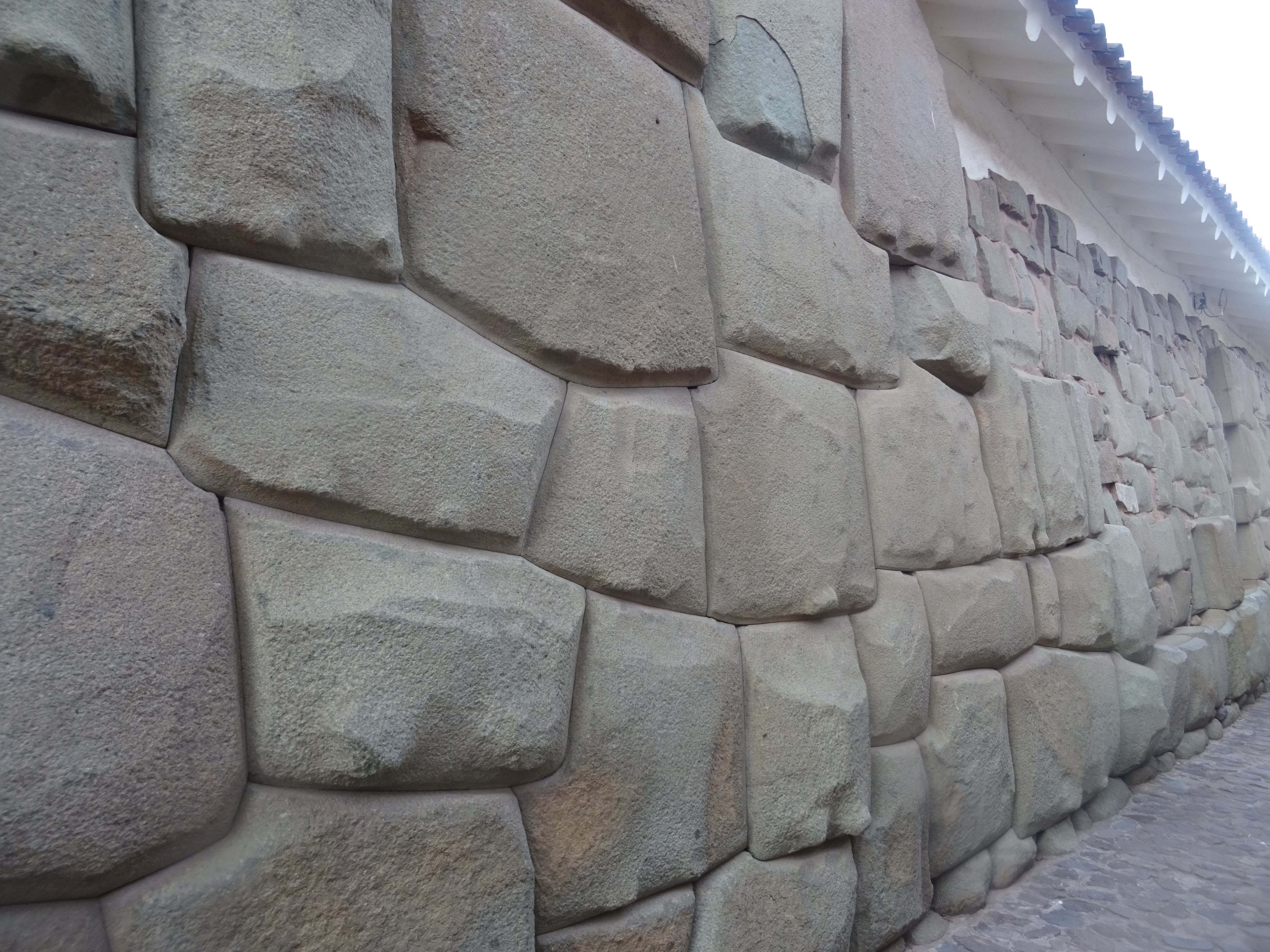
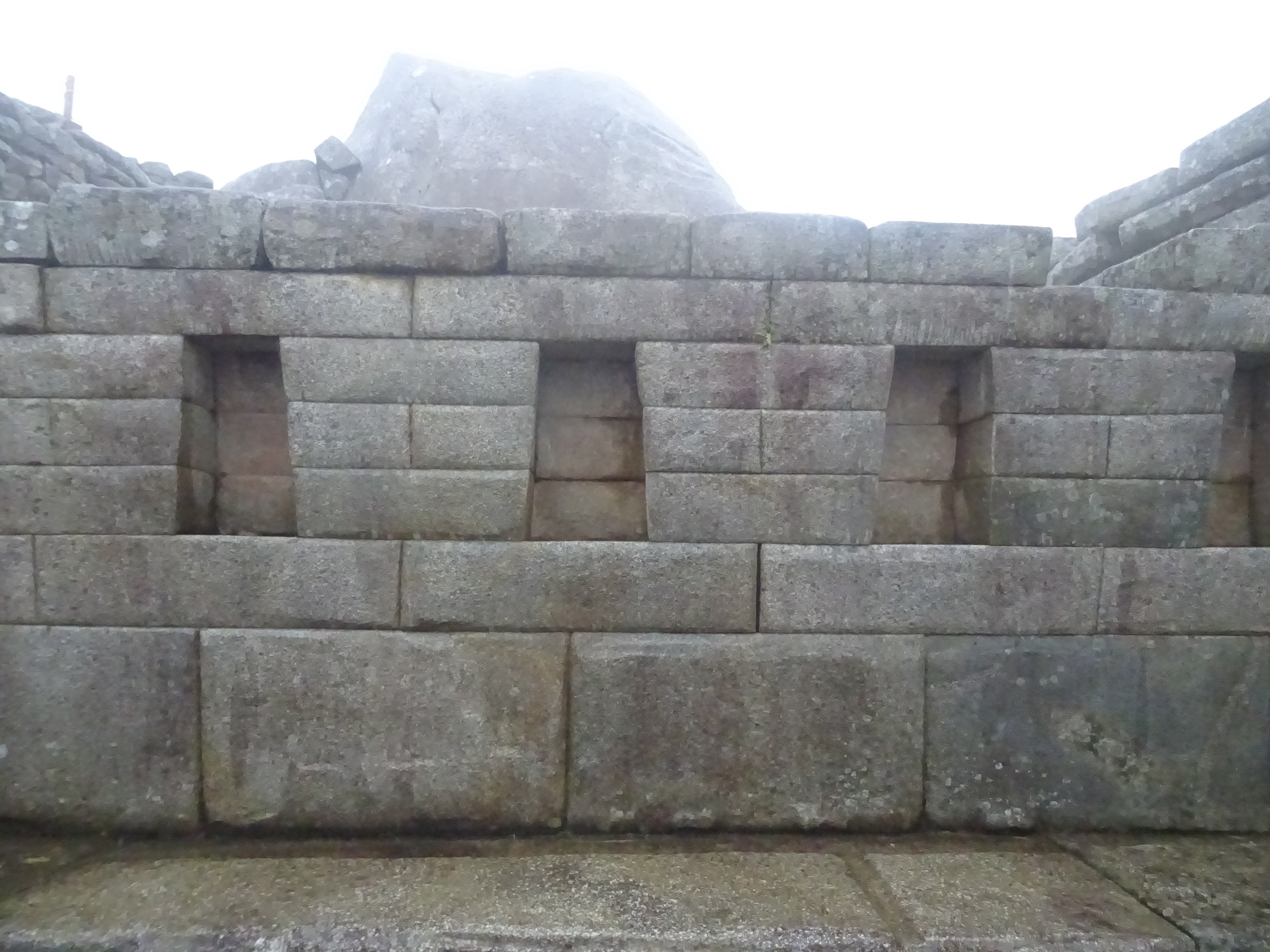
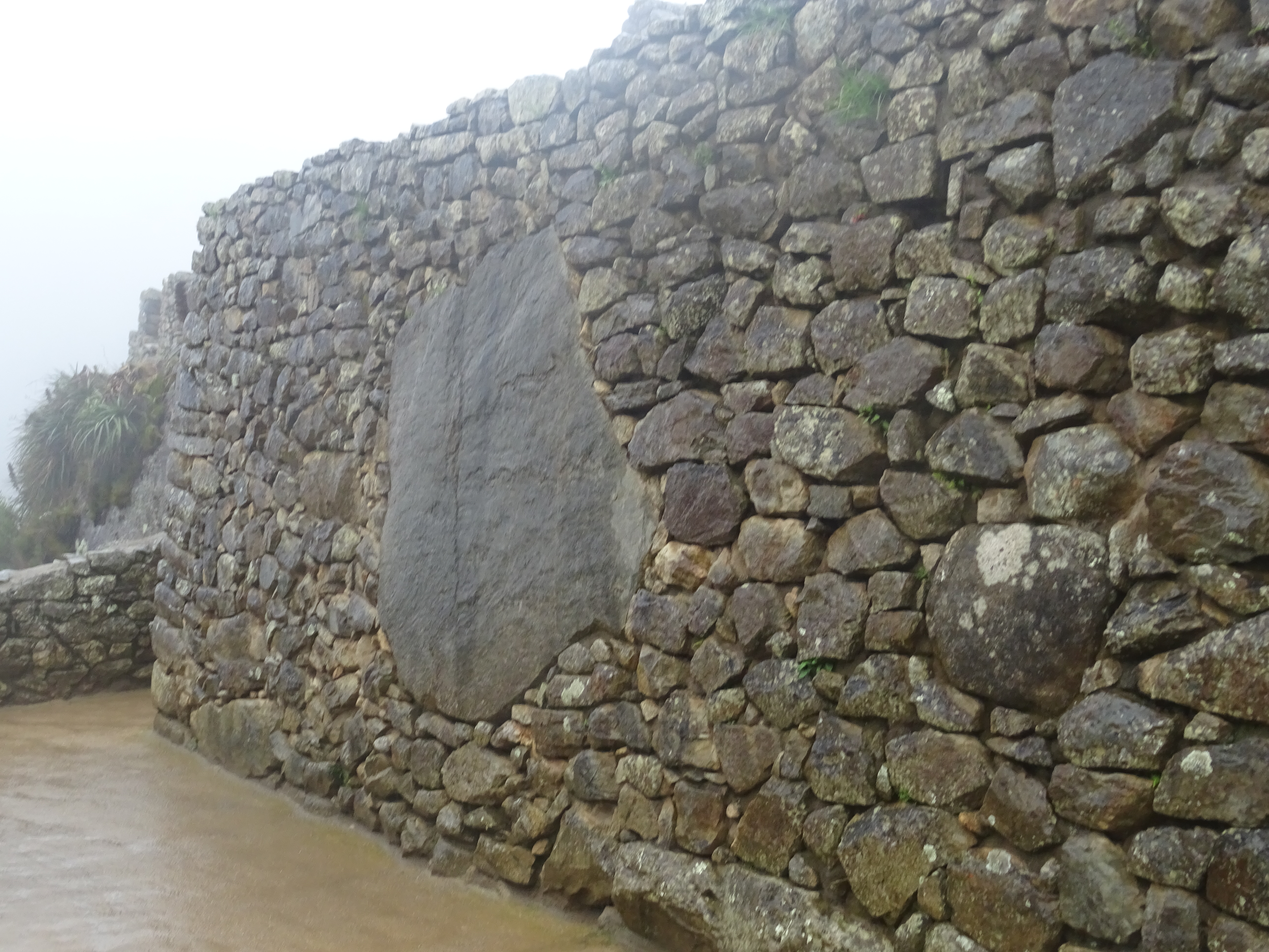
With Yaakov, the guy I met in the Colca canyon, we arrived in Cusco on monday the 9th, and visited the city, which use to be the capital of the Incas. A lot of walls in the city were built by the Incas, and the way they put together the cut stones is impressive. Cusco is a mandatory stop to go to Machu Picchu, the most visited place of South America, so it’s a very touristic town and there are a lot of solicitations from tourist agencies, restaurants, massage parlors, etc.
Apparently it’s not Cusco but “The Cusco”
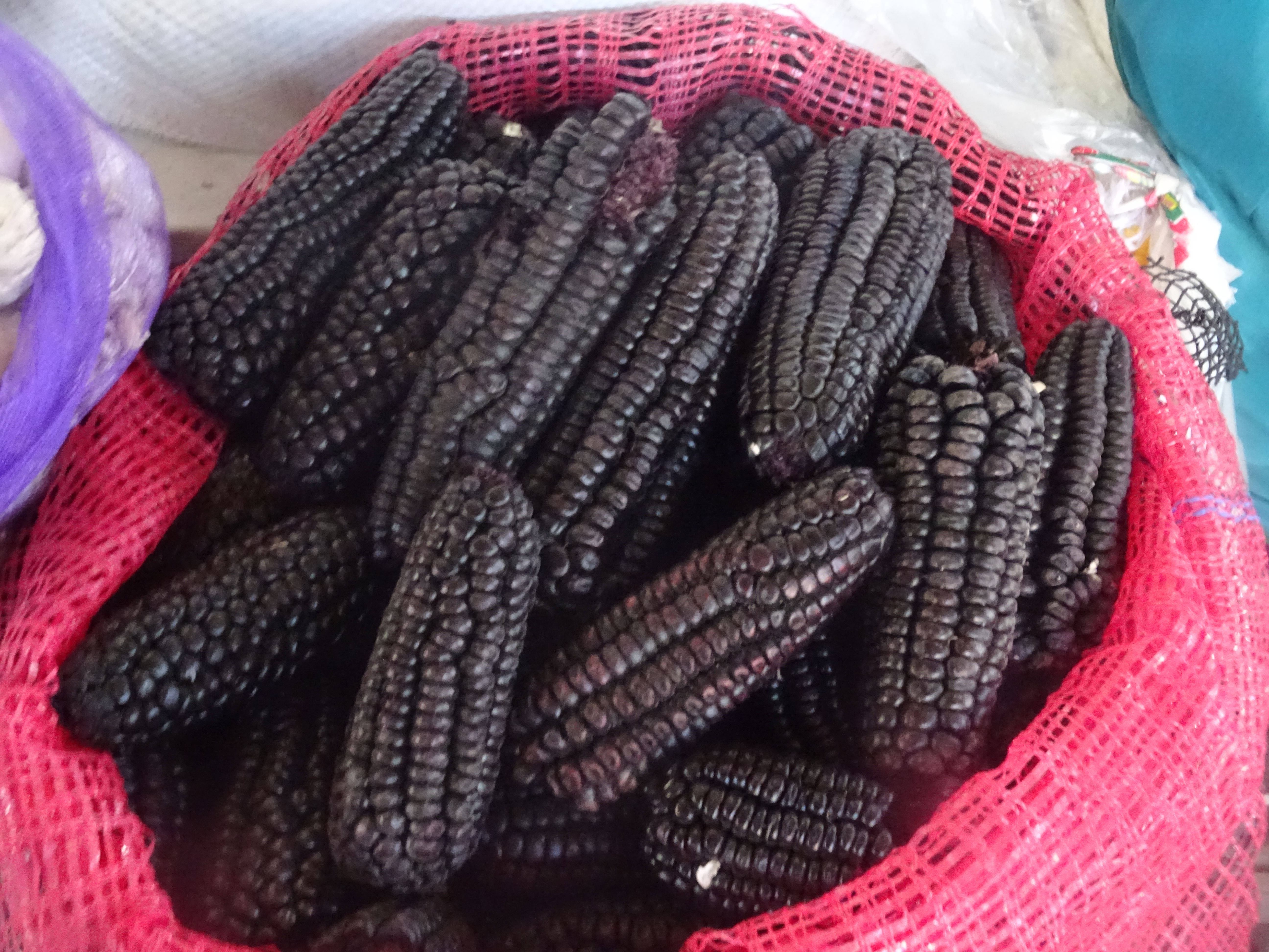
Cusco – Market
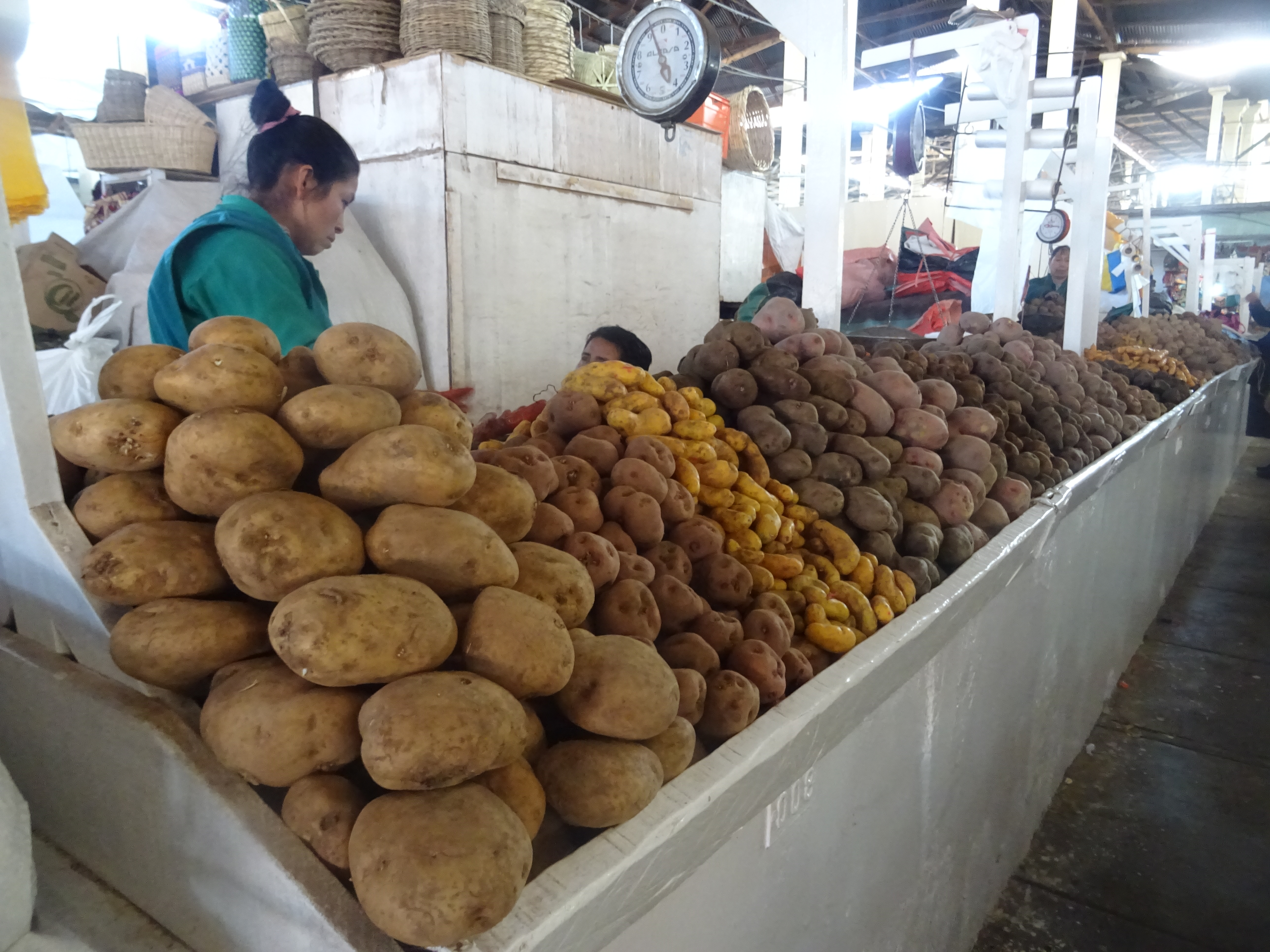
Cusco – Market
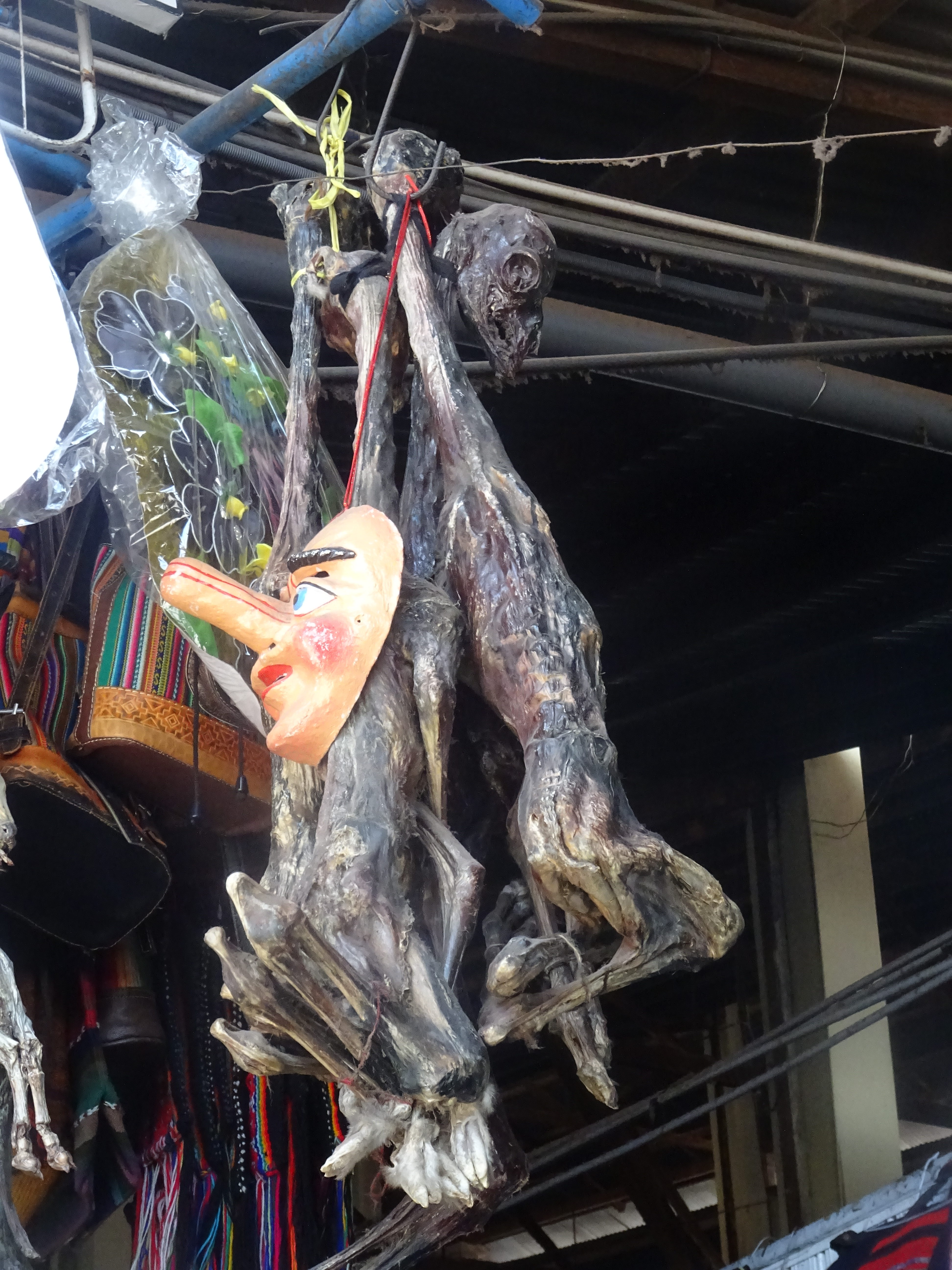
Cusco – Market. Llama foetuses, for offerings to Pachamama, Mother Earth
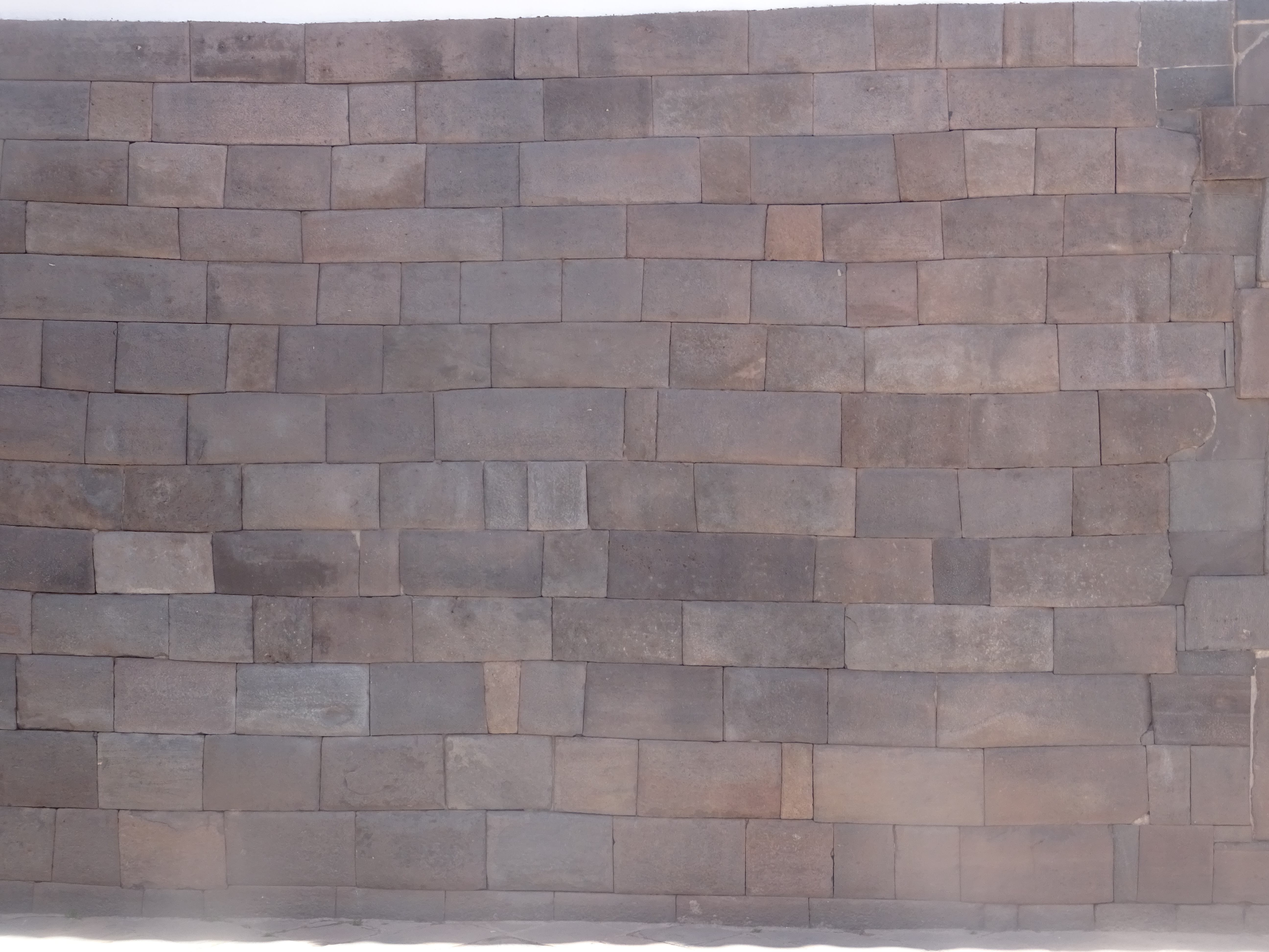
Cusco – Inca wall

Cusco – Cathedral
Cusco – Inca wall
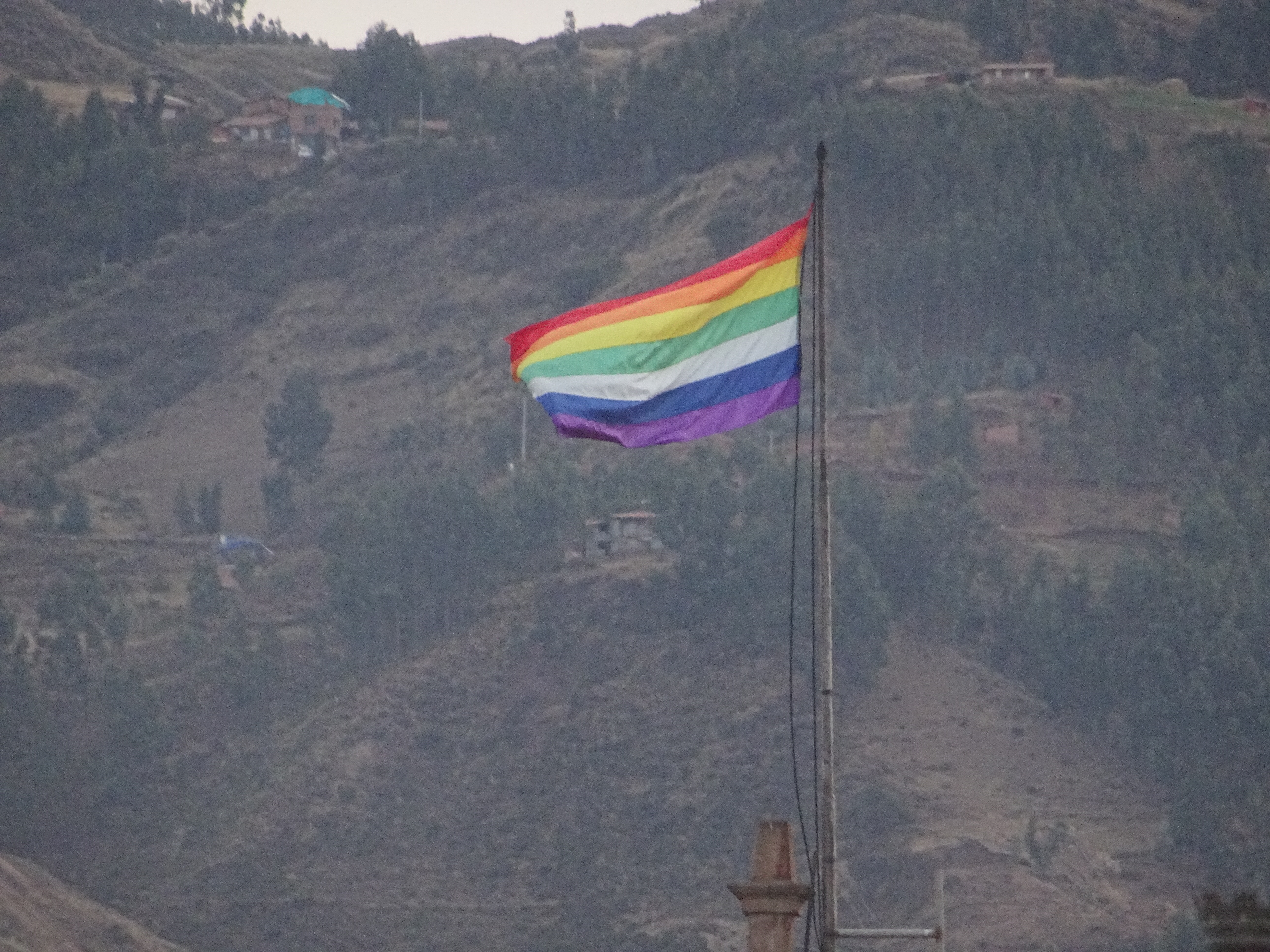
Cusco – Rainbow flag (Inca symbol)
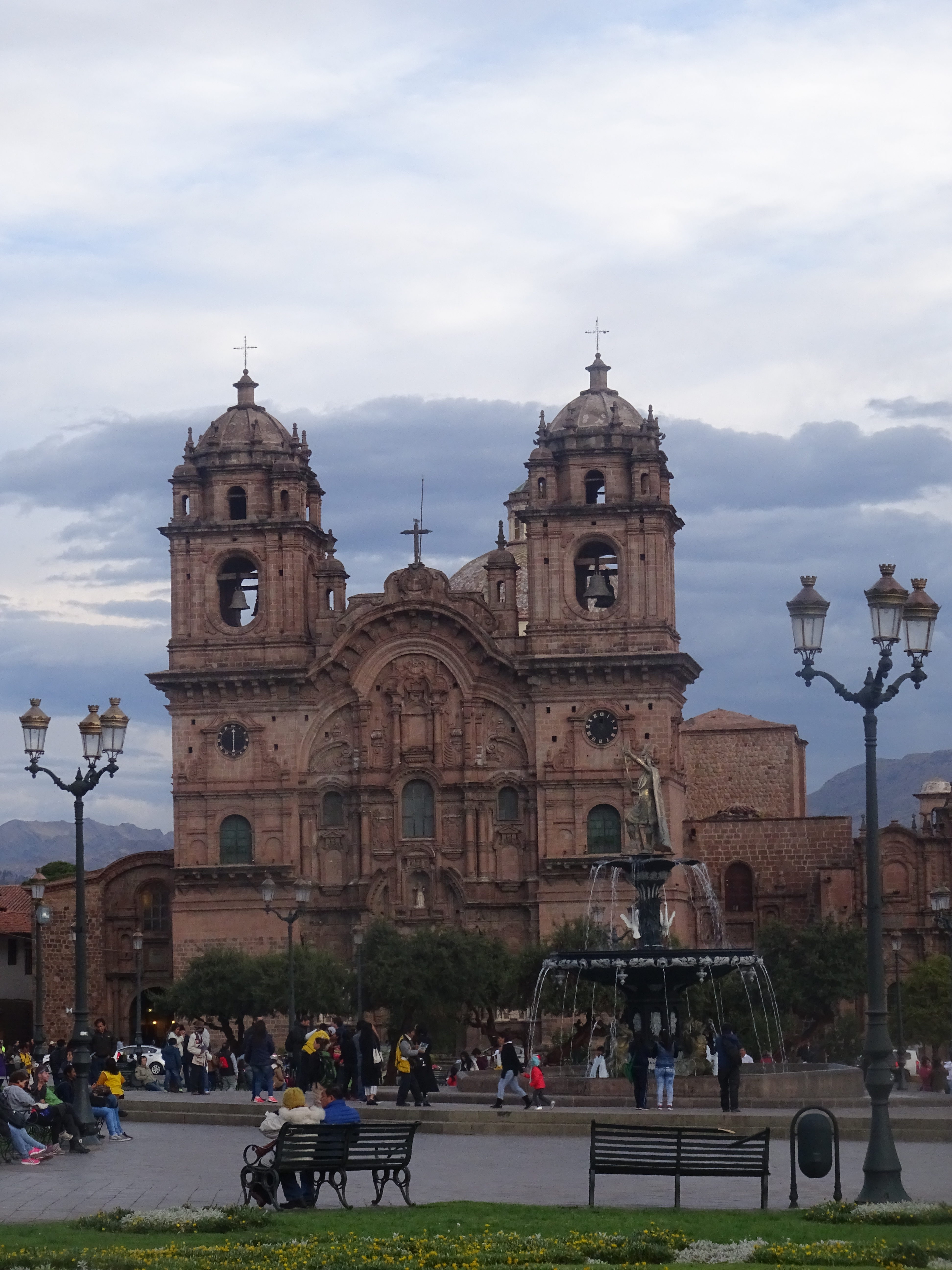
Cusco – Cathedral
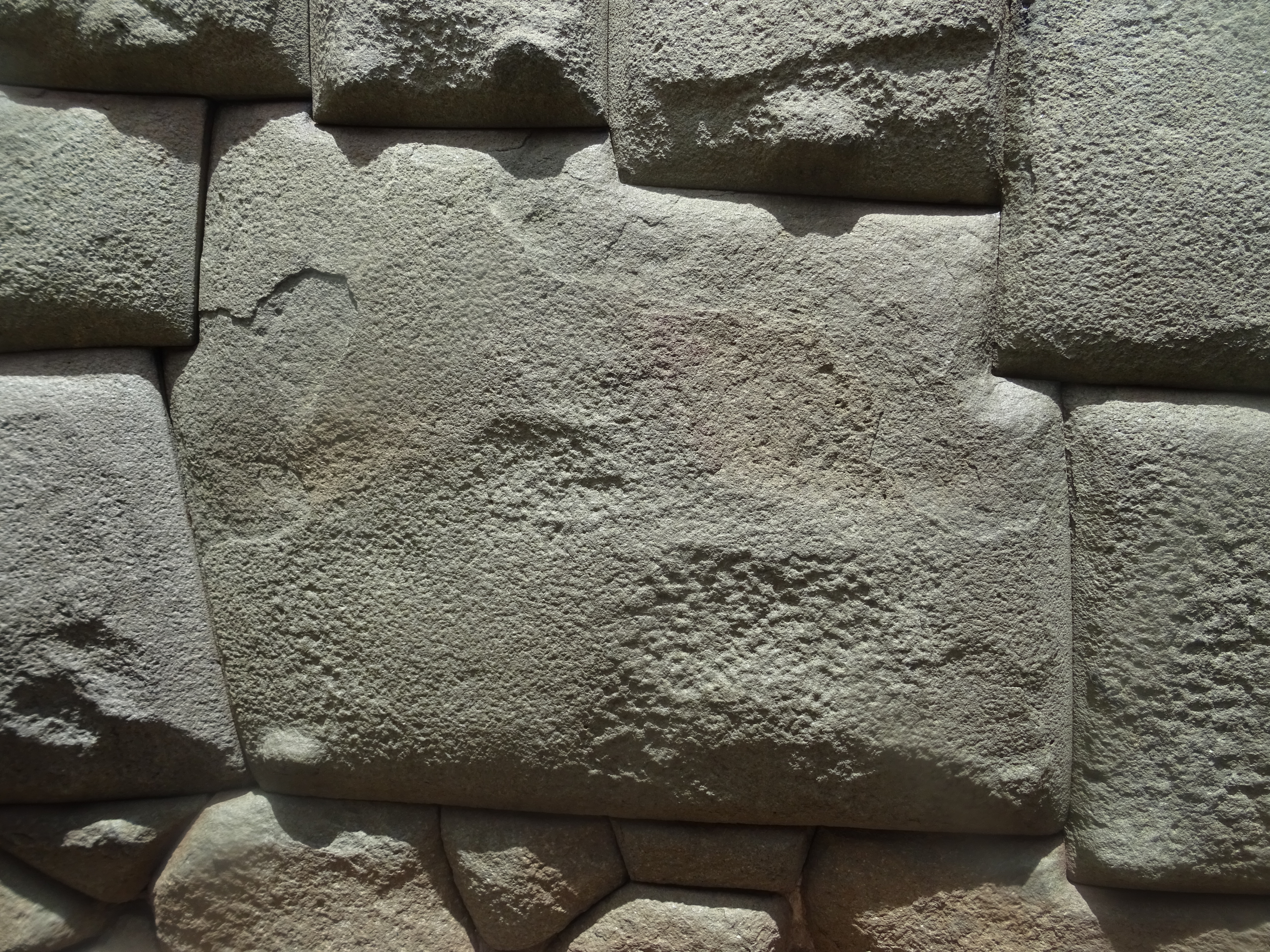
Cusco – Inca wall. This stone has 12 sides
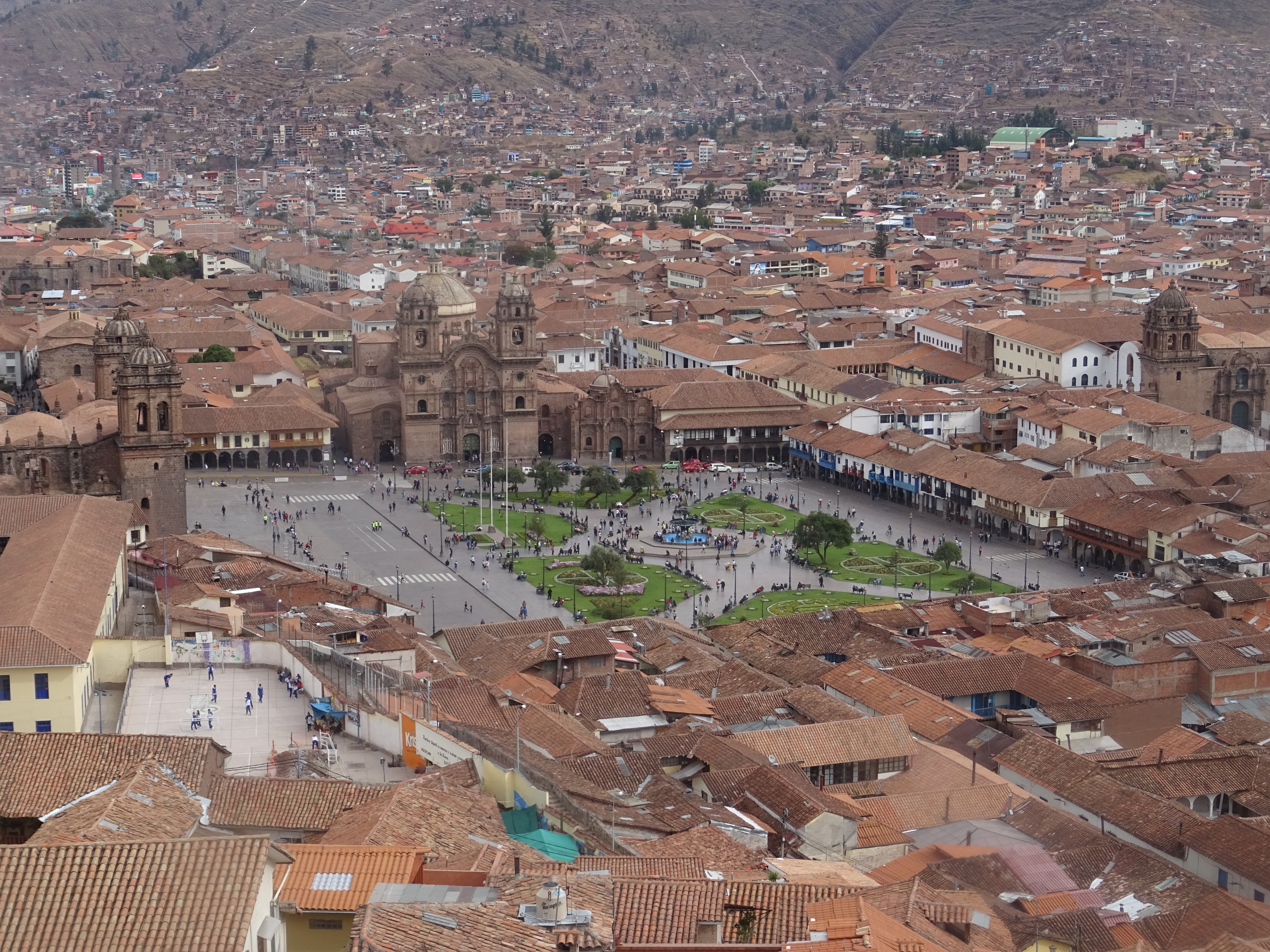
Cusco
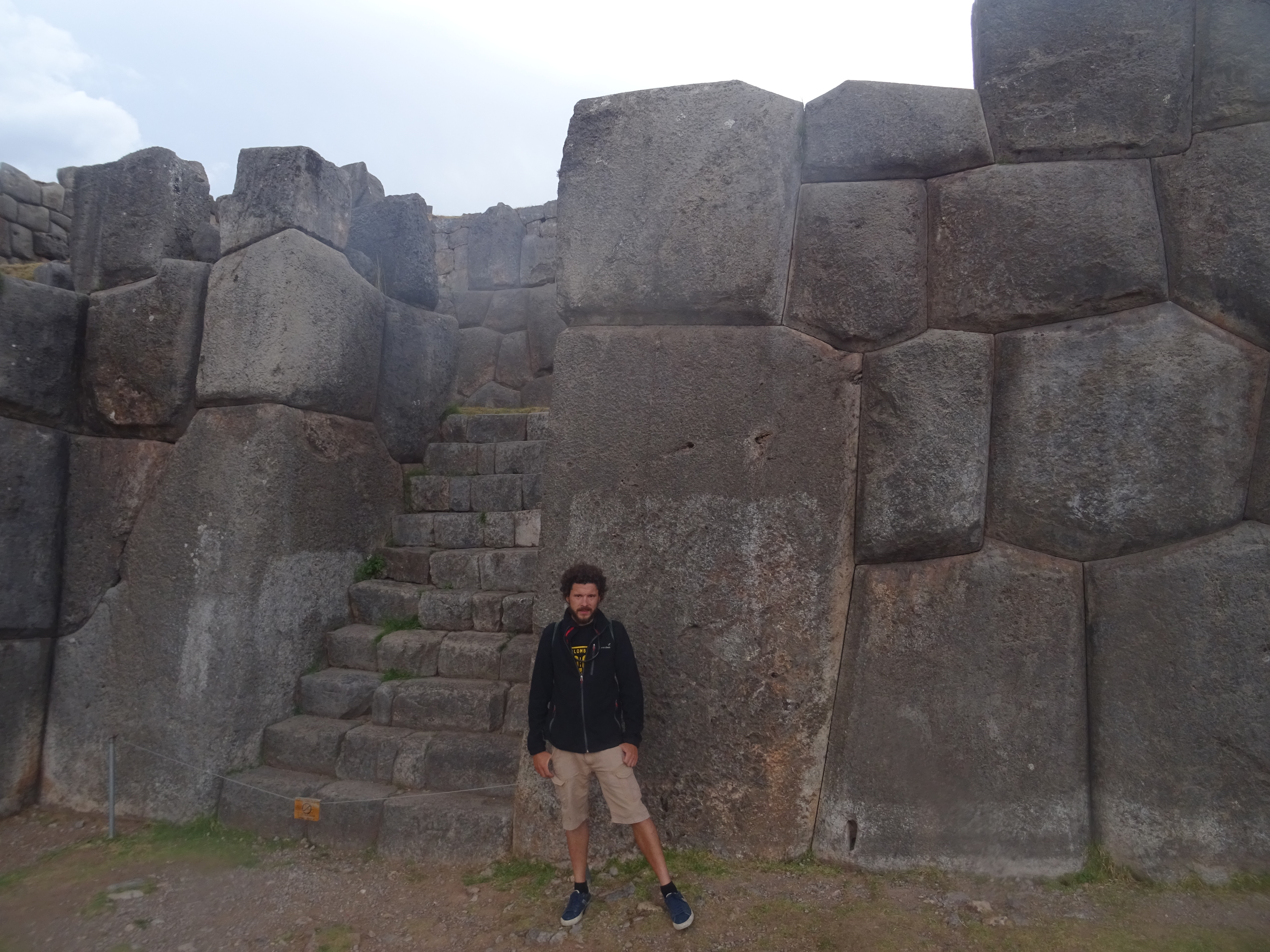
Cusco – Inca wall
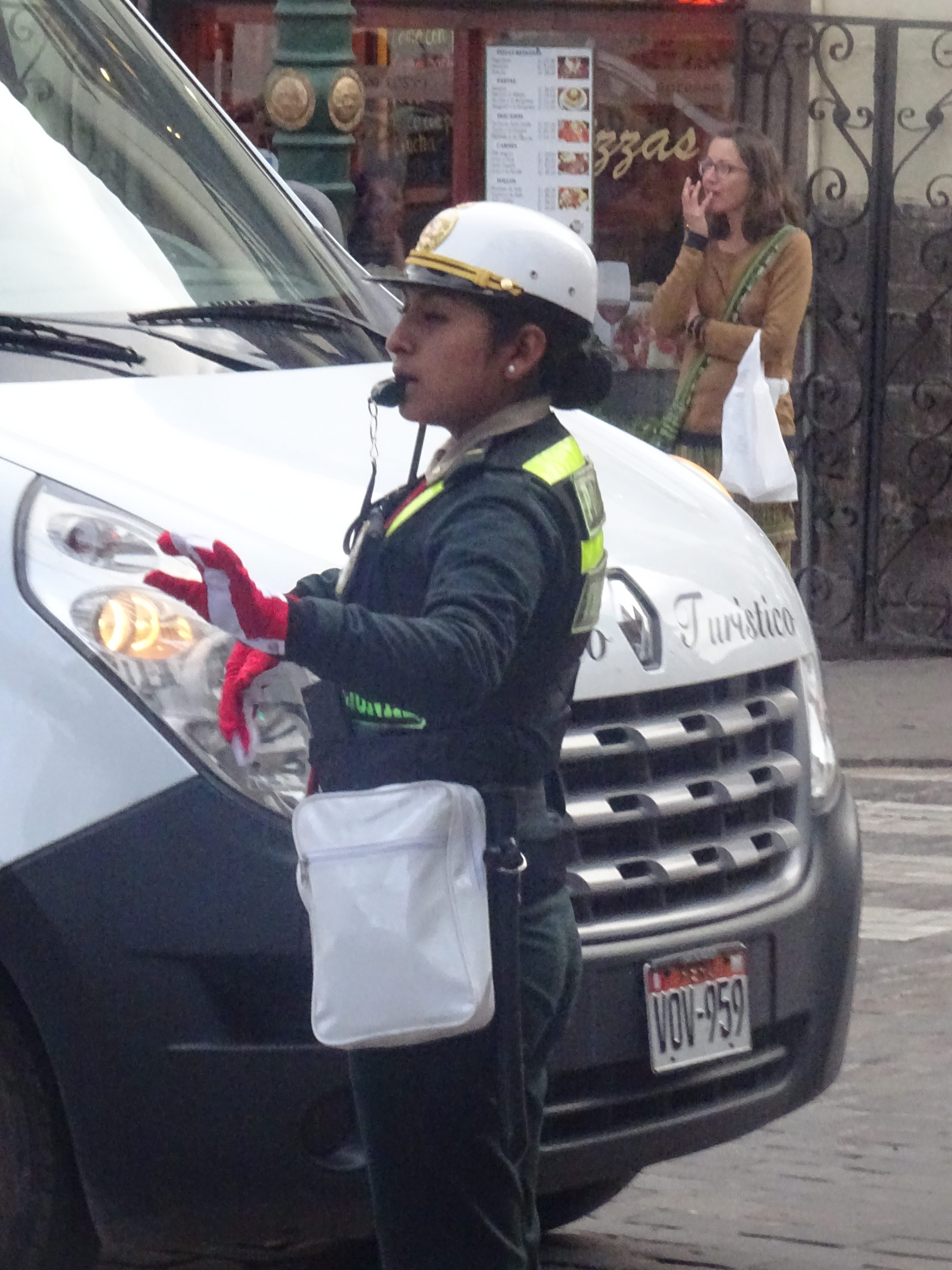
Cusco – Game day, this policewoman wears gloves with the colours of the country
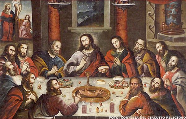
The last supper with… cuy! Spanish technique to evangelize the peruvians, adapting religion to what they knew. Their is also chicha morada, a corn-based drink, and hot pepper on the table. Picture from the internet, use of cameras was forbidden in the cathedral
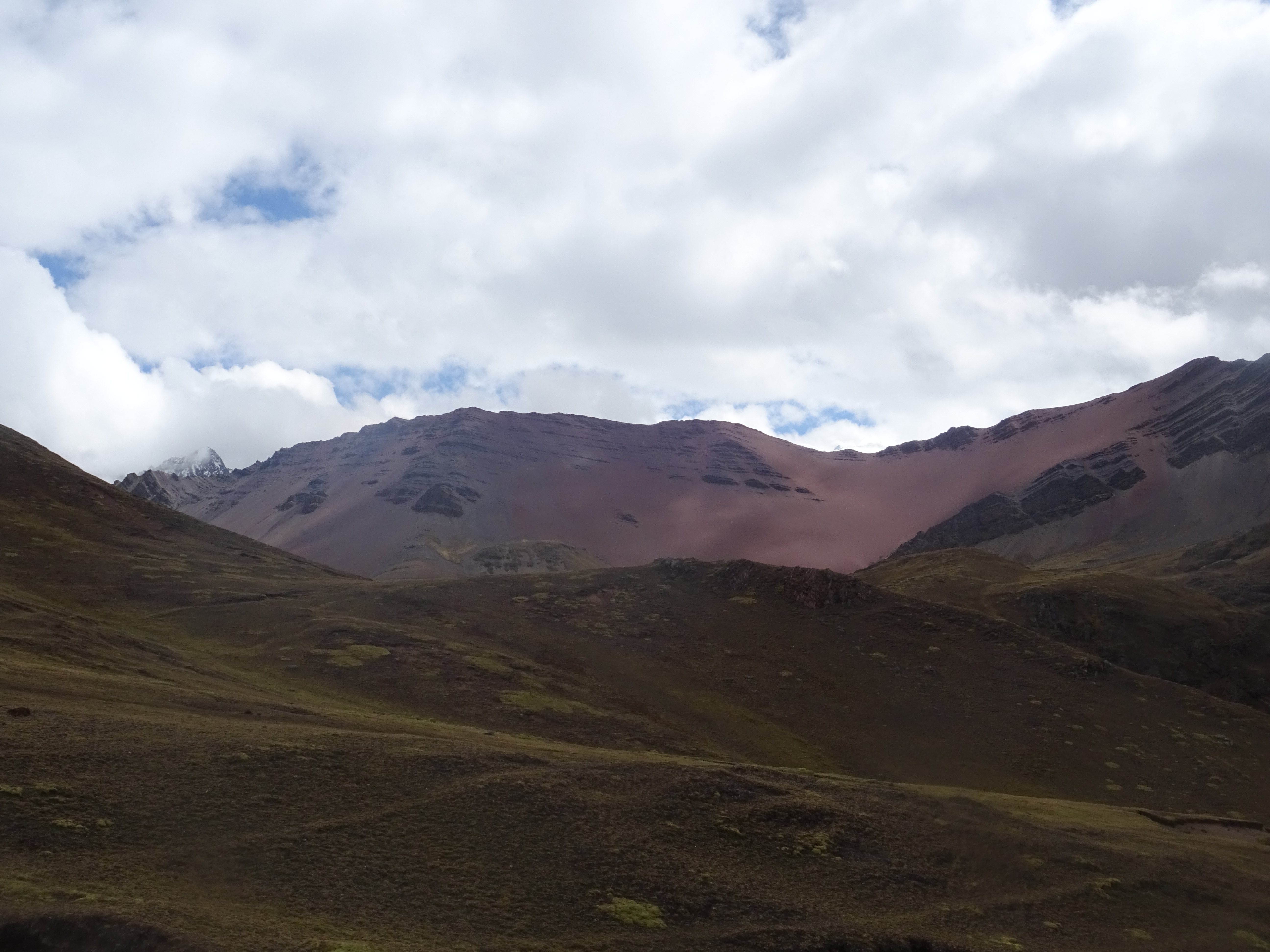
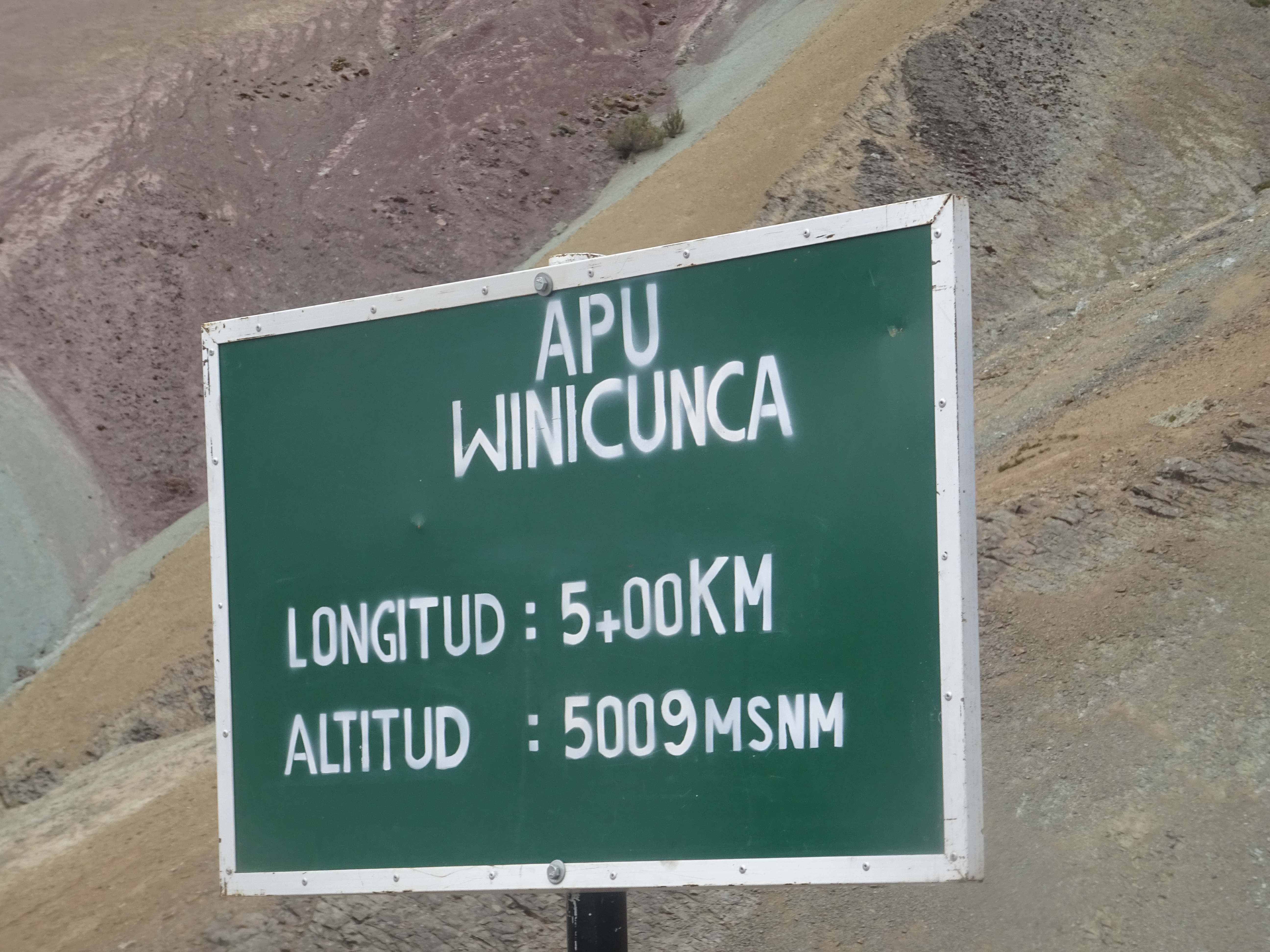
On wednesday the 11th, we woke up at 3am to go to the “rainbow mountain”, a nice colourful mountain, at 5000m of altitude.
On the way to the rainbow mountain
On the way to the rainbow mountain
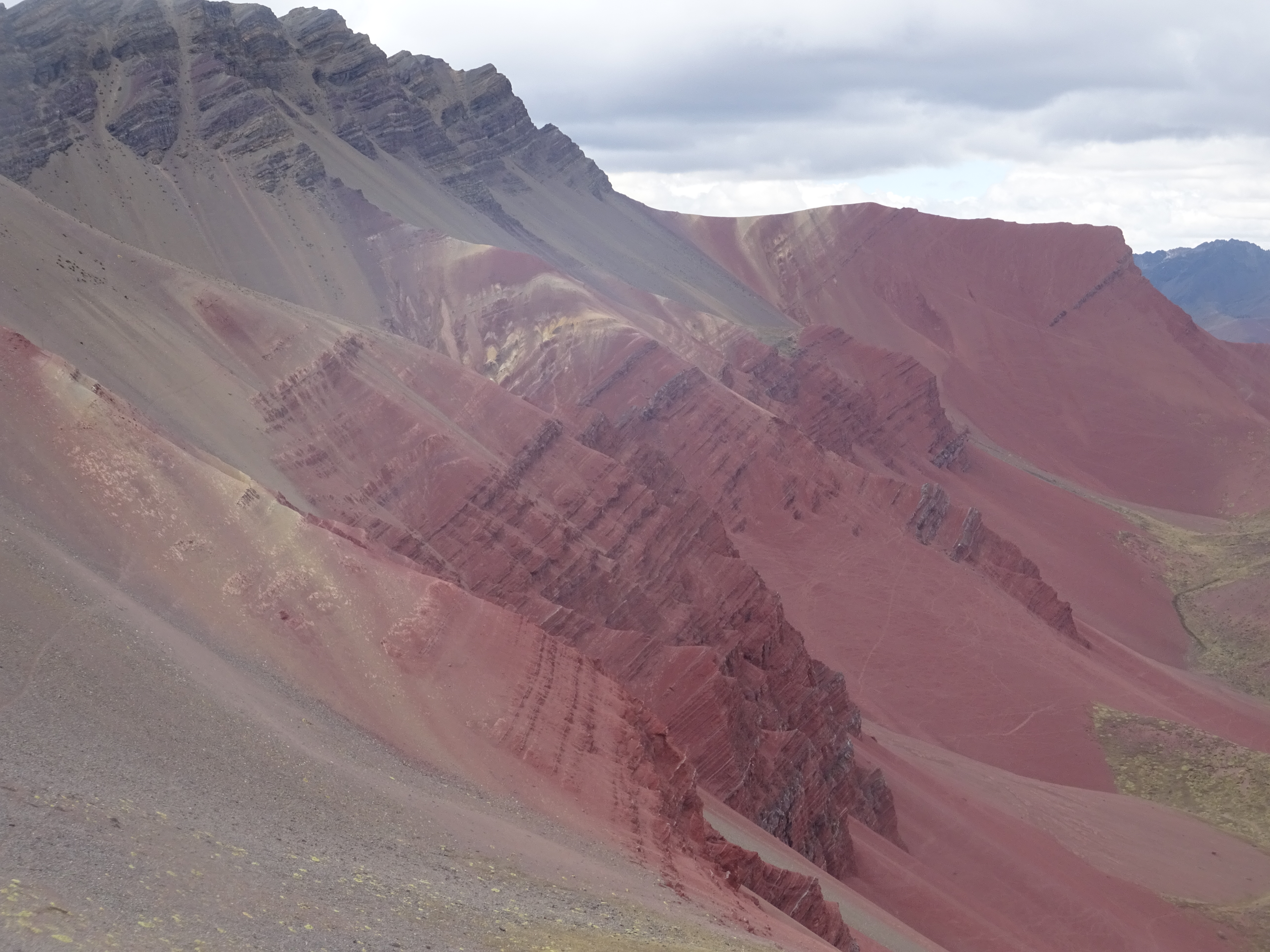
Rainbow mountain
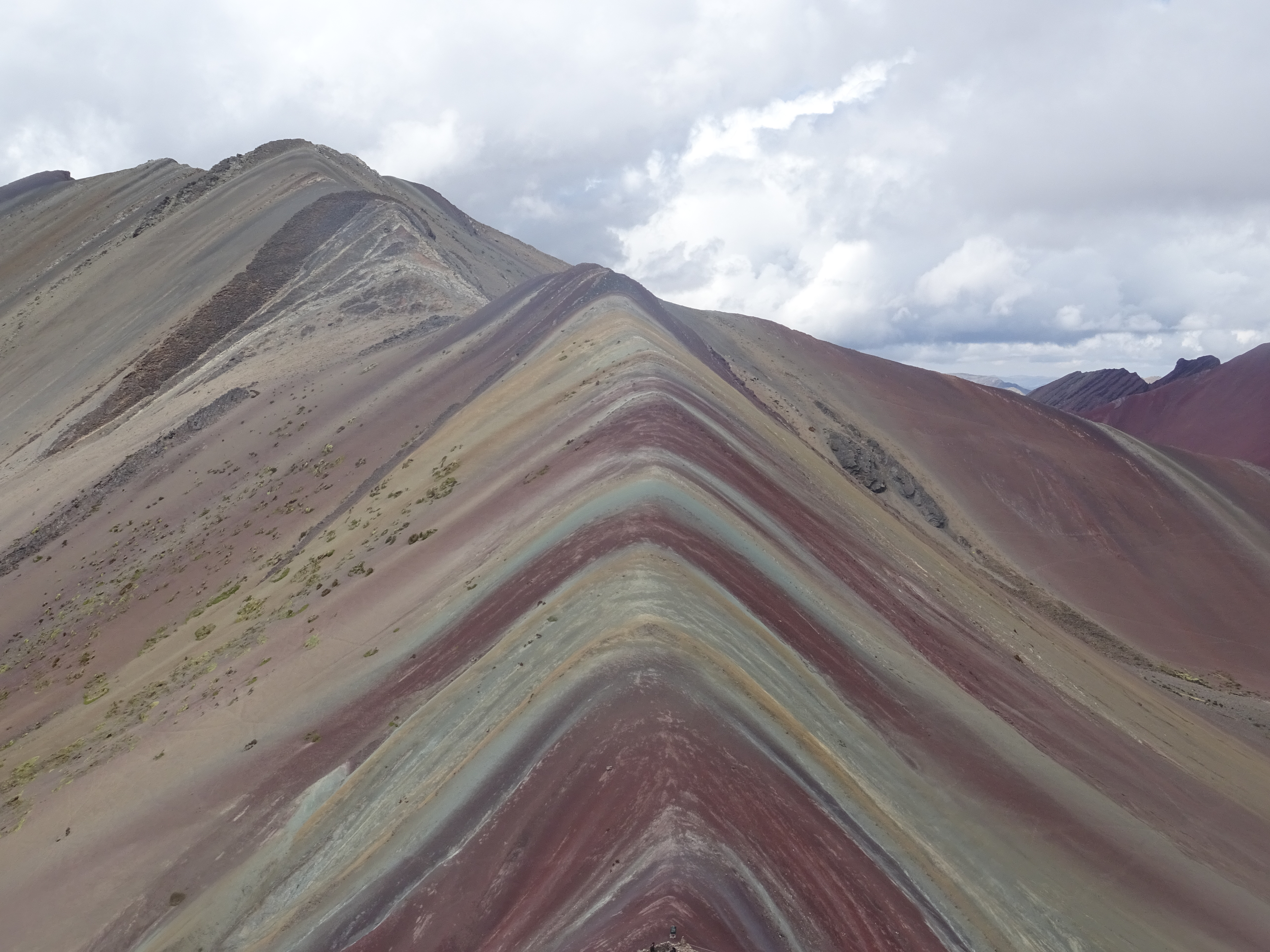
Rainbow mountain
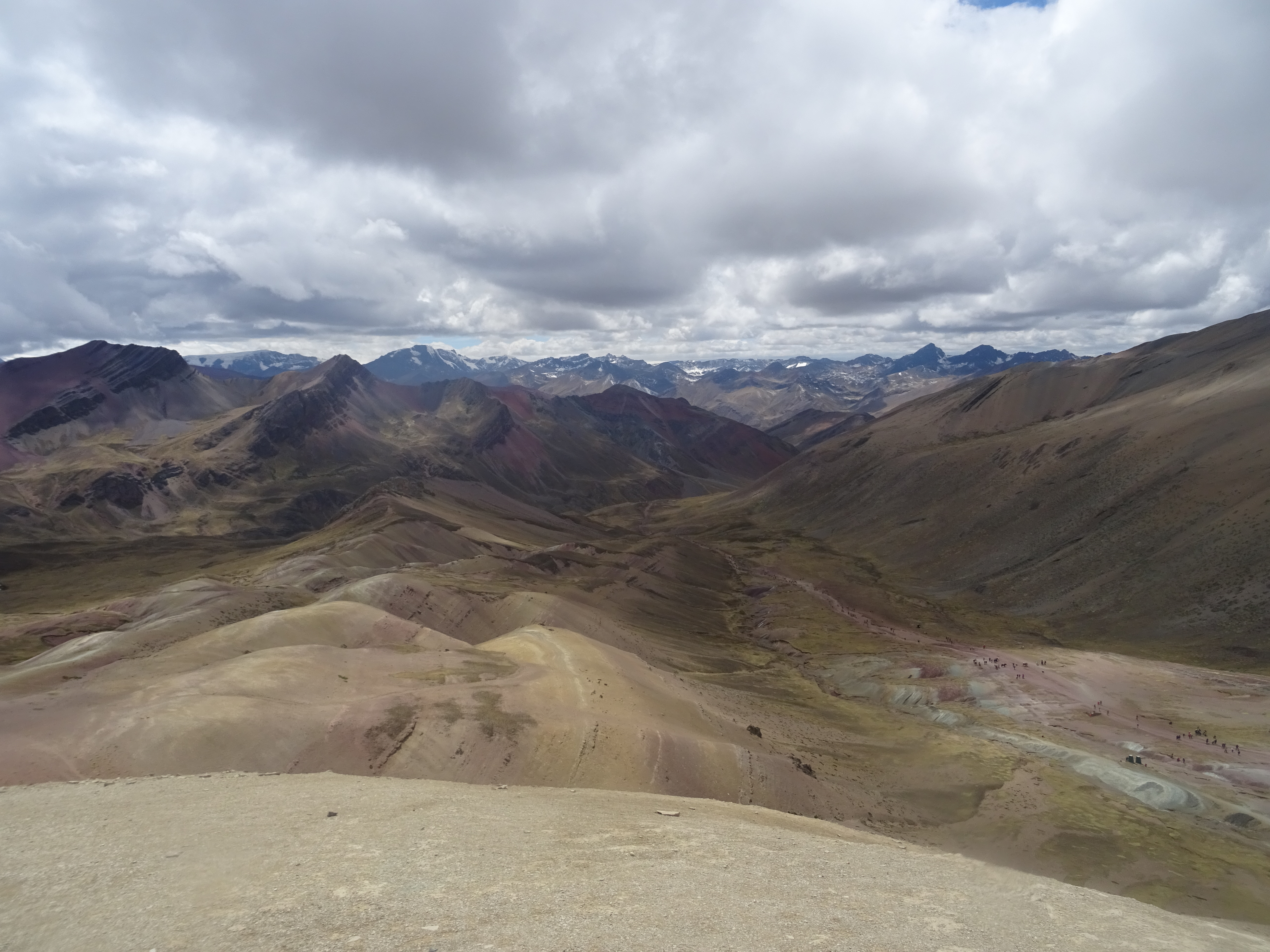
Rainbow mountain
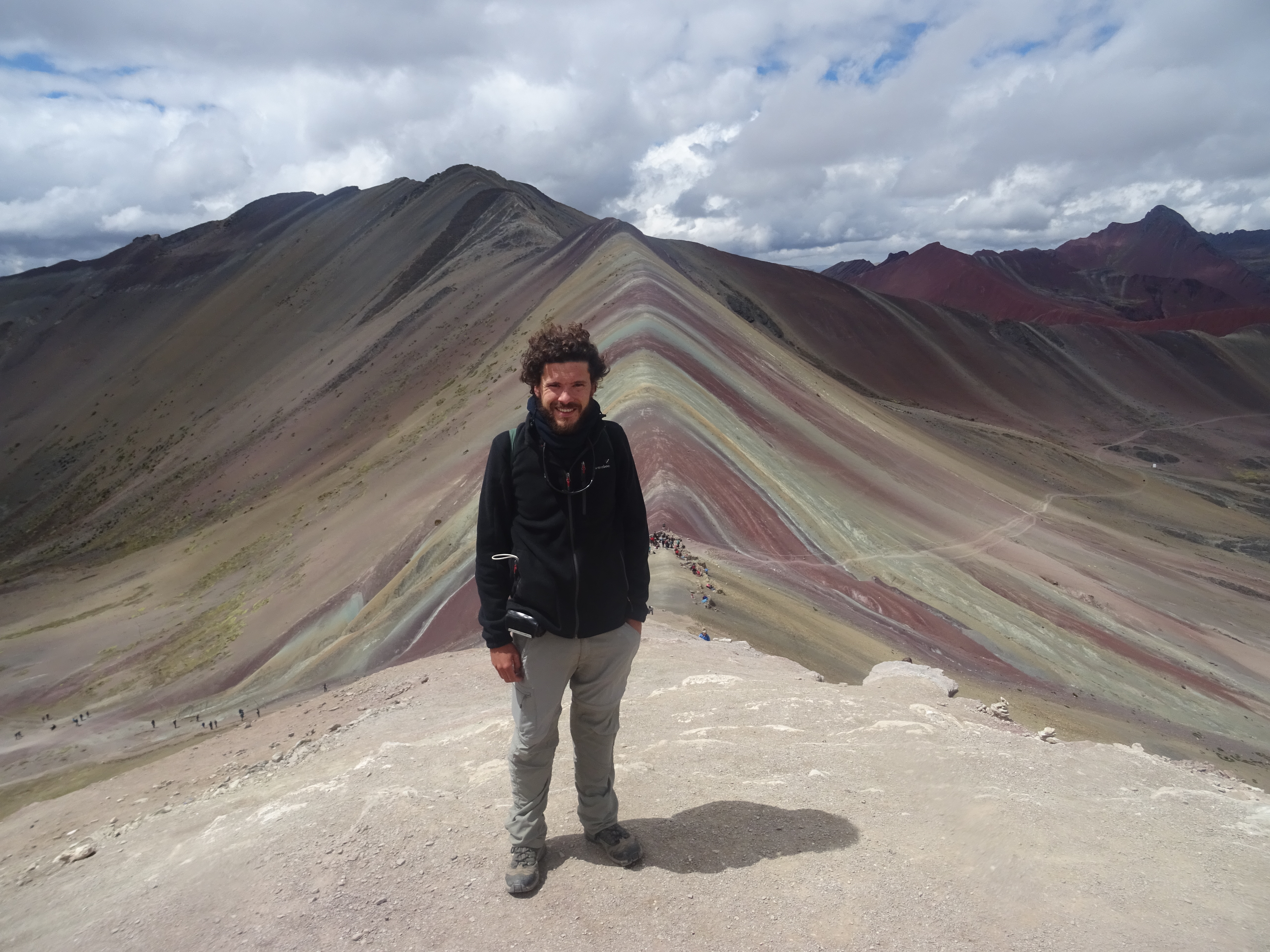
Rainbow mountain
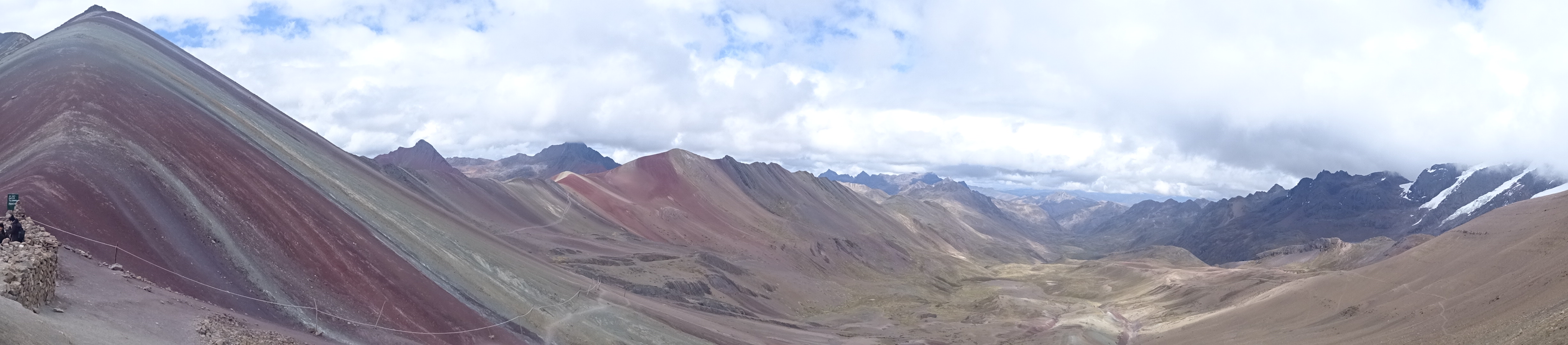
The tour we took (it’s difficult to go to the rainbow mountain solo) took us down the red valley, which was really worth seeing.
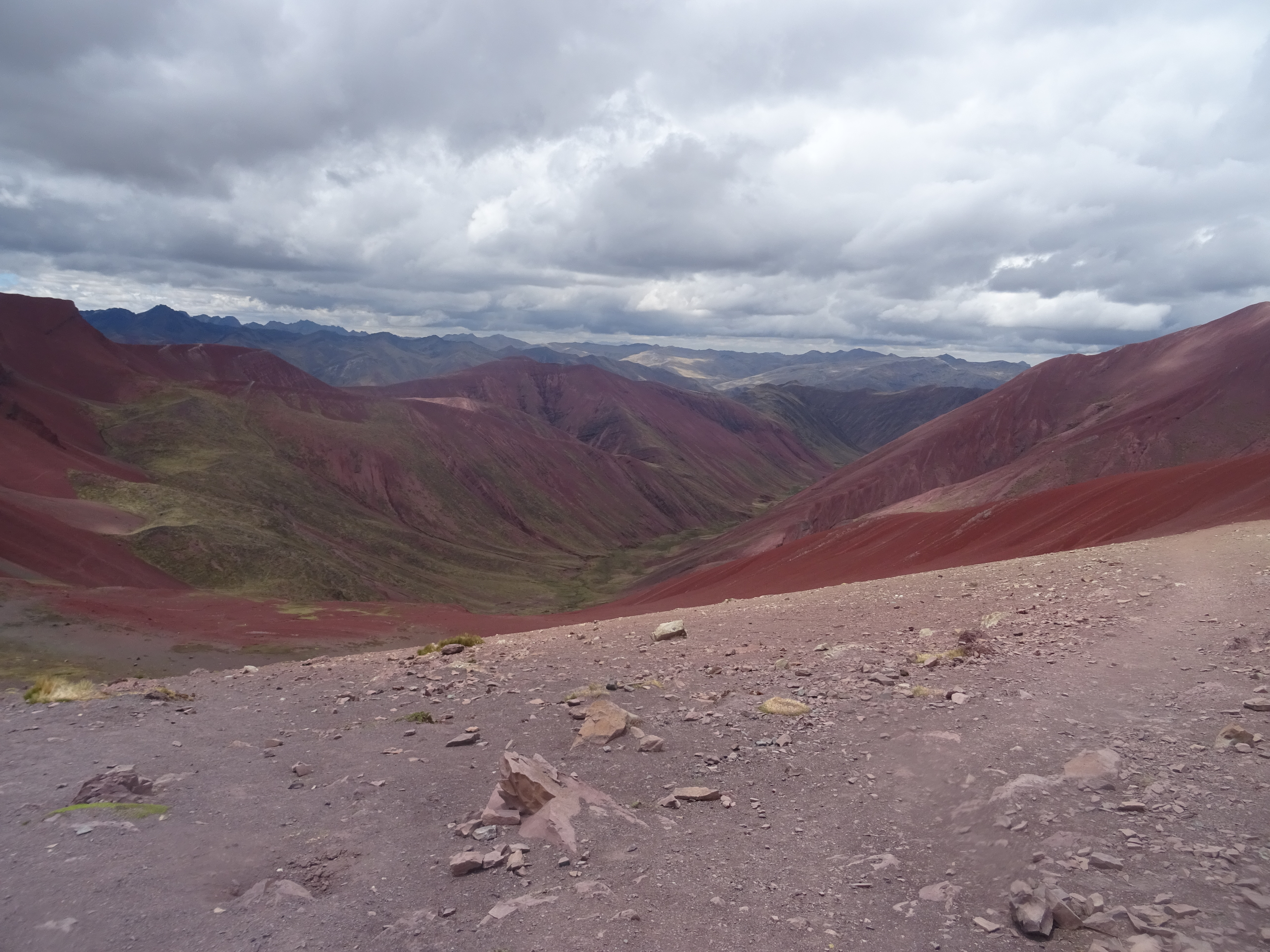
Valle Rojo
Valle Rojo
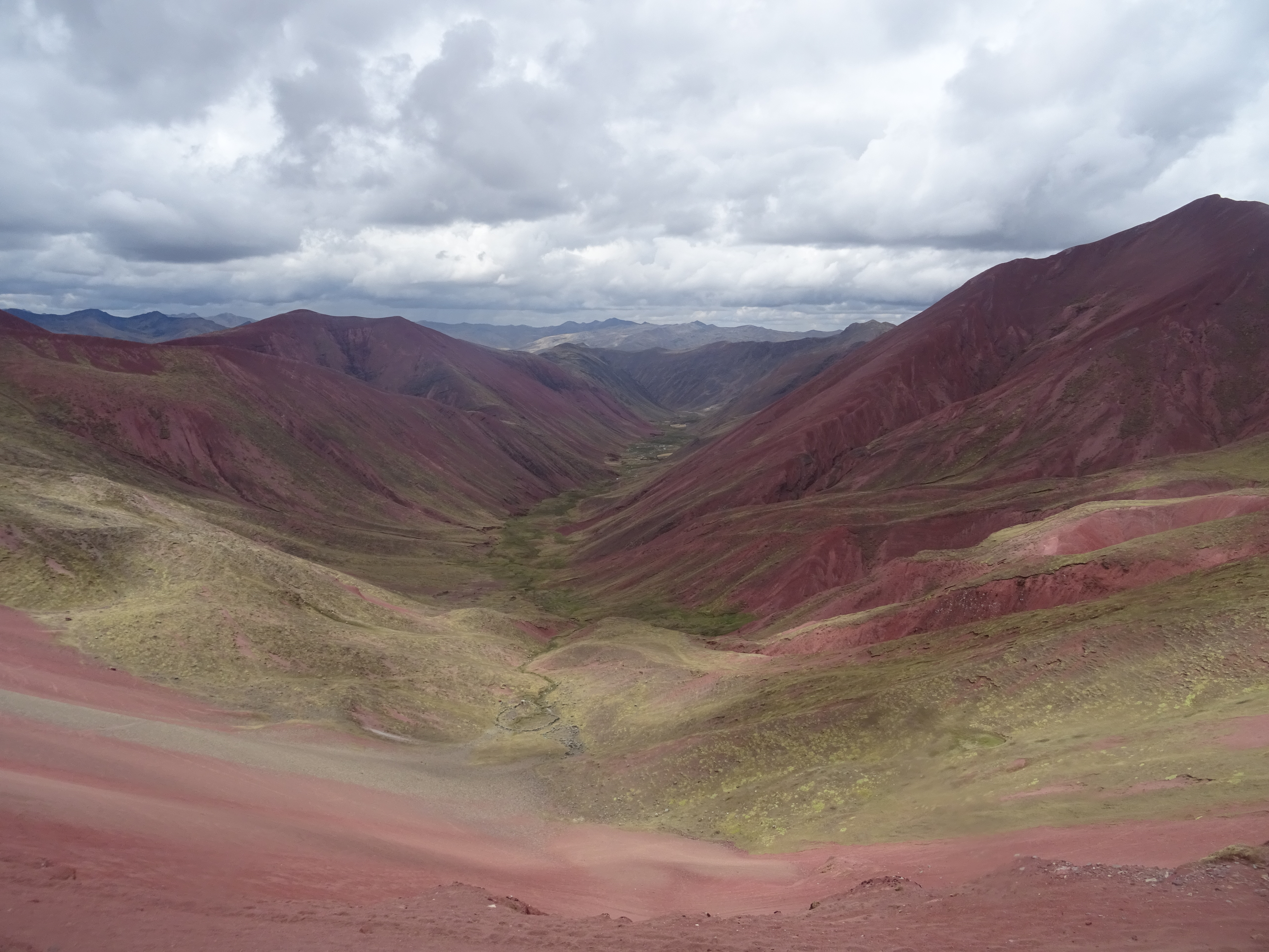
Valle Rojo
Valle Rojo
Valle Rojo
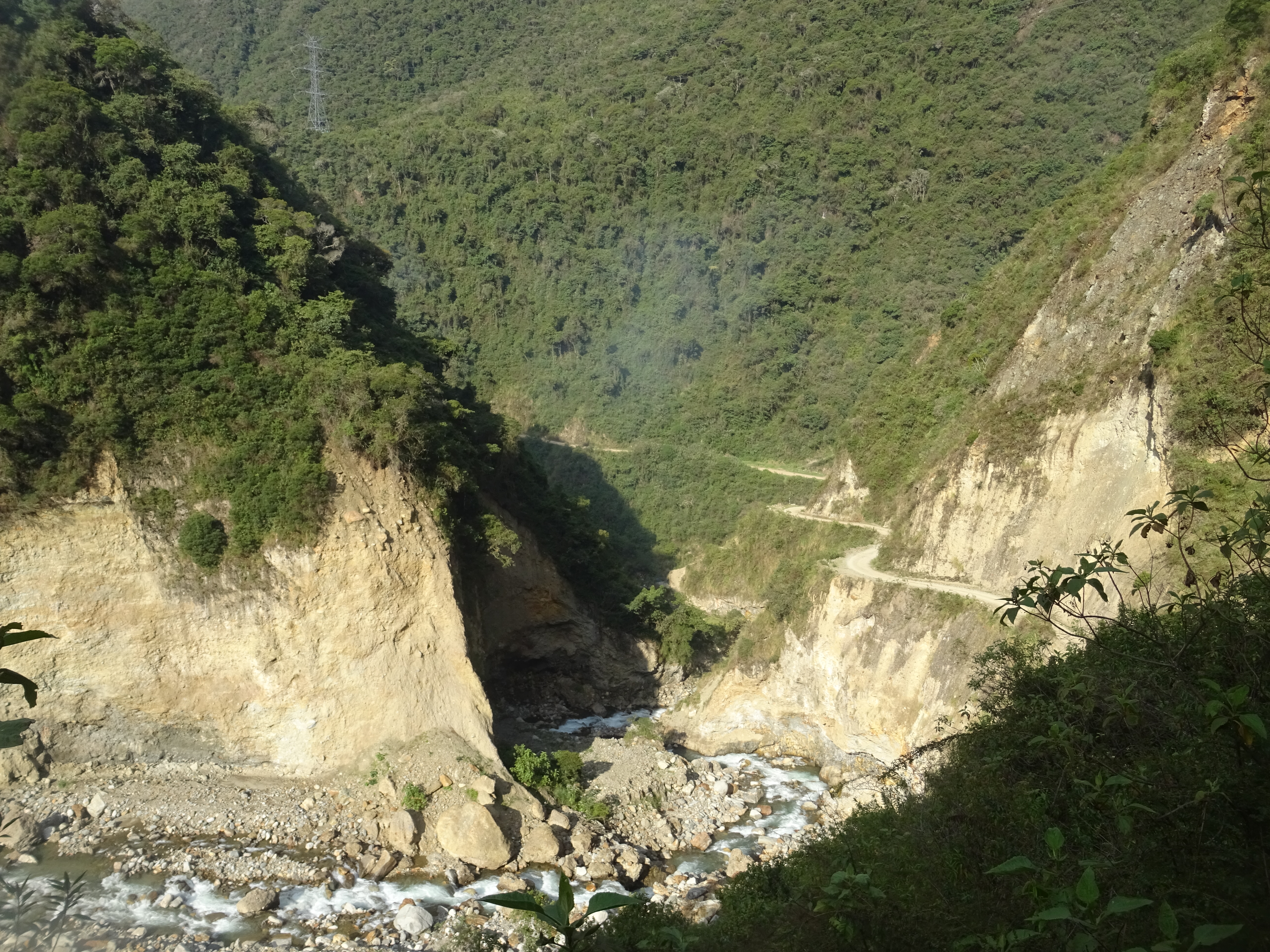
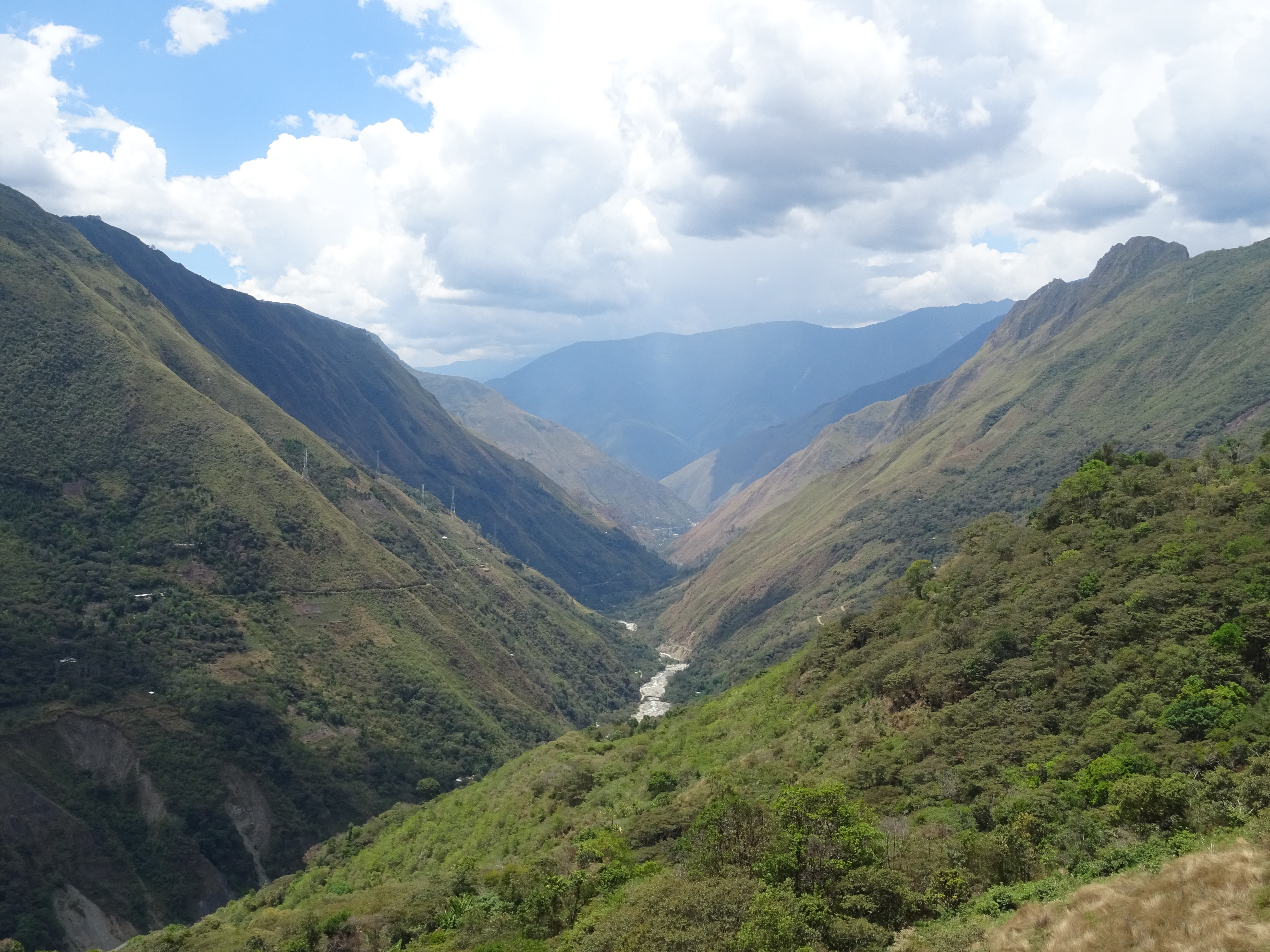
The next day, I woke up very early again, to leave for the Salkantay Trek, to Machu Picchu. I went solo againon this trek, in 3 days. I took a bus to Mollepata at 4am, and then a pickup truck to Soraypampa, and started walking around 8am.
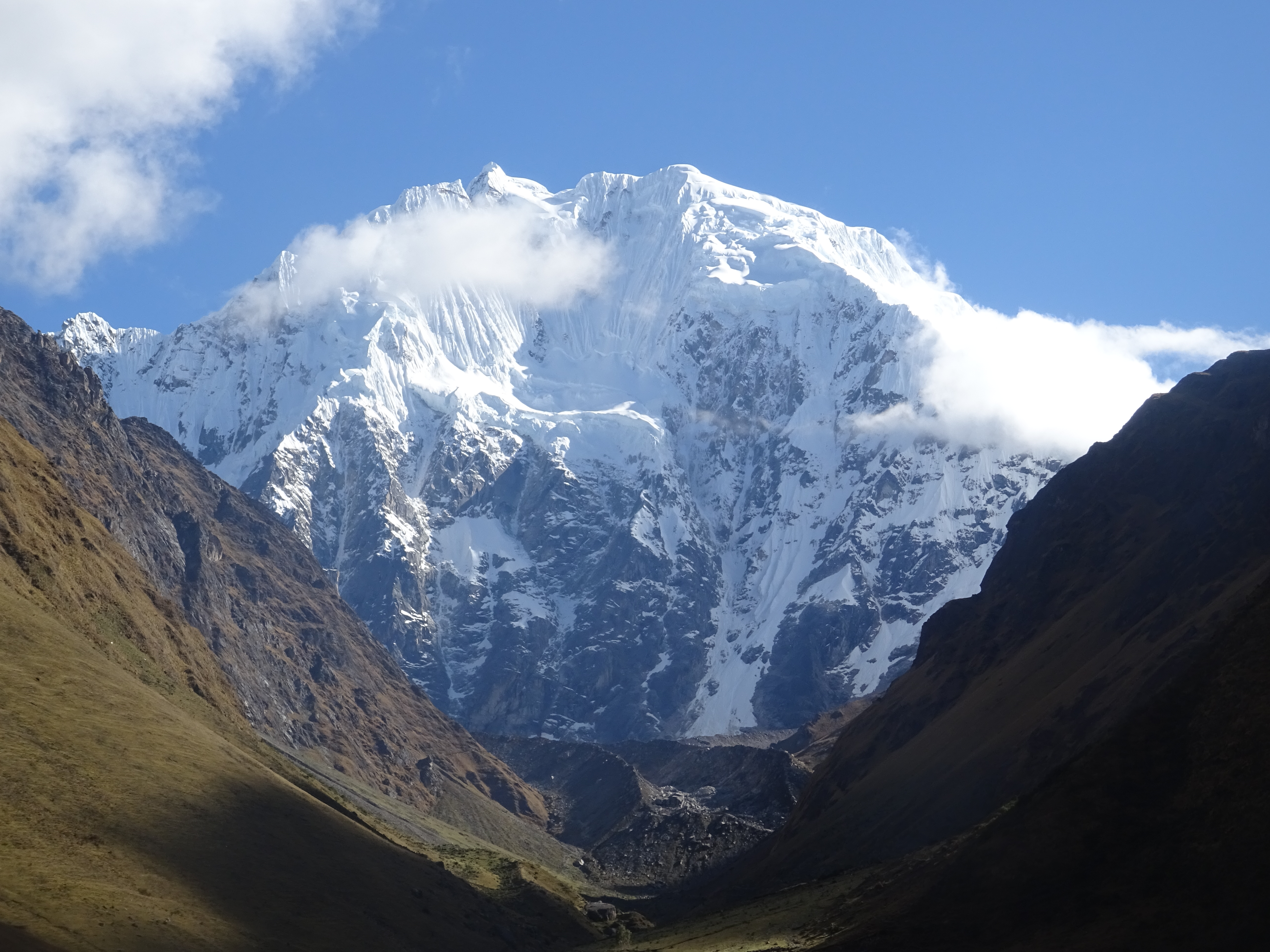
The Salkantay peak
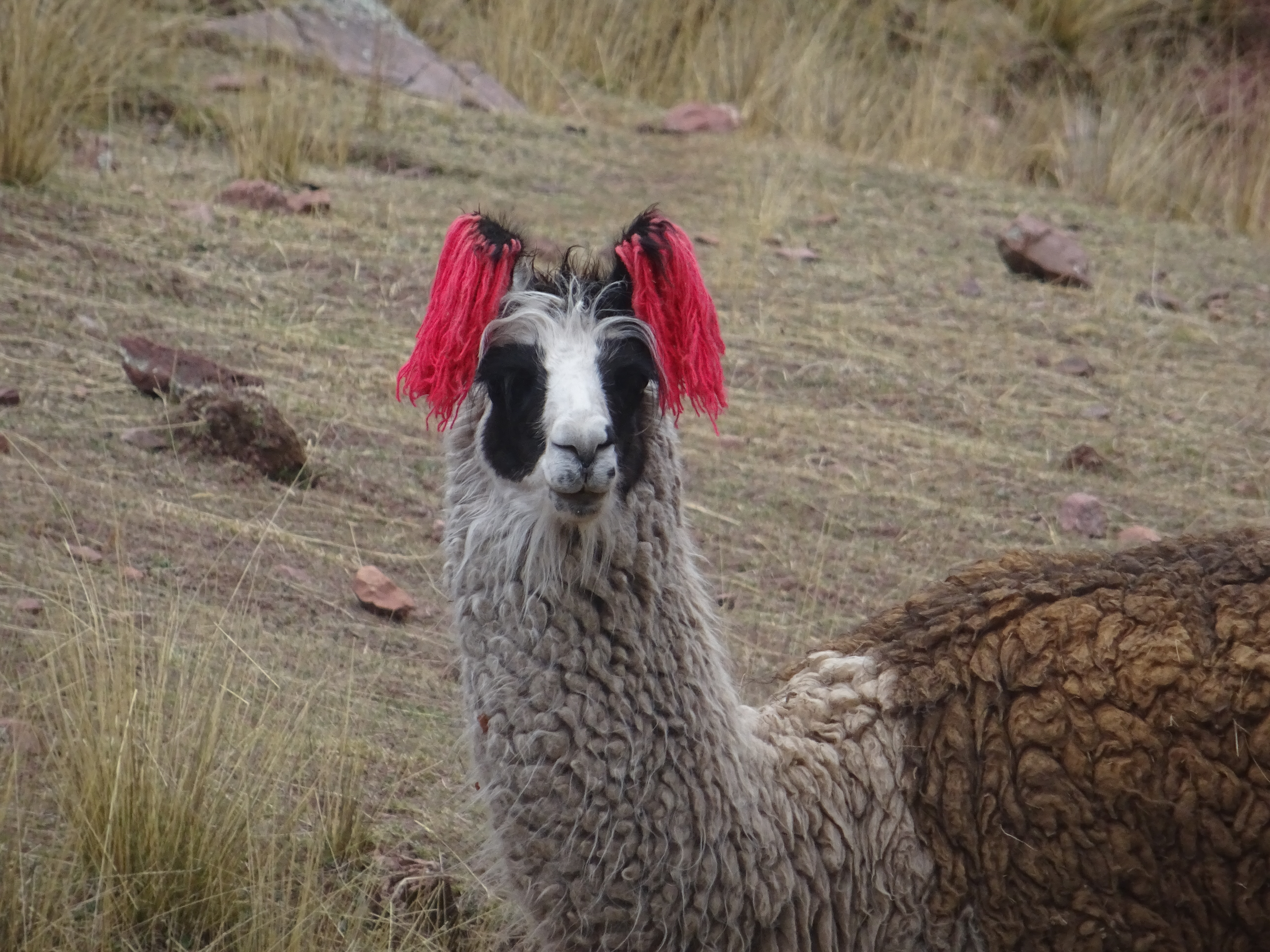
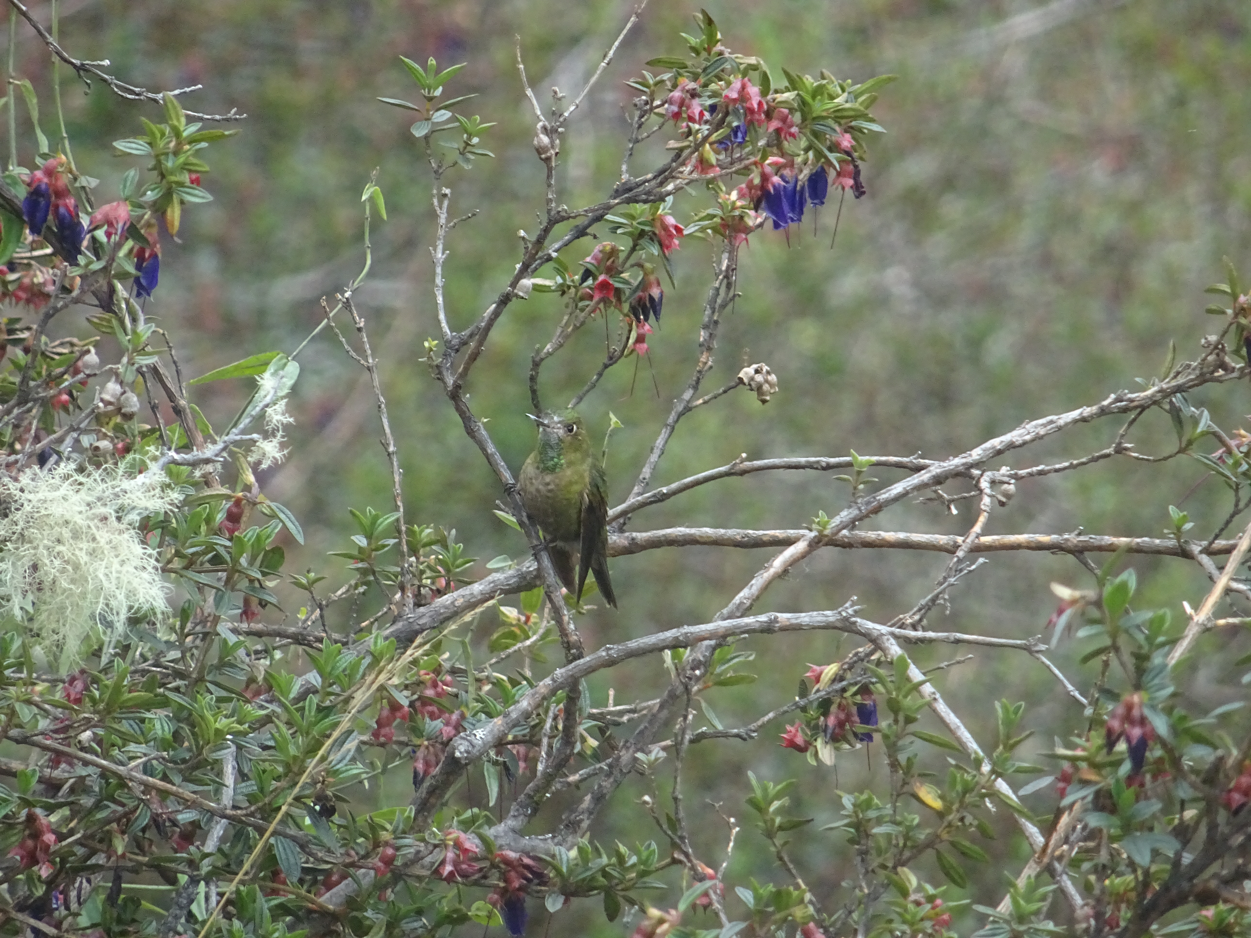
Salkantay trek
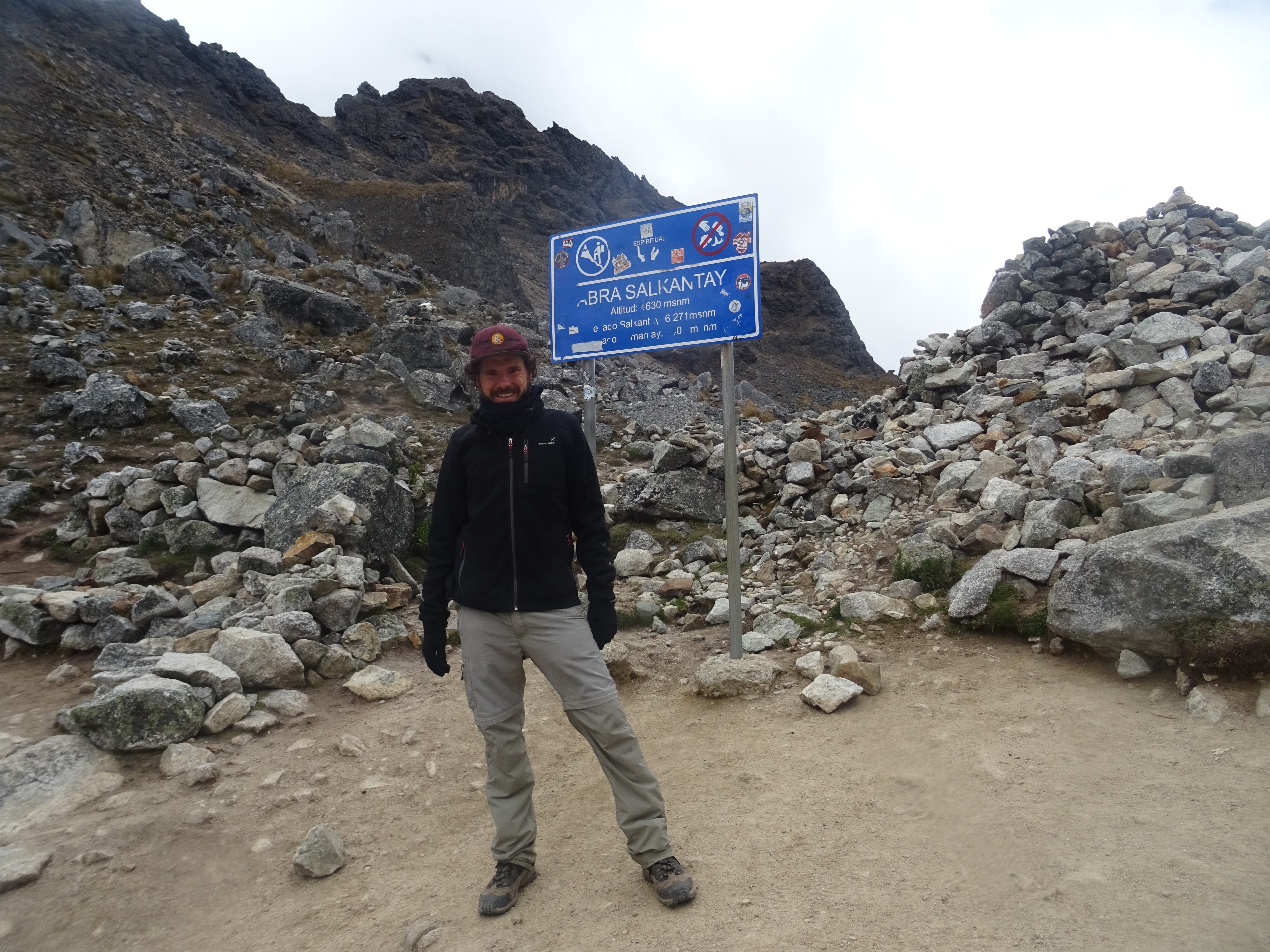
On the first day, the trek starts by going uphill to a saddle at 4600m. On the way up, I start passing some guided groups. They camped at the place I left from, but started walking arounfd 6:30am. It feels pretty good and satisfactory to pass them with my big backpack, whereas they only carry a daypack, having donkeys carrying the heavy stuff. Once at the saddle, clouds are blocking the view of the Salkantay peak.
Salkantay trek
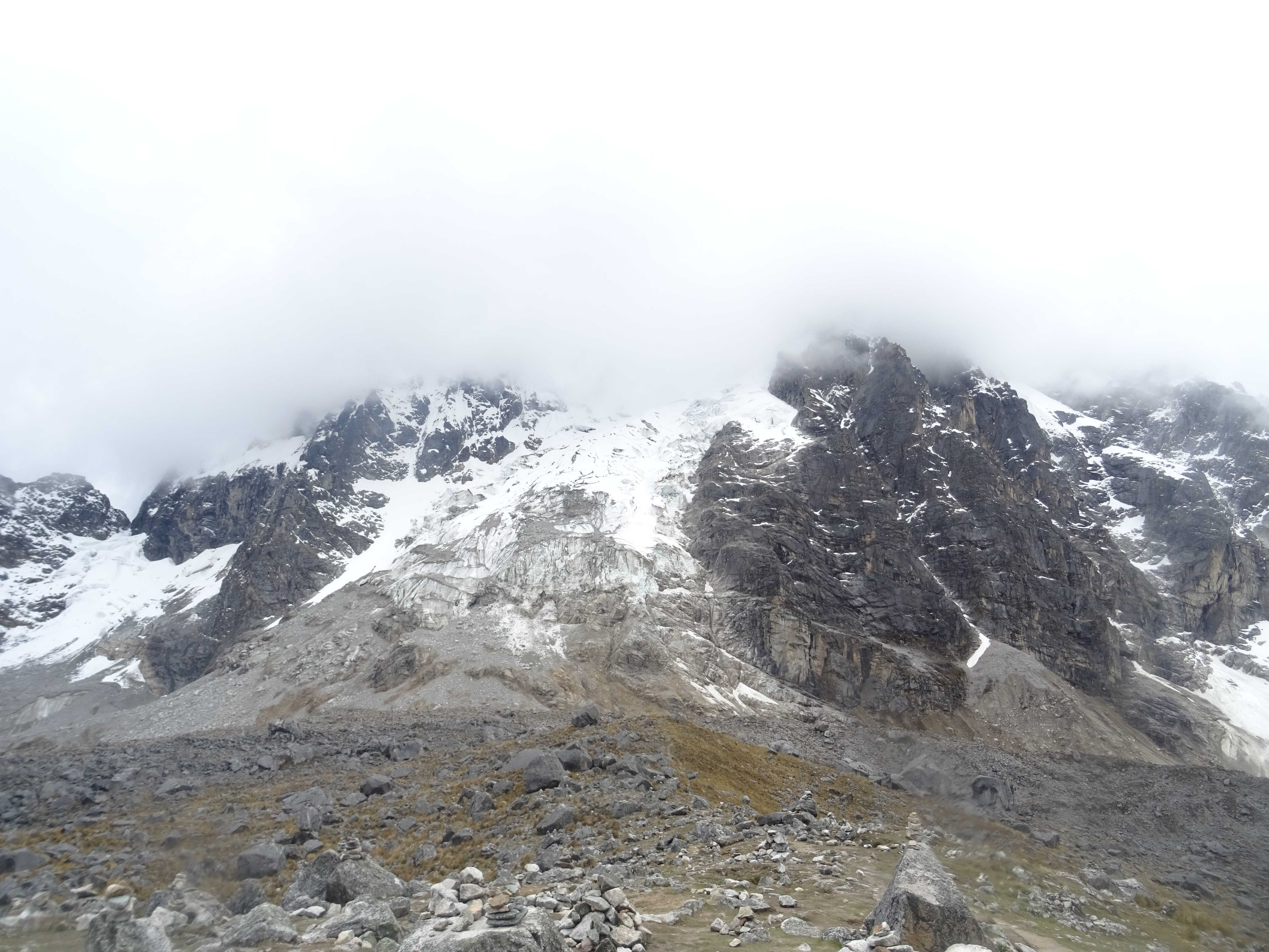
The Salkantay peak behind clouds
I continue walking and pass more groups, til noon when they all stop for lunch. I walk a bit more to get away from them.
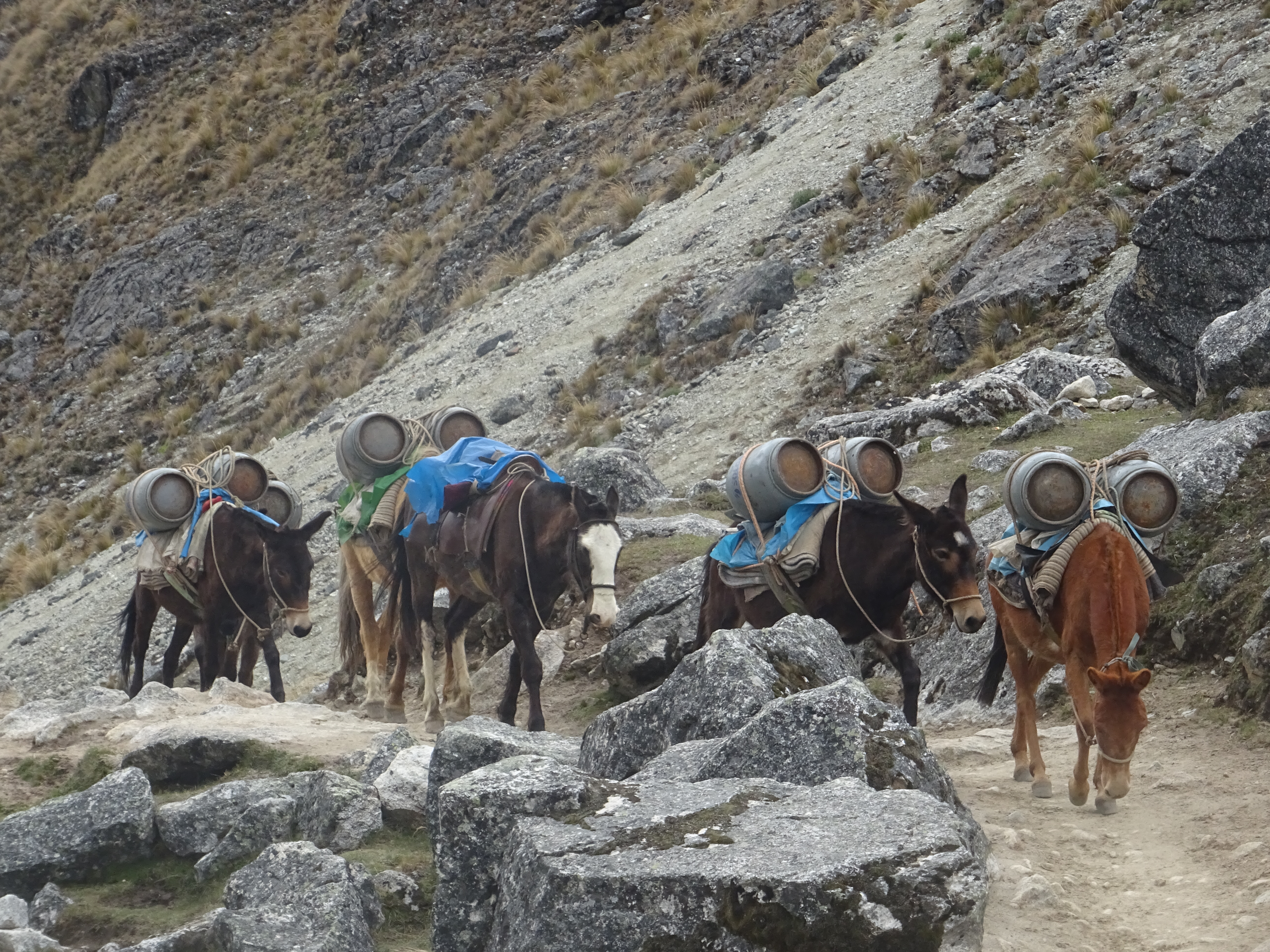
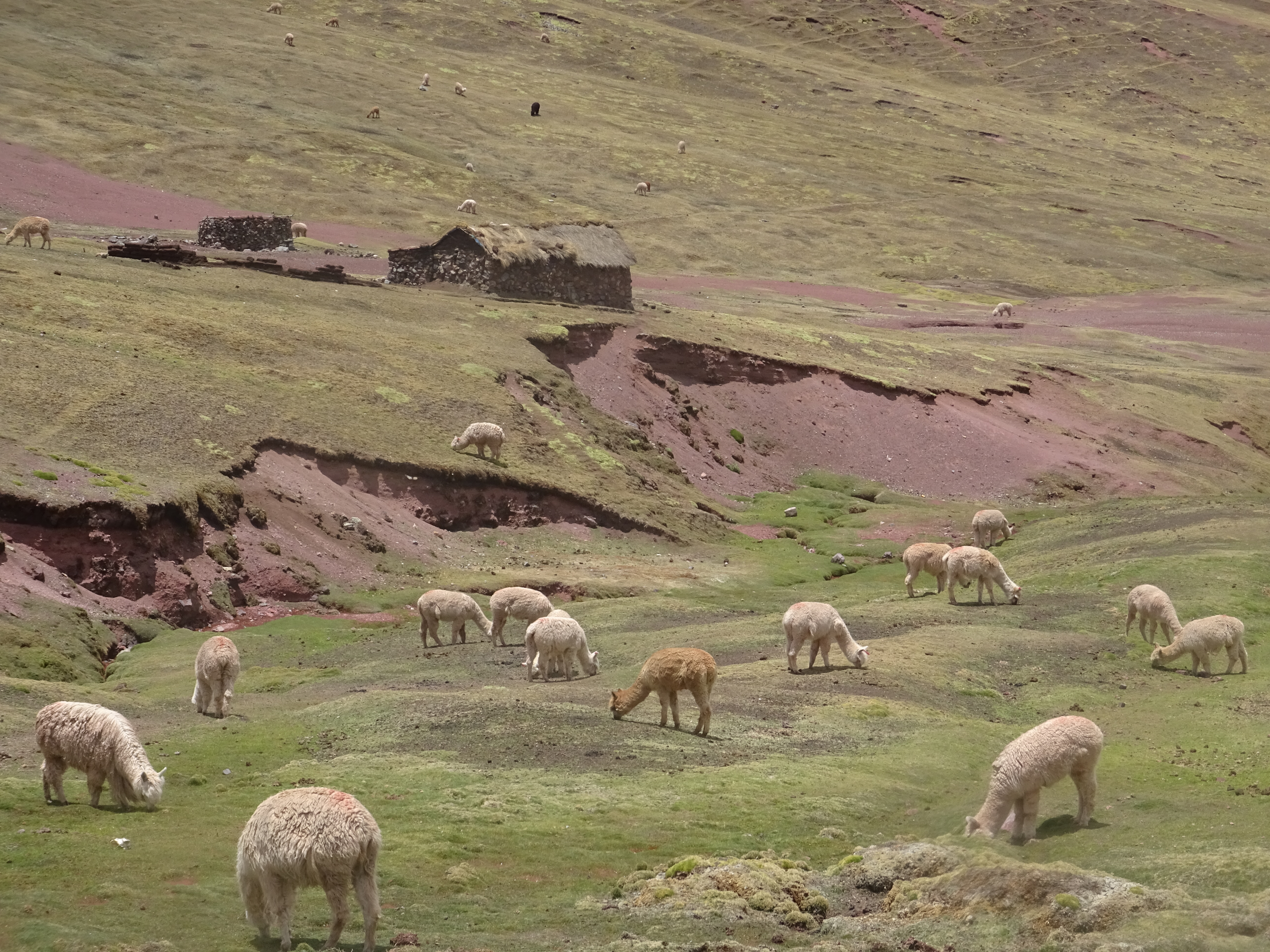
Donkeys carrying gear (here, gas) for guided groups
Salkantay trek
Salkantay trek
Salkantay trek
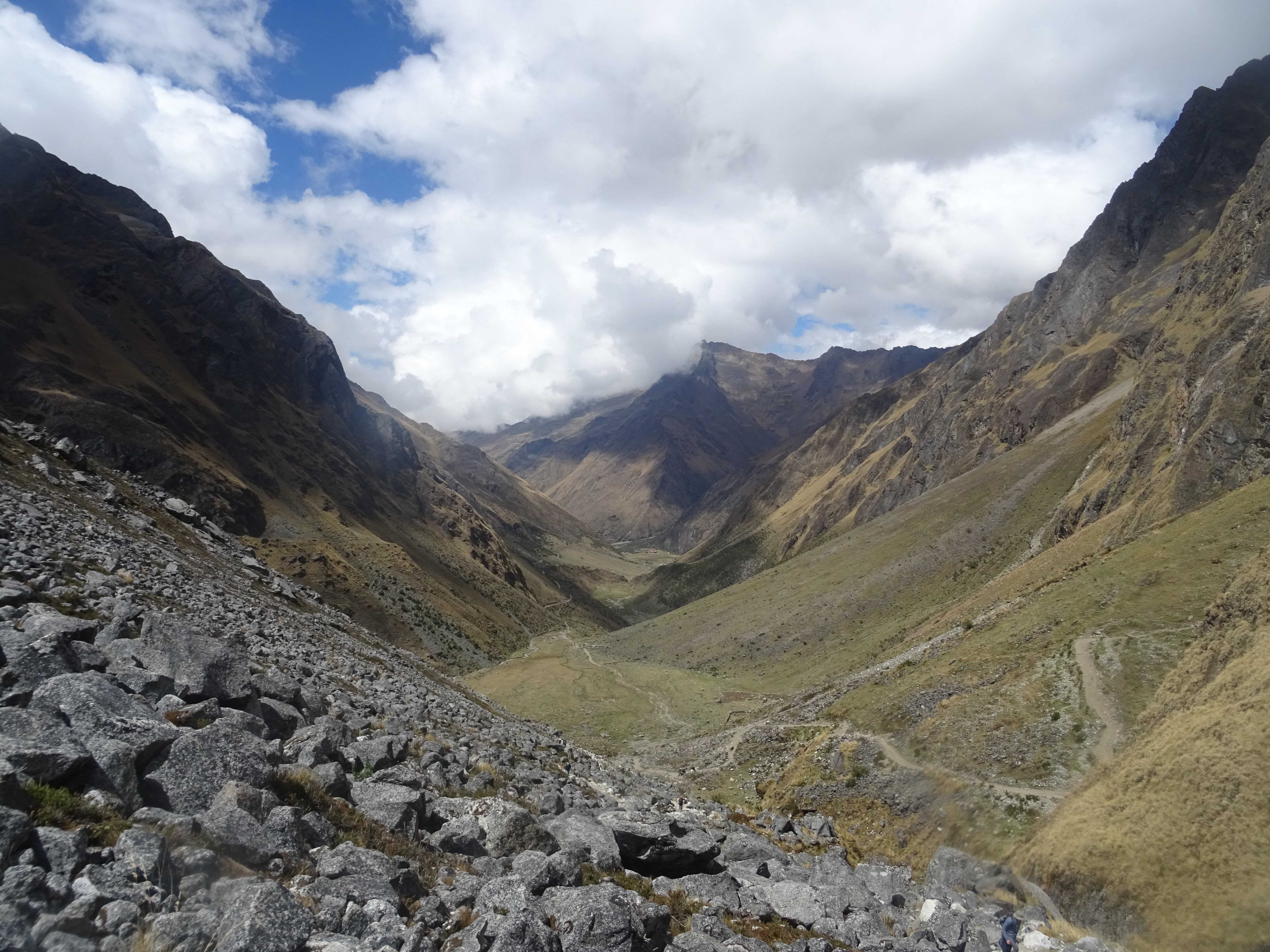
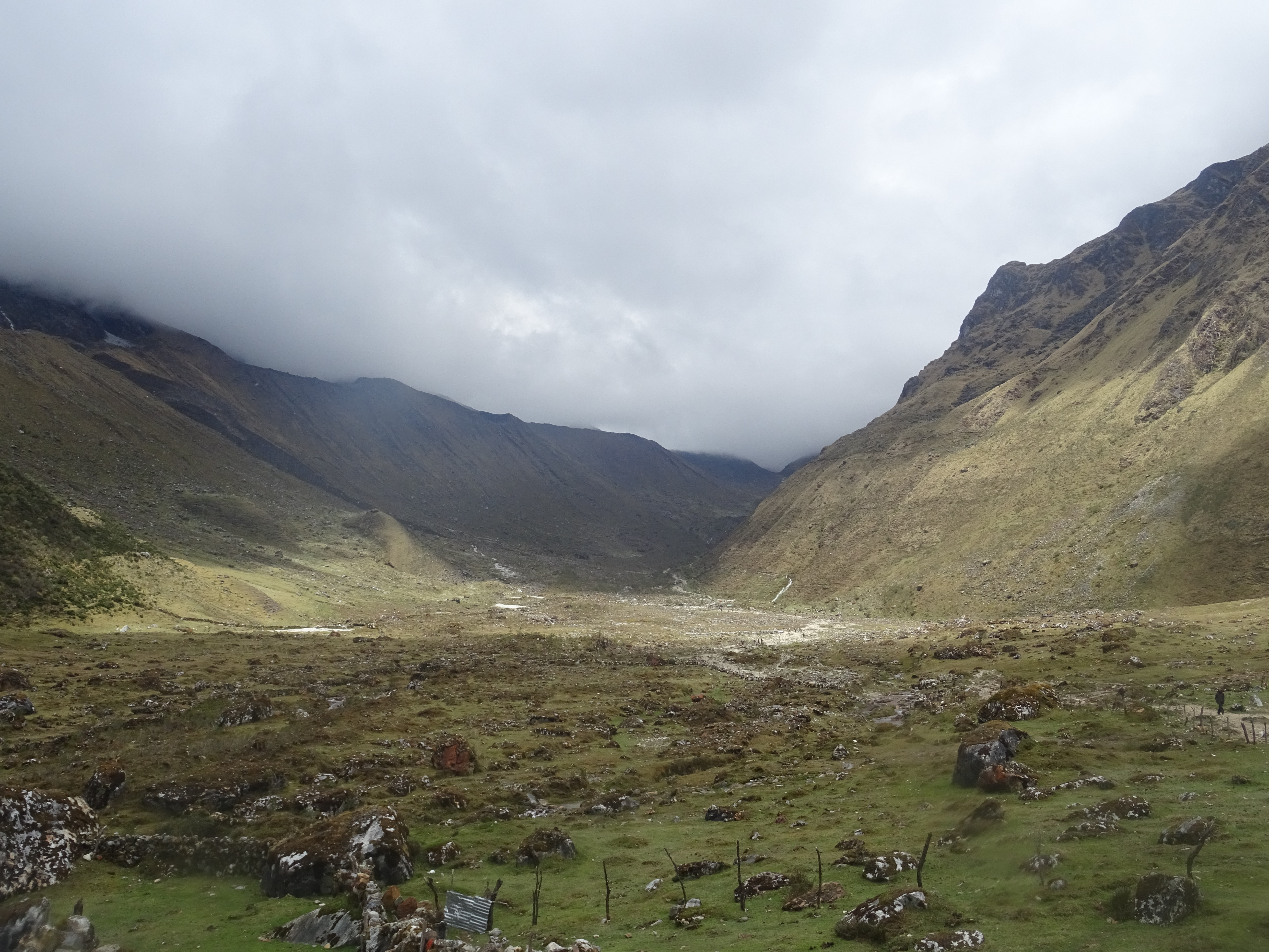
In the afternoon, I keep walking, only downhill, which hurts the knees a little. Around 3:30, I get to Chaullay, the town where the guided tours stop to camp. I ask around and locals tell me that 2h walking from there is a quieter camping spot, so I keep on my way. I get to the camping at 5:30, a little tired, but happy from my hiking day (26km). The next 2 hiking days should be shorter.
Salkantay trek
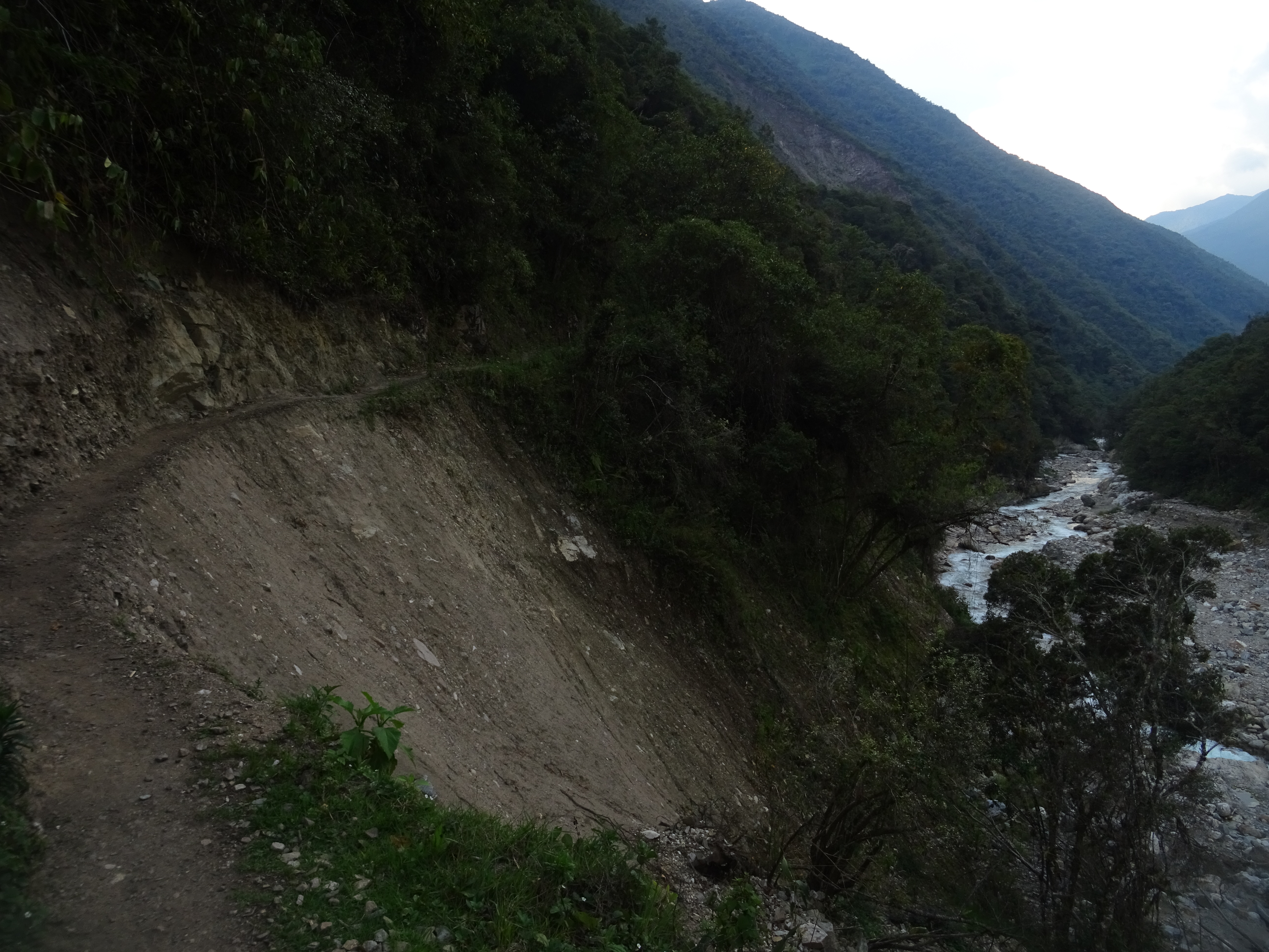
Salkantay trek
On friday, I walk in the morning until Playa, which is the second camping spot for guided tours. From there, it is 3 more hours uphill to Llaqtapata, and a camping spot with view to the Machu Picchu. I walk up til 3:30 and get to the camping, and indeed the view is amazing. I walk around the place before the night.
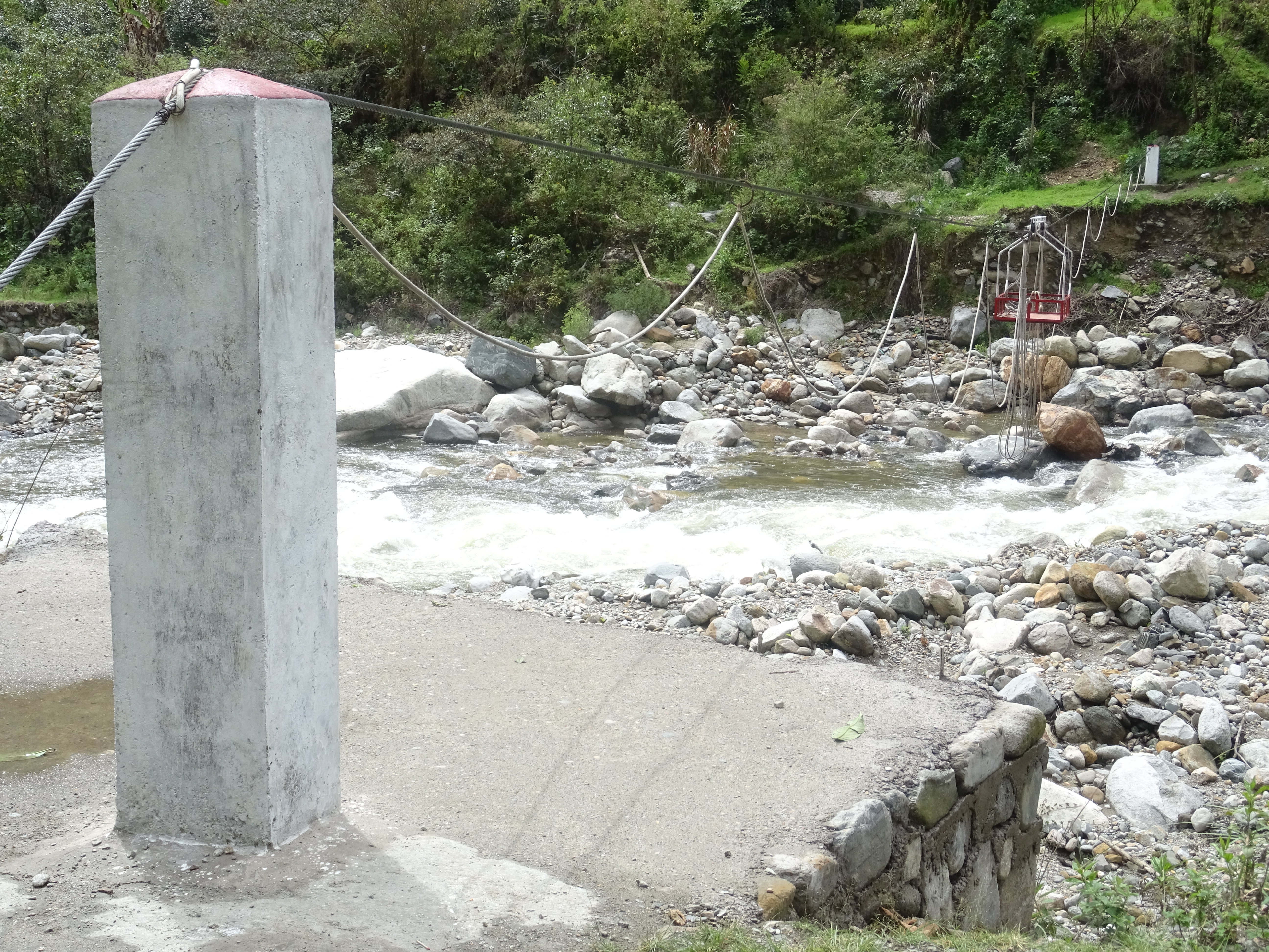
Salkantay trek – Local transport
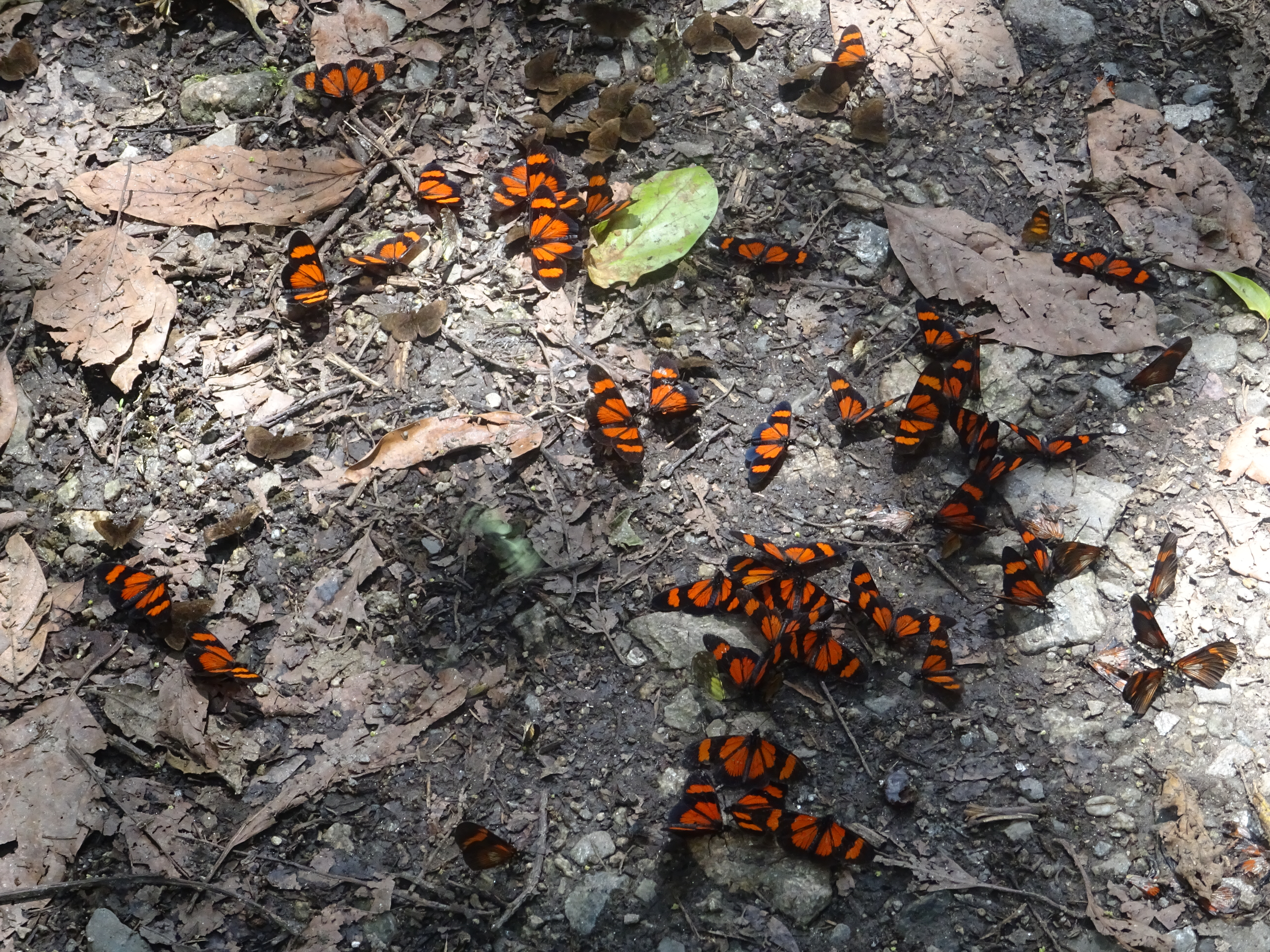
Salkantay trek
Salkantay trek
Salkantay trek – View on the Machu Picchu
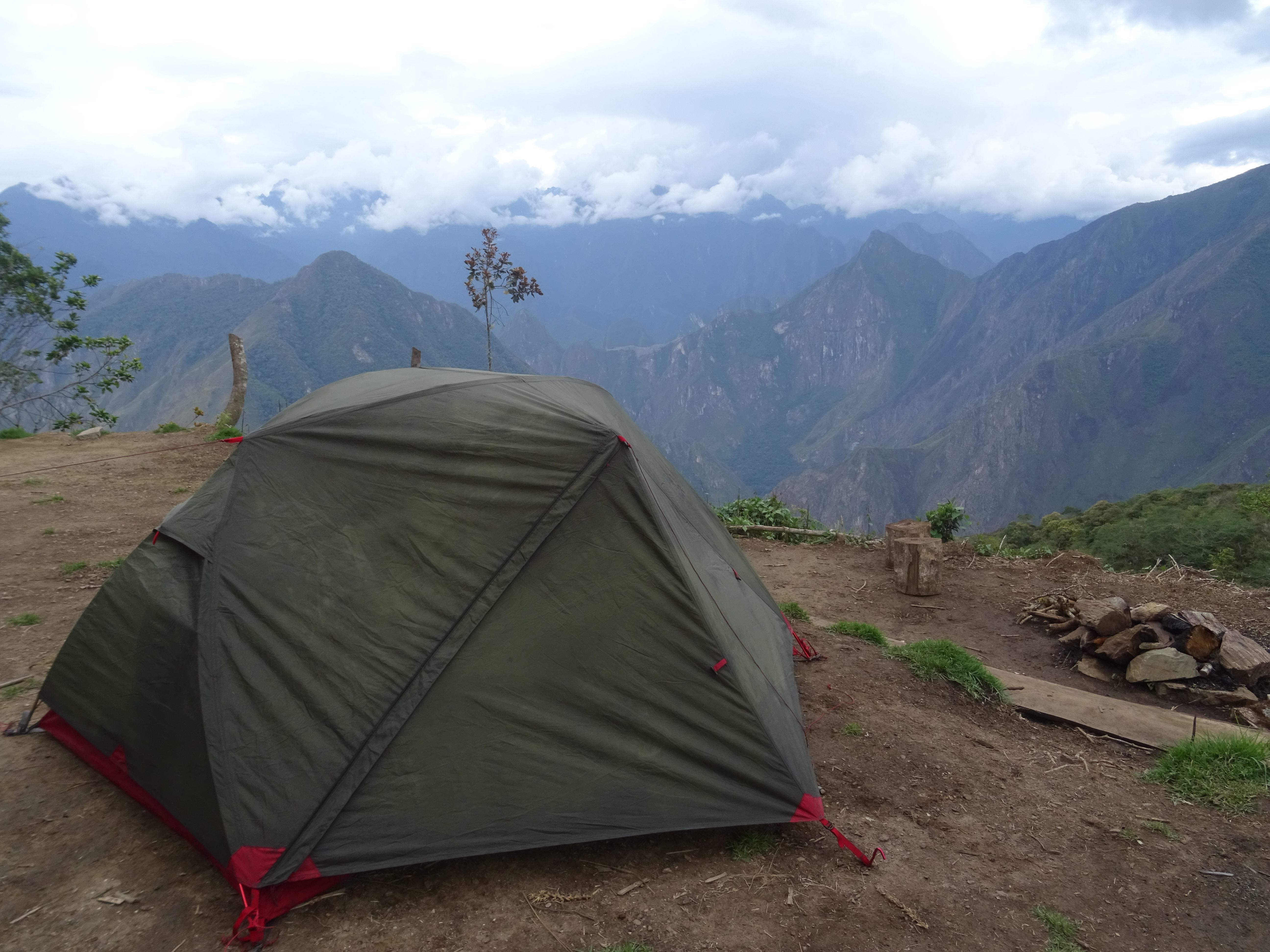
Salkantay trek – My tent and the Machu Picchu behind
Saturday the 14th, last hiking day. I leave early, and stop at the Llaqtapata ruins, which are really facing the Machu Picchu. Then, it’s 2 hours downhill, til a hydroelectric station, and 2 more hours along train tracks to Aguas Calientes, the village just under the Machu Picchu site. Right at the entrance of the village is the municipal camping, where I stop. In the afternoon, I walk around Aguas Calientes, this village created only for tourists. I’m impressed by the size of the town, compared to the very few houses I’ve seen during the trek.
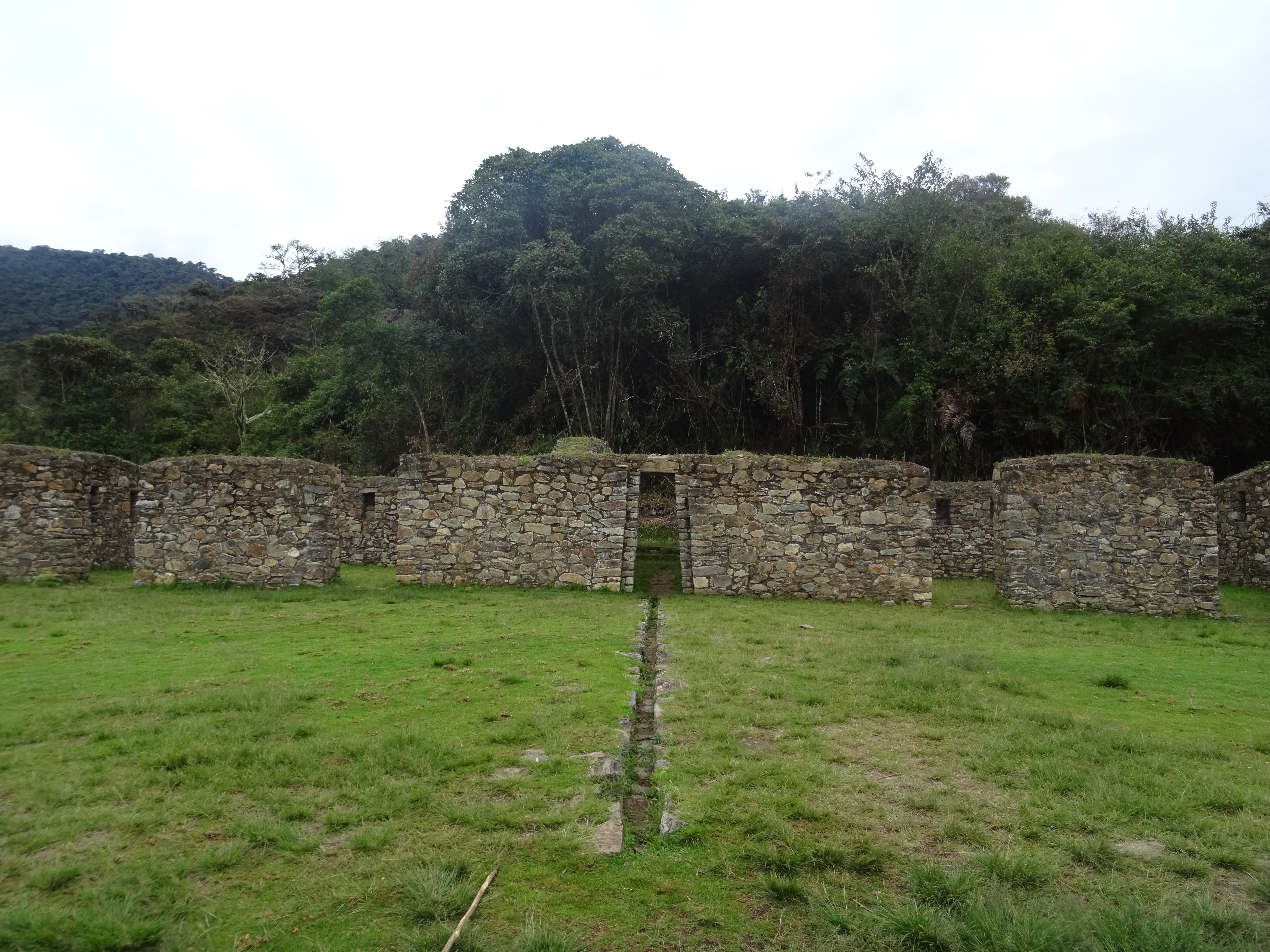
Llaqtapata ruins
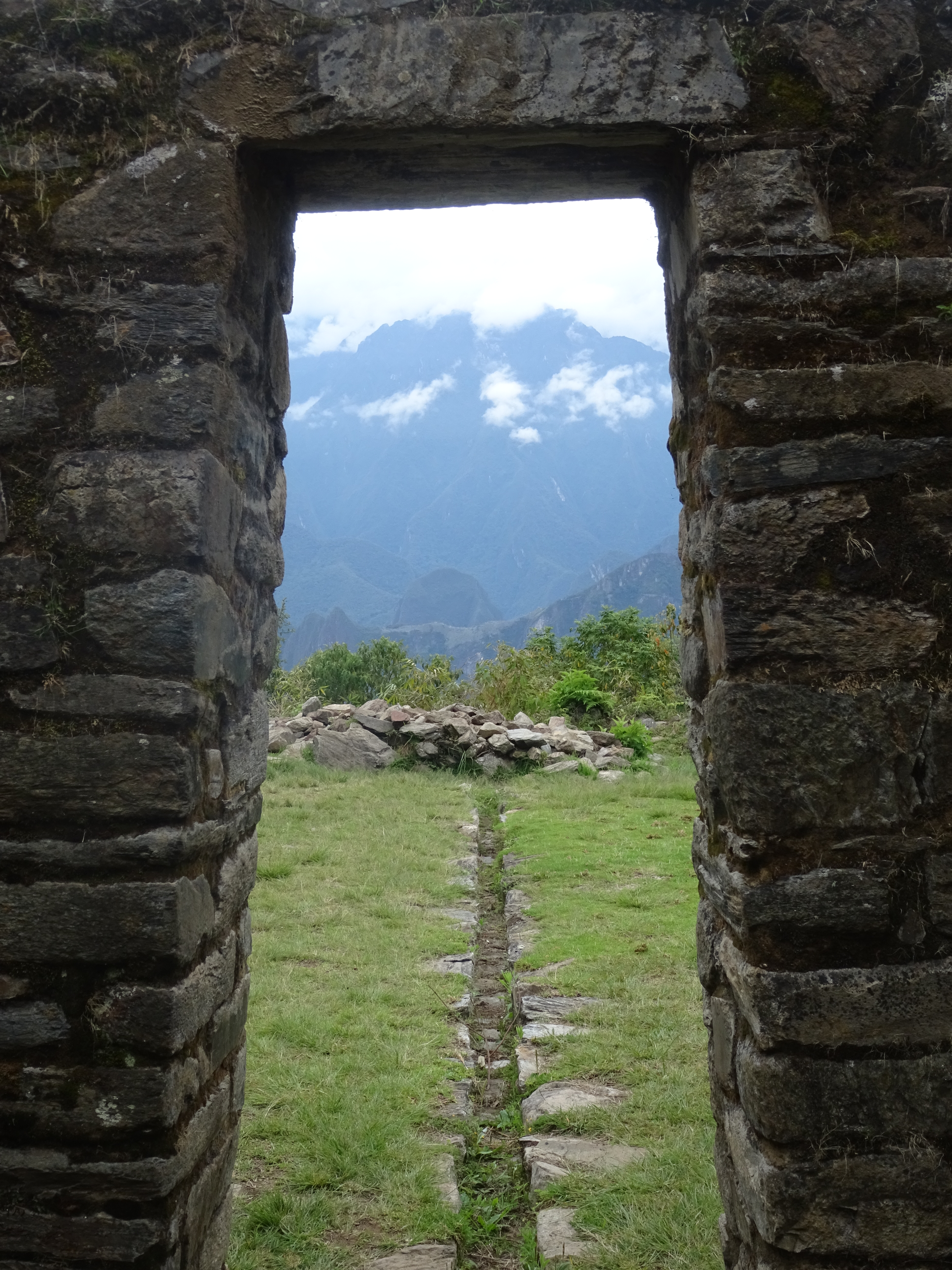
Llaqtapata ruins – Facing the Machu Picchu
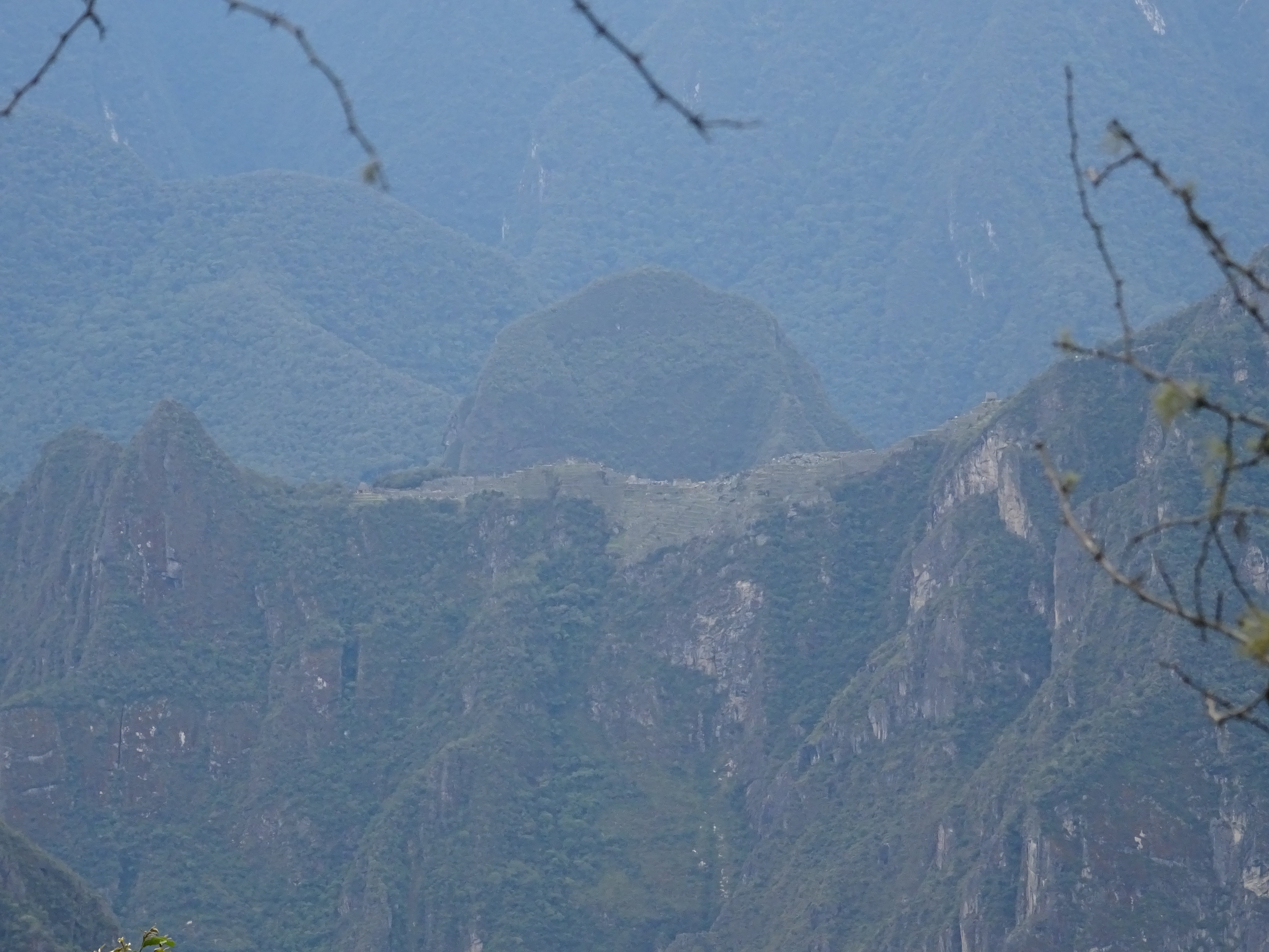
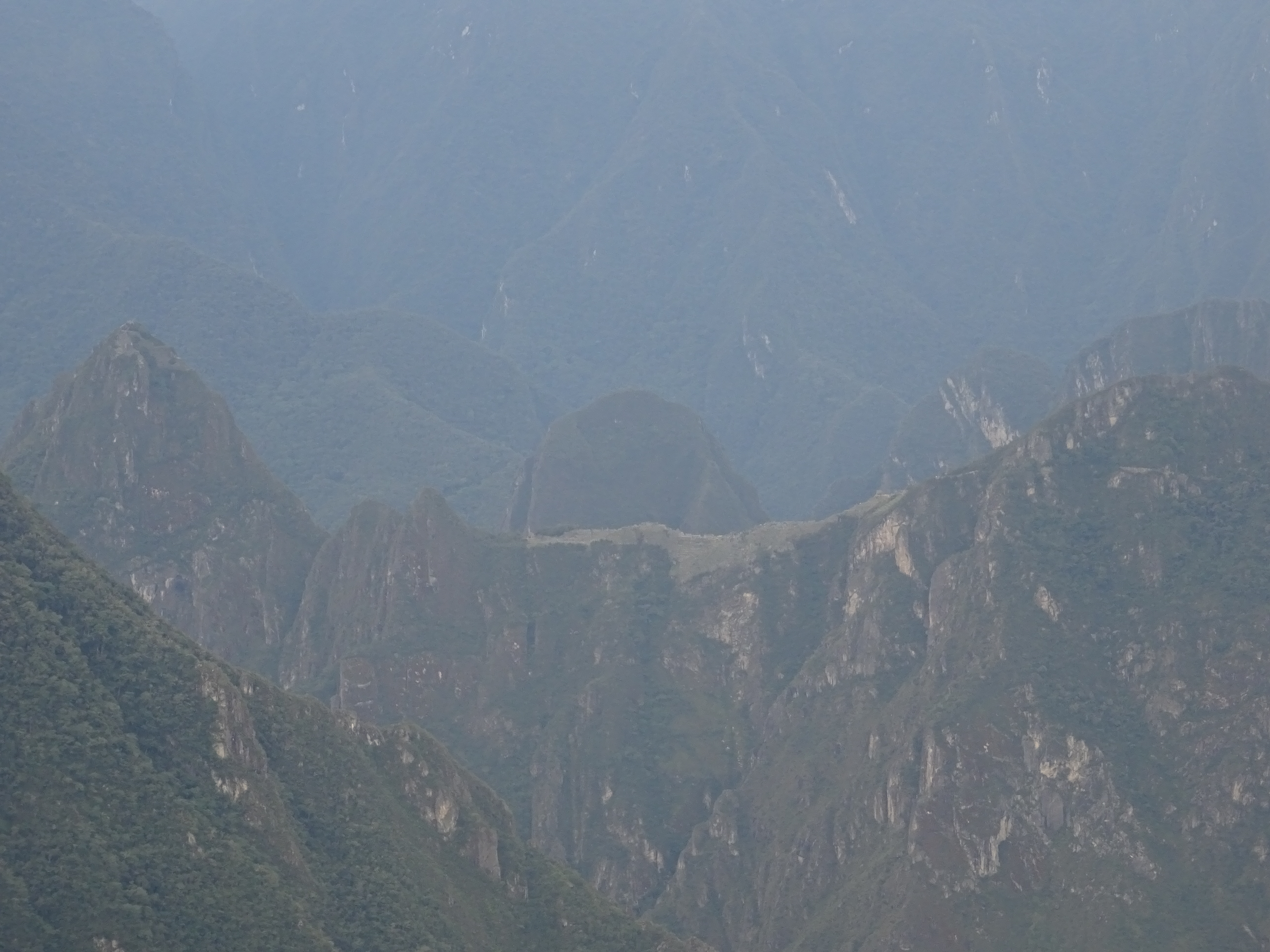
Machu Picchu in the distance
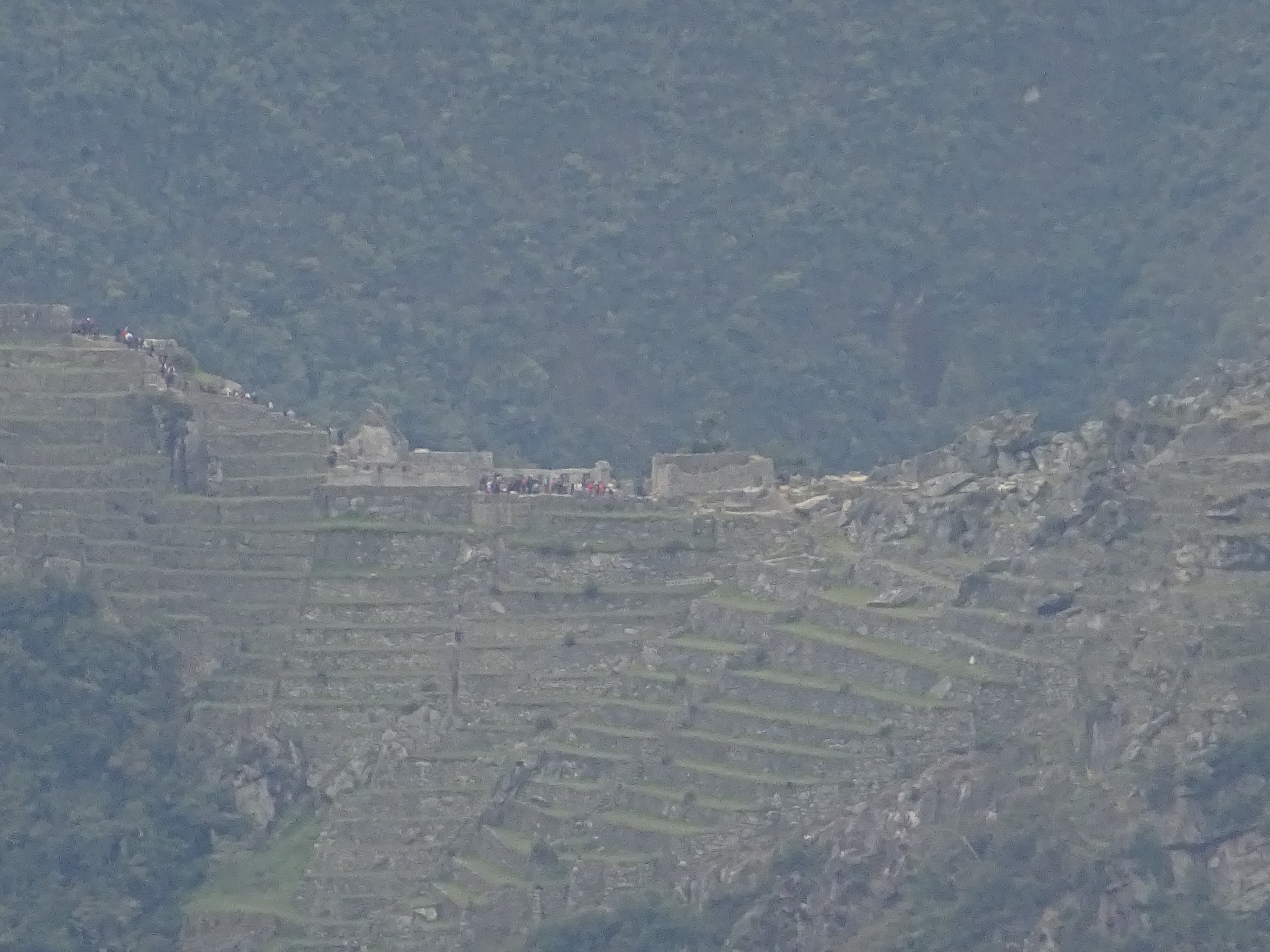
Machu Picchu in the distance – Zooming, I can even see the tourists
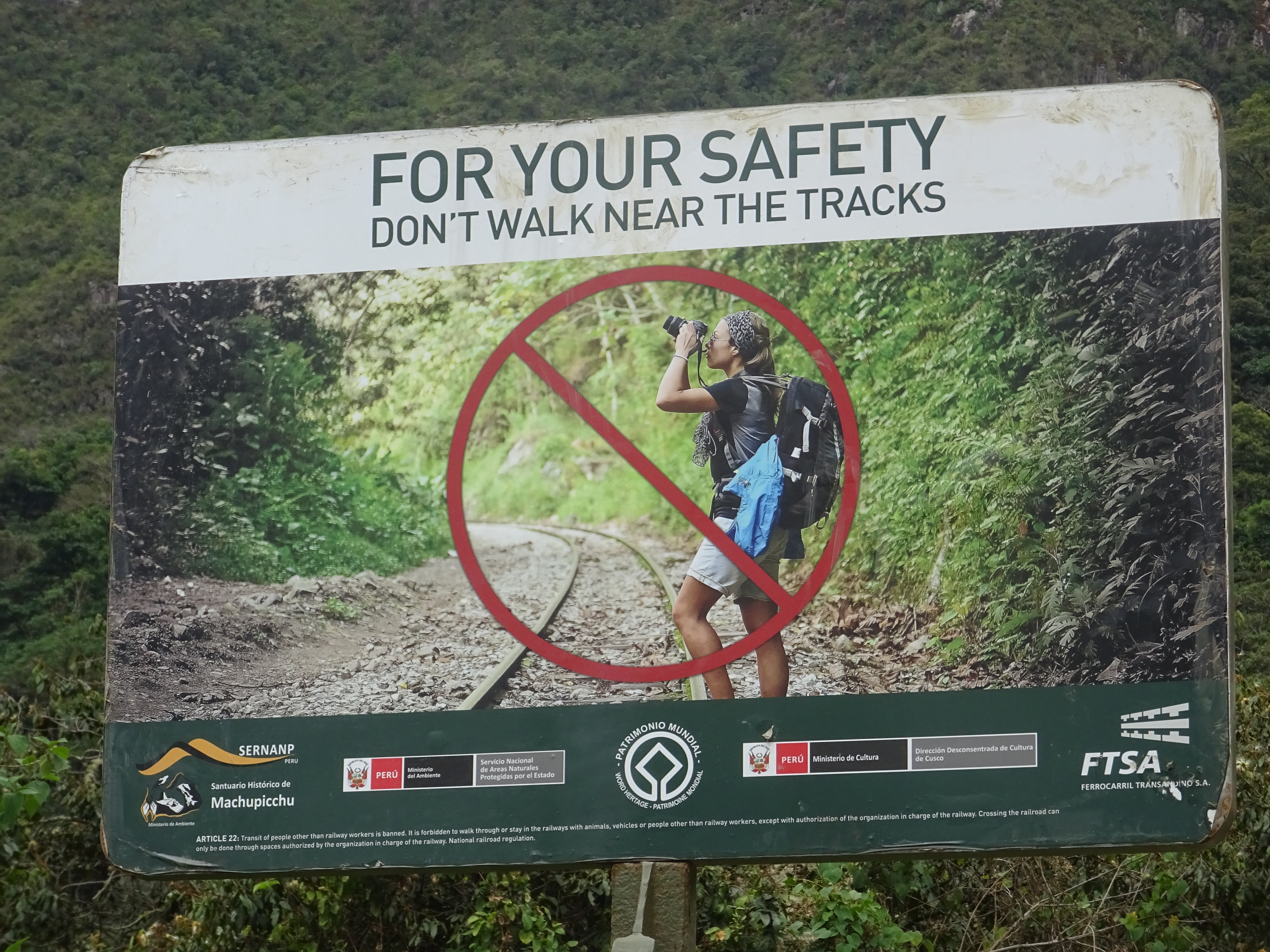
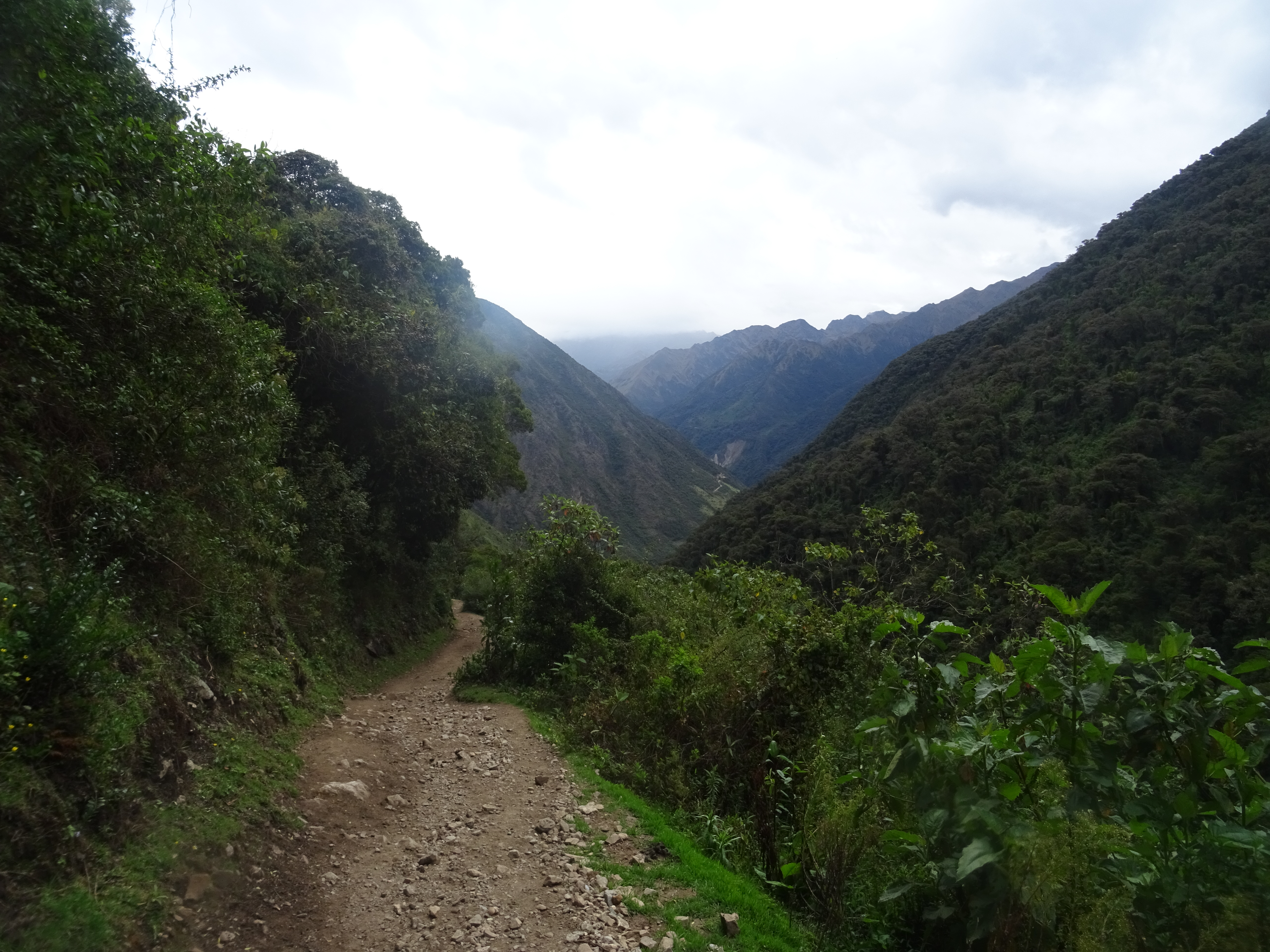
Along the rails
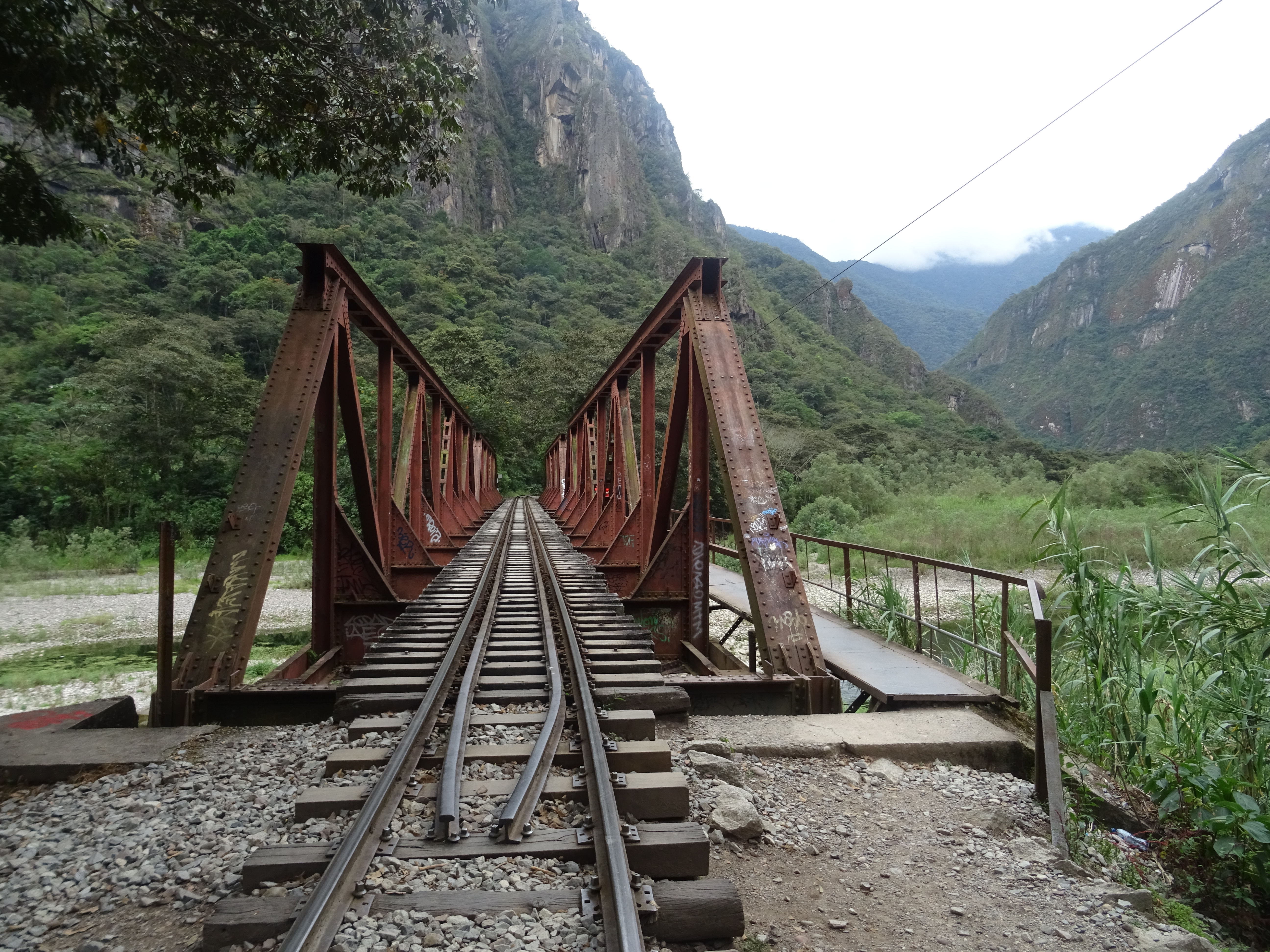
Along the rails
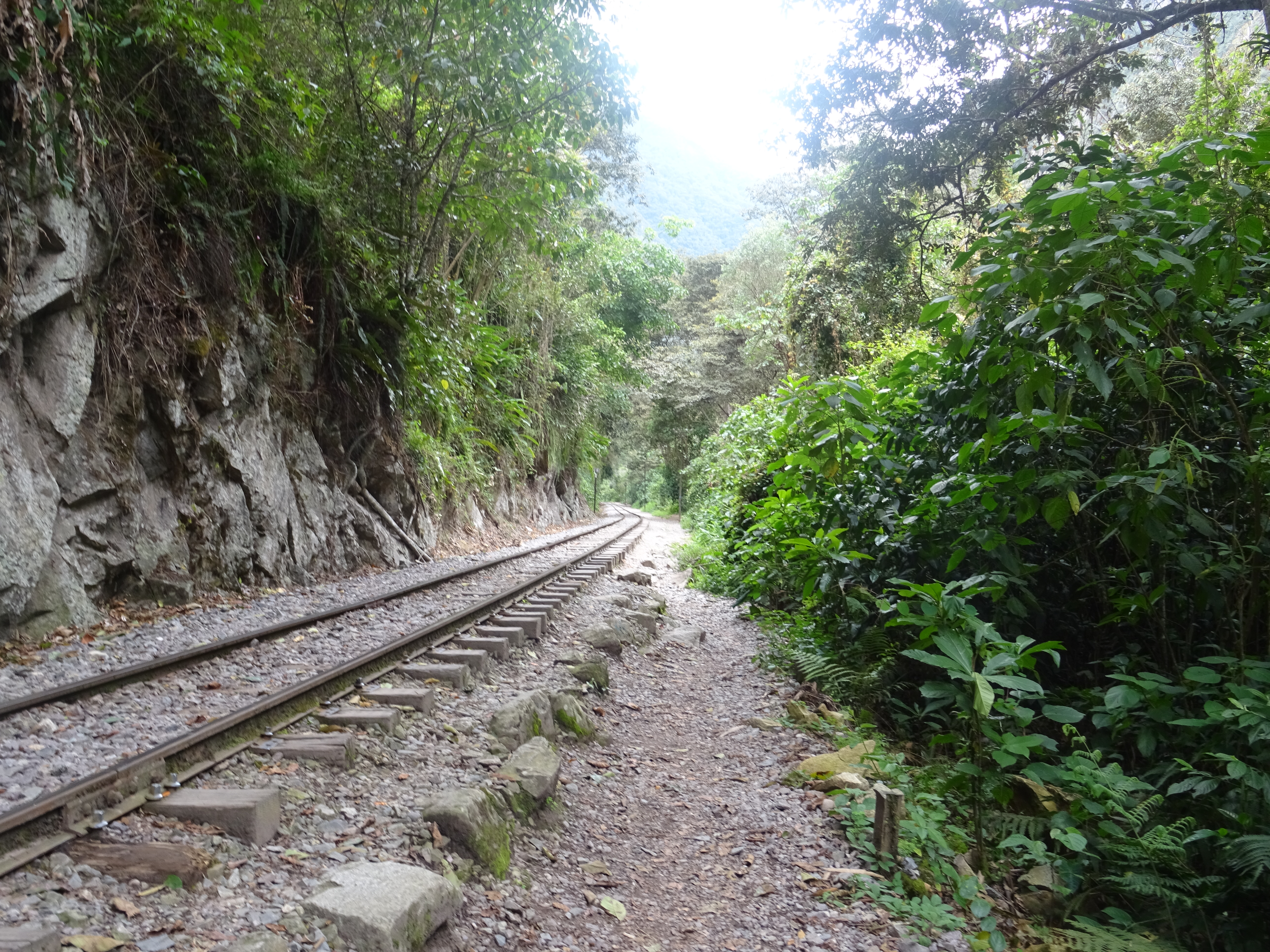
Along the rails
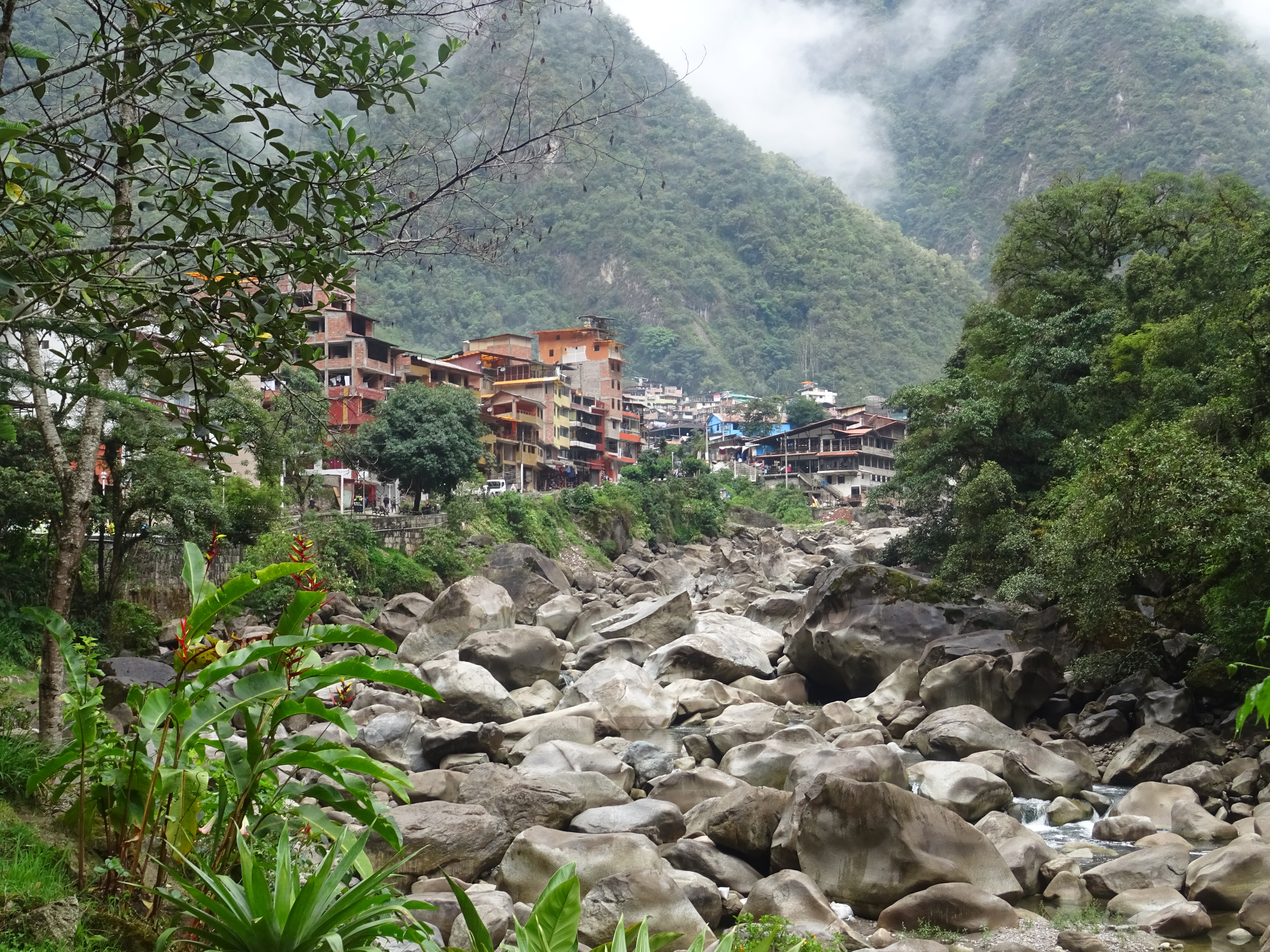
Aguas Calientes
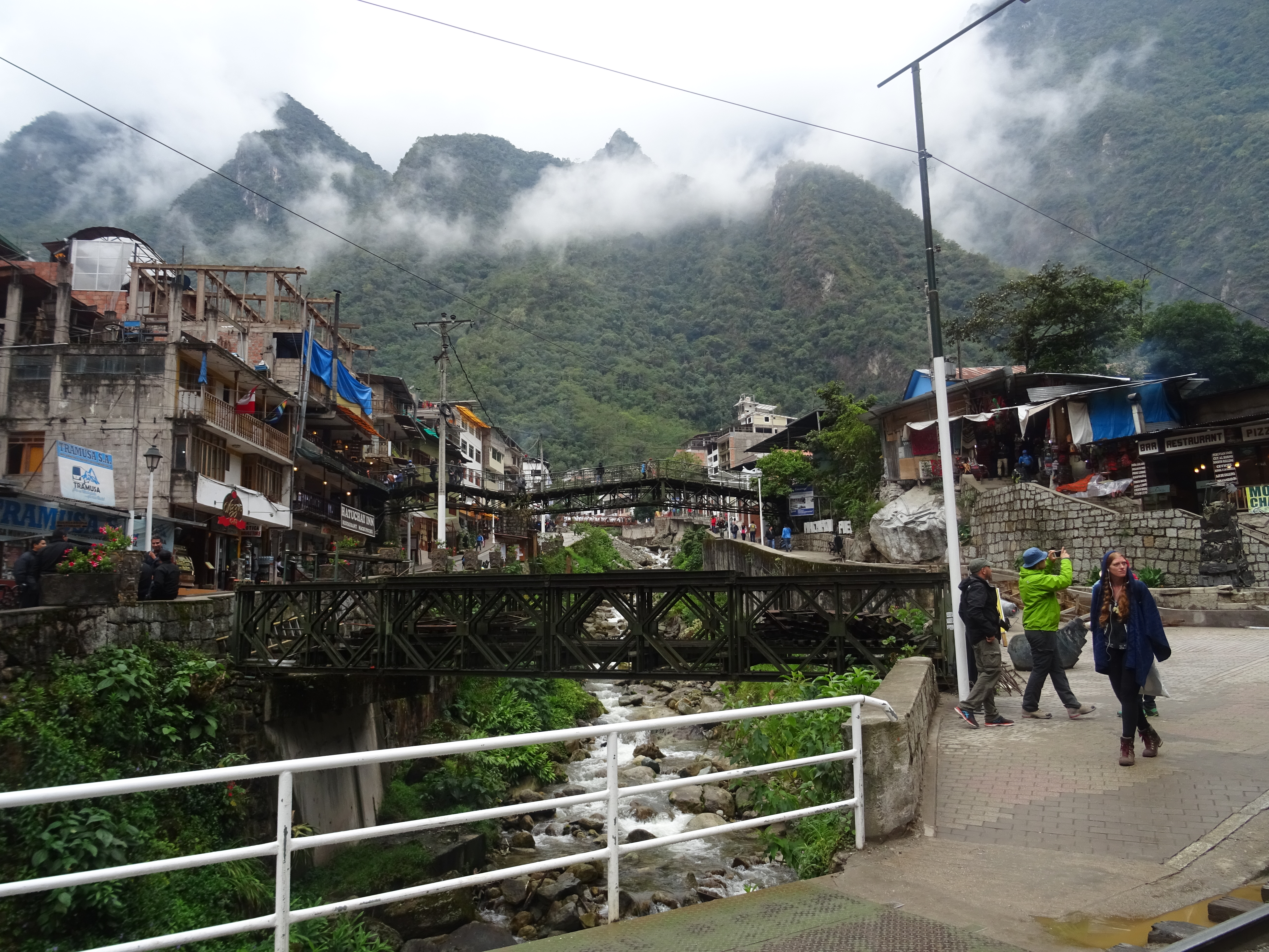
Aguas Calientes
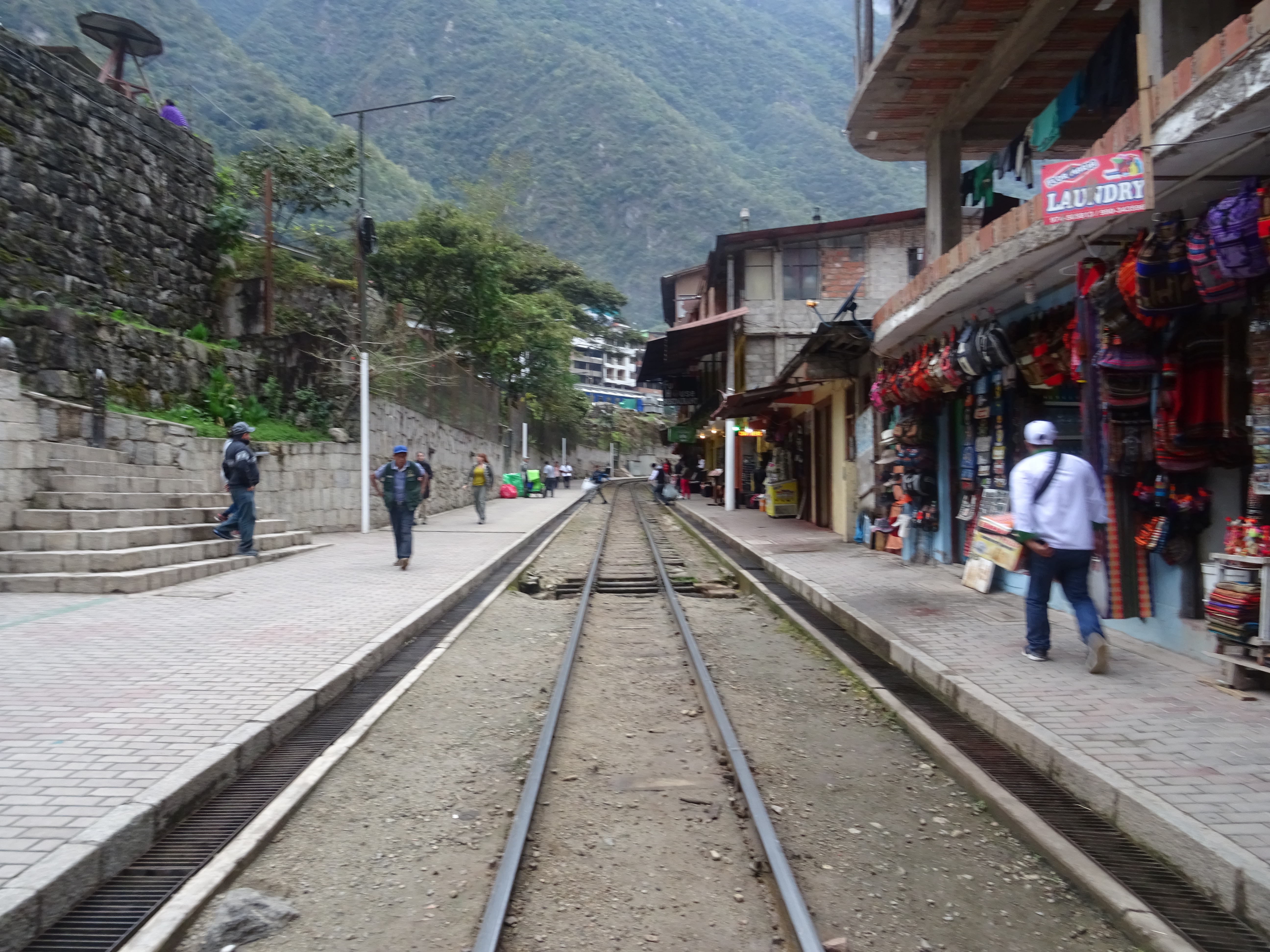
Aguas Calientes
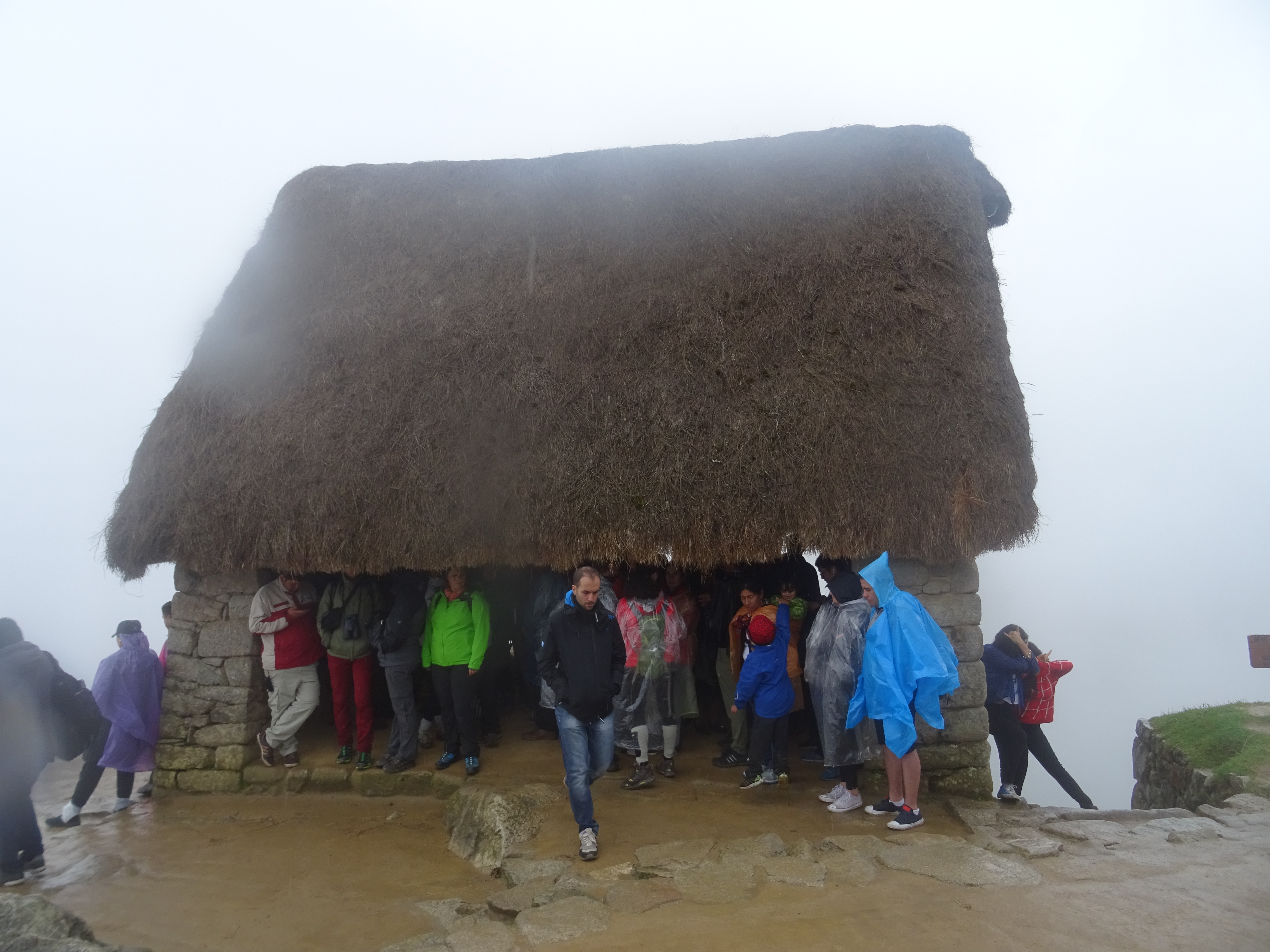
On sunday the 15th, it’s the big day: The Machu Picchu. (Note the 2 ‘c’, so it’s pronounced pik-tshu and not pitshu as most believe). The site opens at 6, and there is some 1600 steps to climb to get there. The bridge to cross before accessing the stairs opens at 5. I wake up at 4, it’s raining. I eat breakfast, during which I see dozens of people passing next to the campsite, on the way to the bridge, with their headlamps. I stress a little bit… I leave the campsite a 5 sharp, and get to the bridge 3 minutes later (advantage of camping, those who slept in hostels in Aguas Calientes had to walk 15min), it’s open, I start walking up the stairs and 3 minutes later I almost have to stop, I am behind a huge lime of tourists going very slow on the stairs. It’s a little narrow but what the hell, I start walking on the side and passing people. I keep going at a good pace, passing dozens of people. Finally, I get to the top at 5:35, I’m the 3rd one to get there. I think I passed around 150 people. 30 minutes of walking up stairs at a good pace, I am a little out of breath, but nothing compared to the people I passed, some of them really seemed to be dying… I guess trekking with 15kg on my back, at 3,000 to 4,000m high, was good training. 30minutes up with no bag, at only 2,000m high, is not very difficult now.
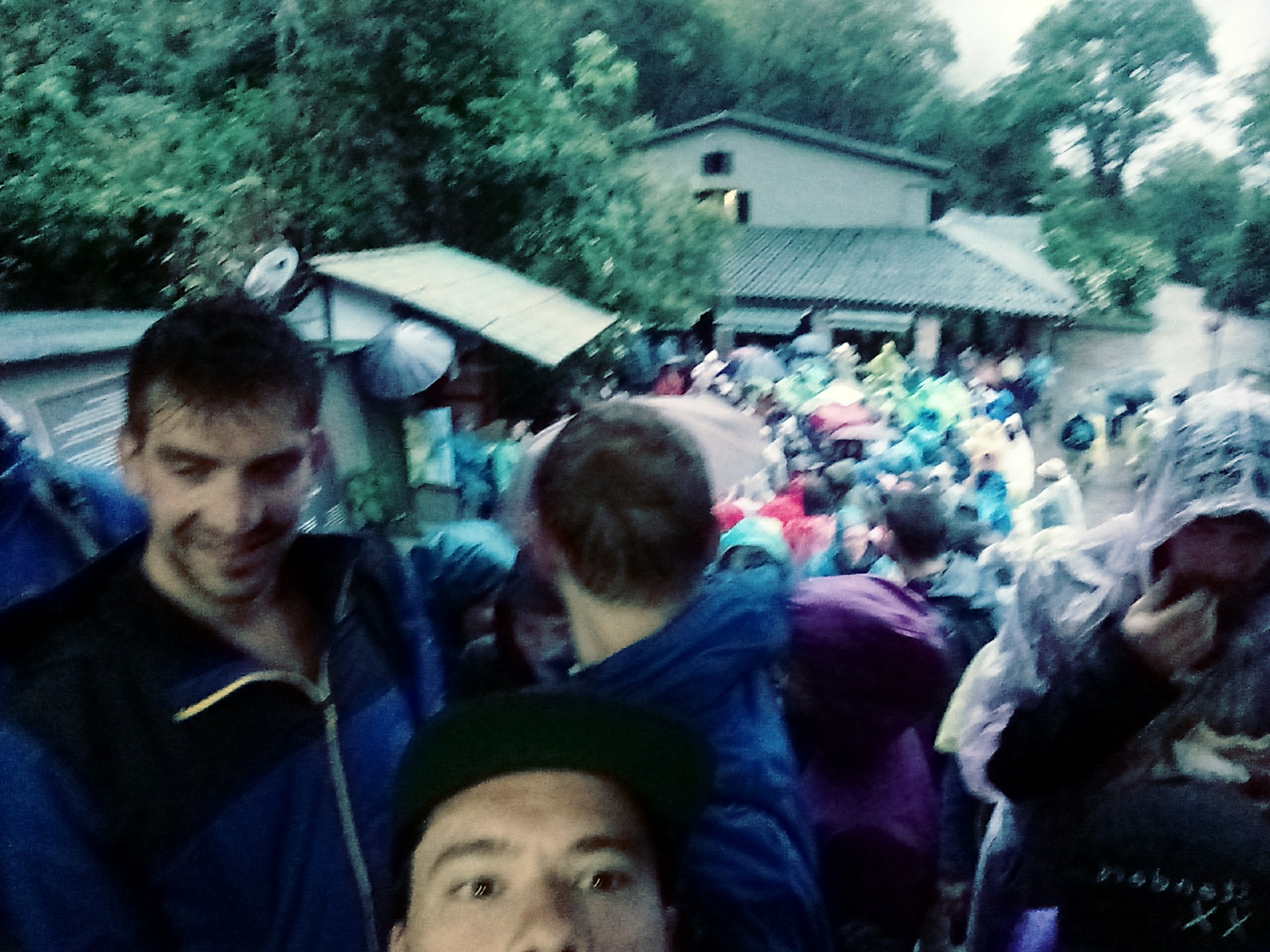
People waiting for the gate to open
I wait for the site to open, still under the rain. I’m soaking wet. At 6am, we are probably 400 people in front of the gate. Once in, I run to get a photo with no tourists, but with not a lot of hope considering the weather. Indeed:
The first view
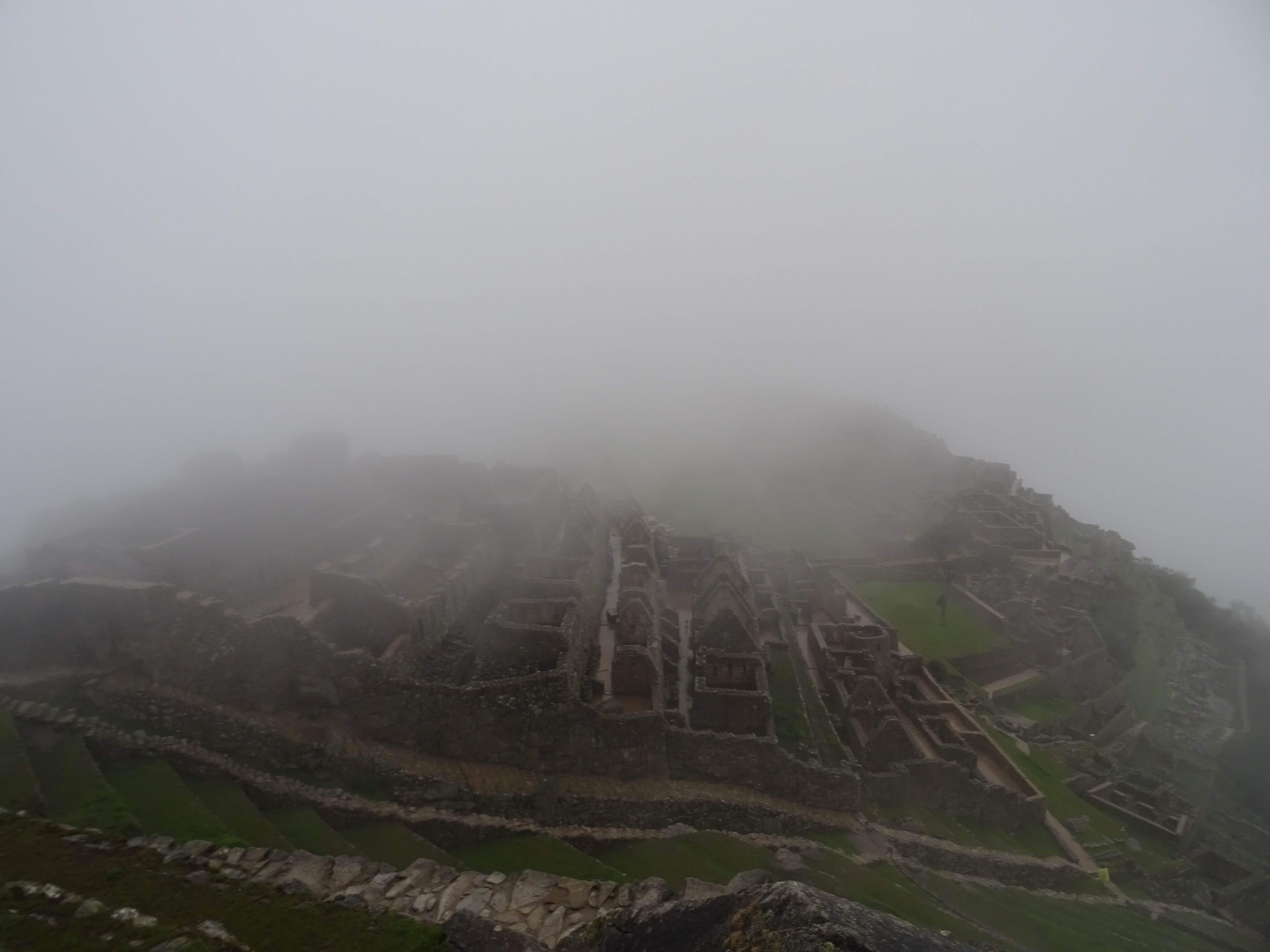
It cleared a bit…
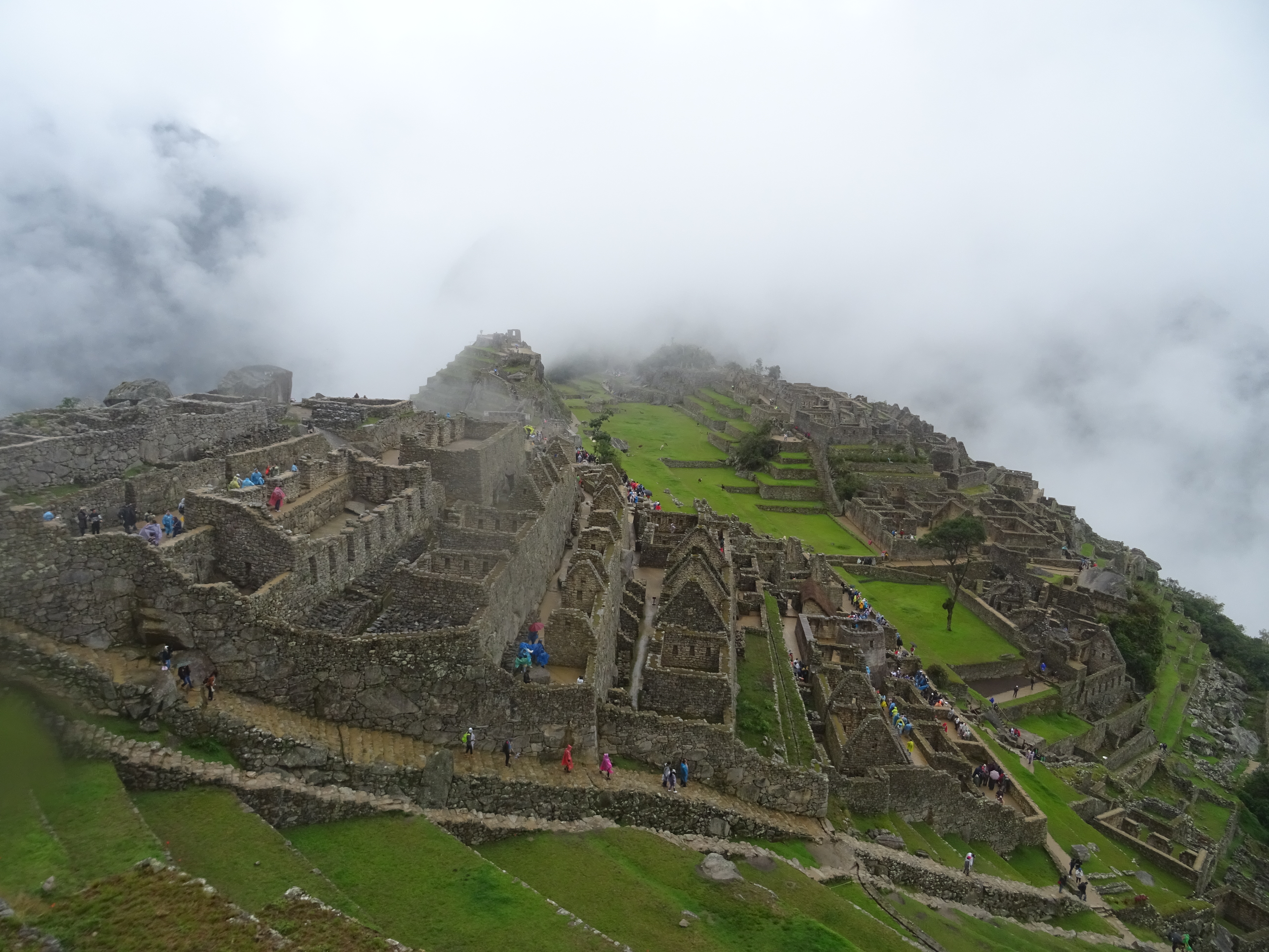
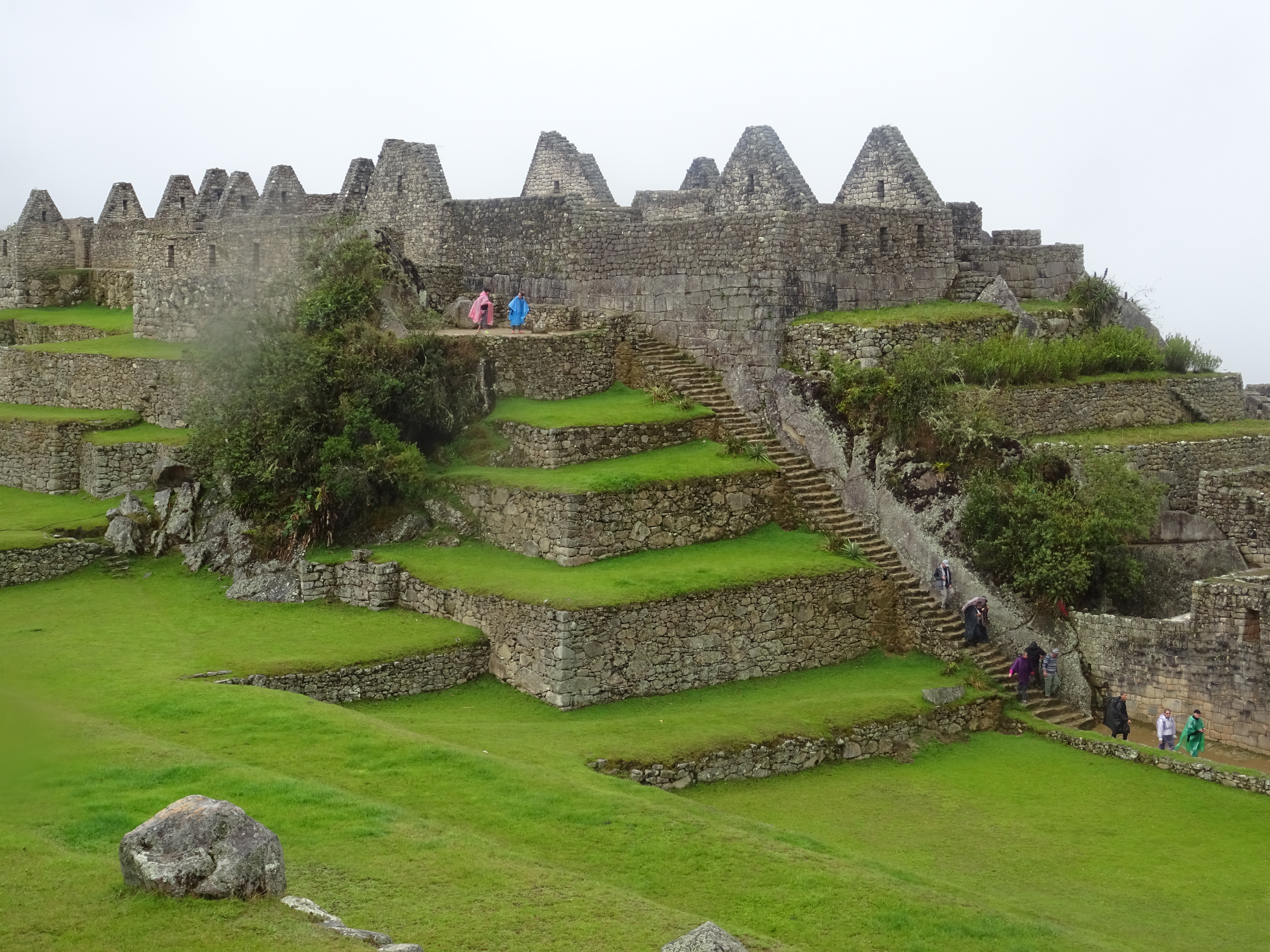
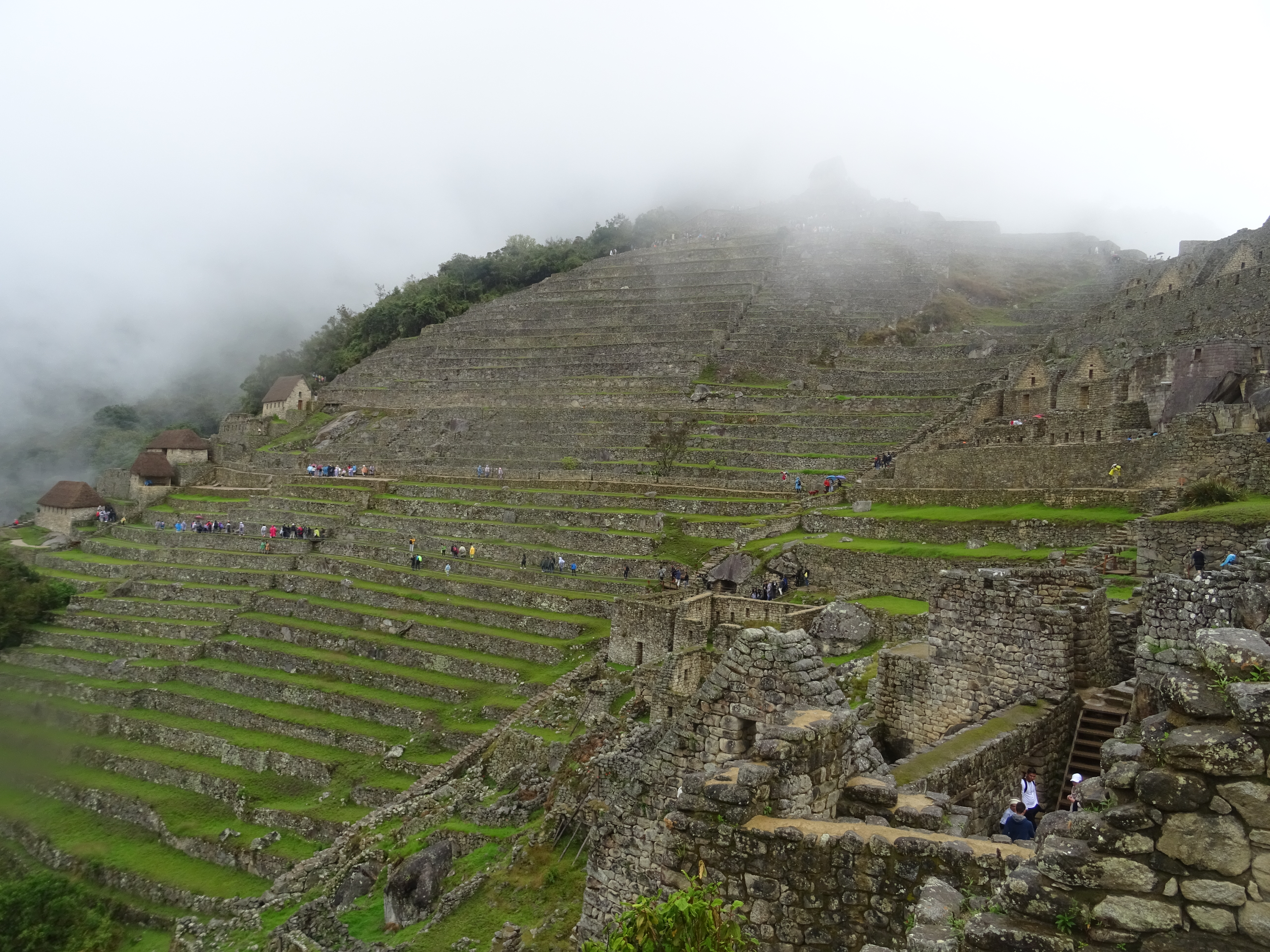
I heard and read several people on the Machu Picchu saying: “The first impression of the site is impacting” Well, I did not have this chance. I still walk around the site, the ruins are impressive, the Incas were great builders and their way to imbricate the cut stones is unique.
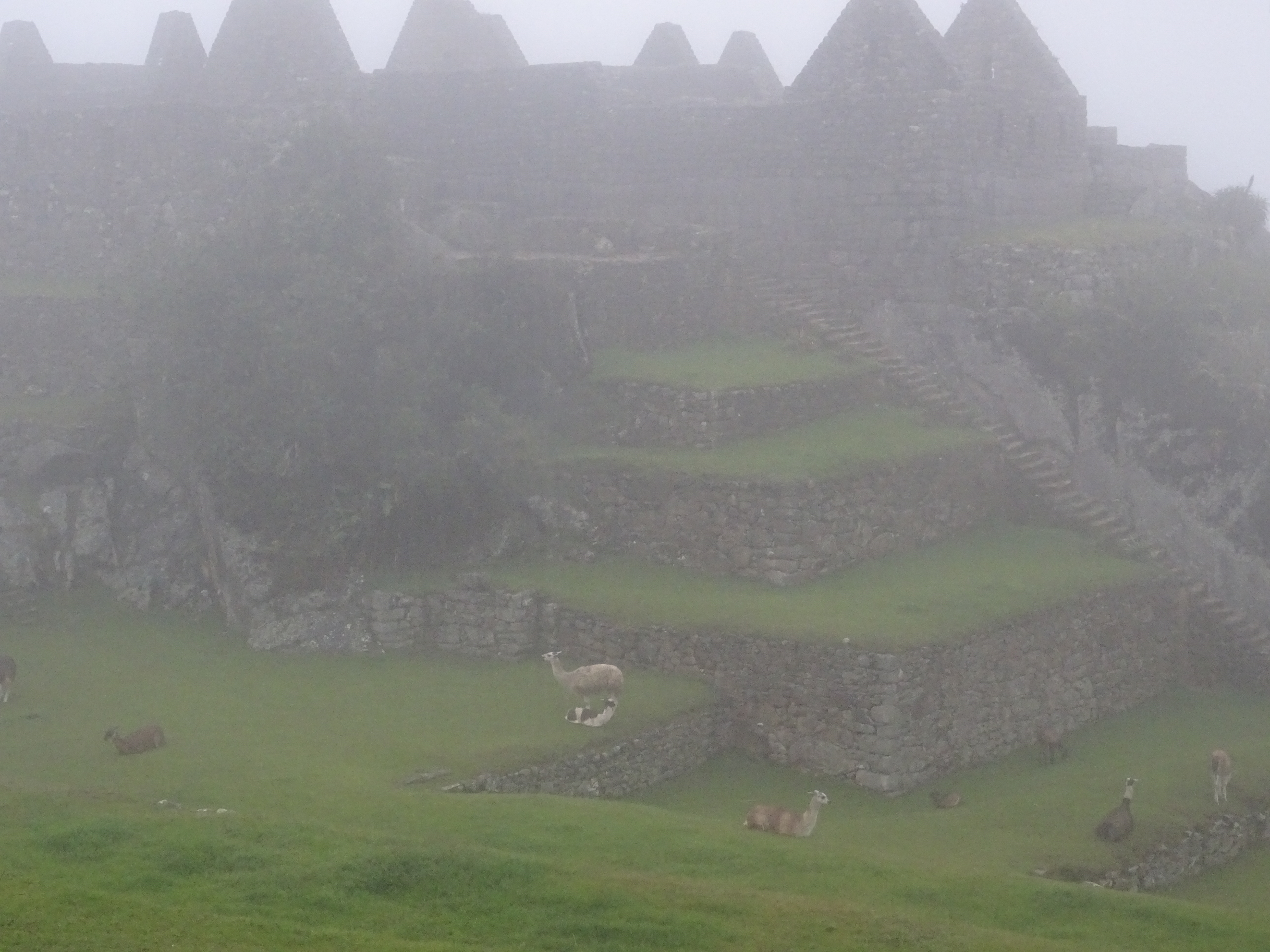
Machu Picchu
Machu Picchu
Machu Picchu
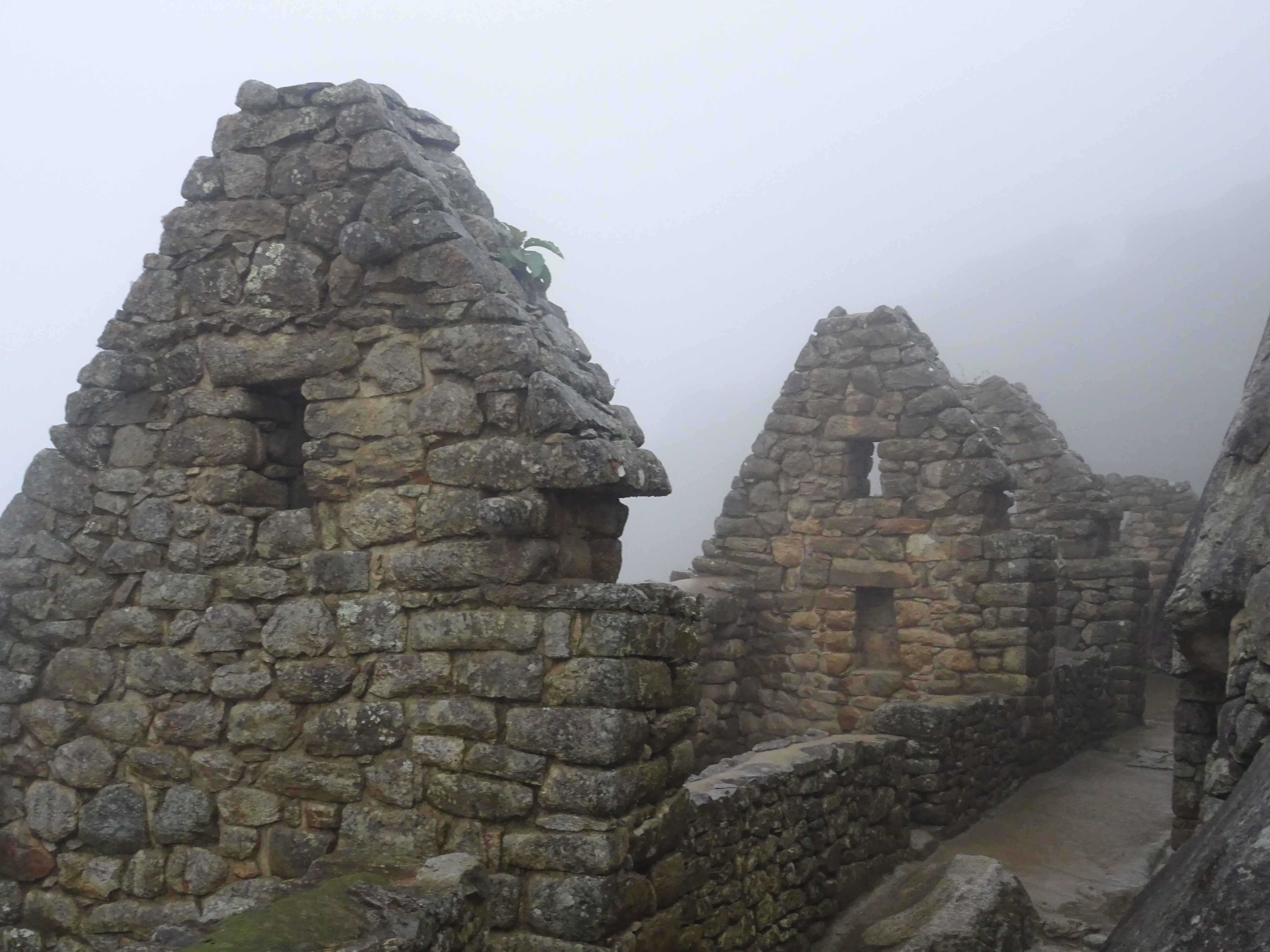
Machu Picchu
With my ticket, I booked the “Montaña Machu Picchu”, a mountain above the site. I have to get to the entrance between 7 and 8. I go there, 700 more meters up, in 40 minutes… But on the top, no view either. Only clouds. I still stay an hour, in case it clears out, chatting with 4 other people that came up. But nothing.
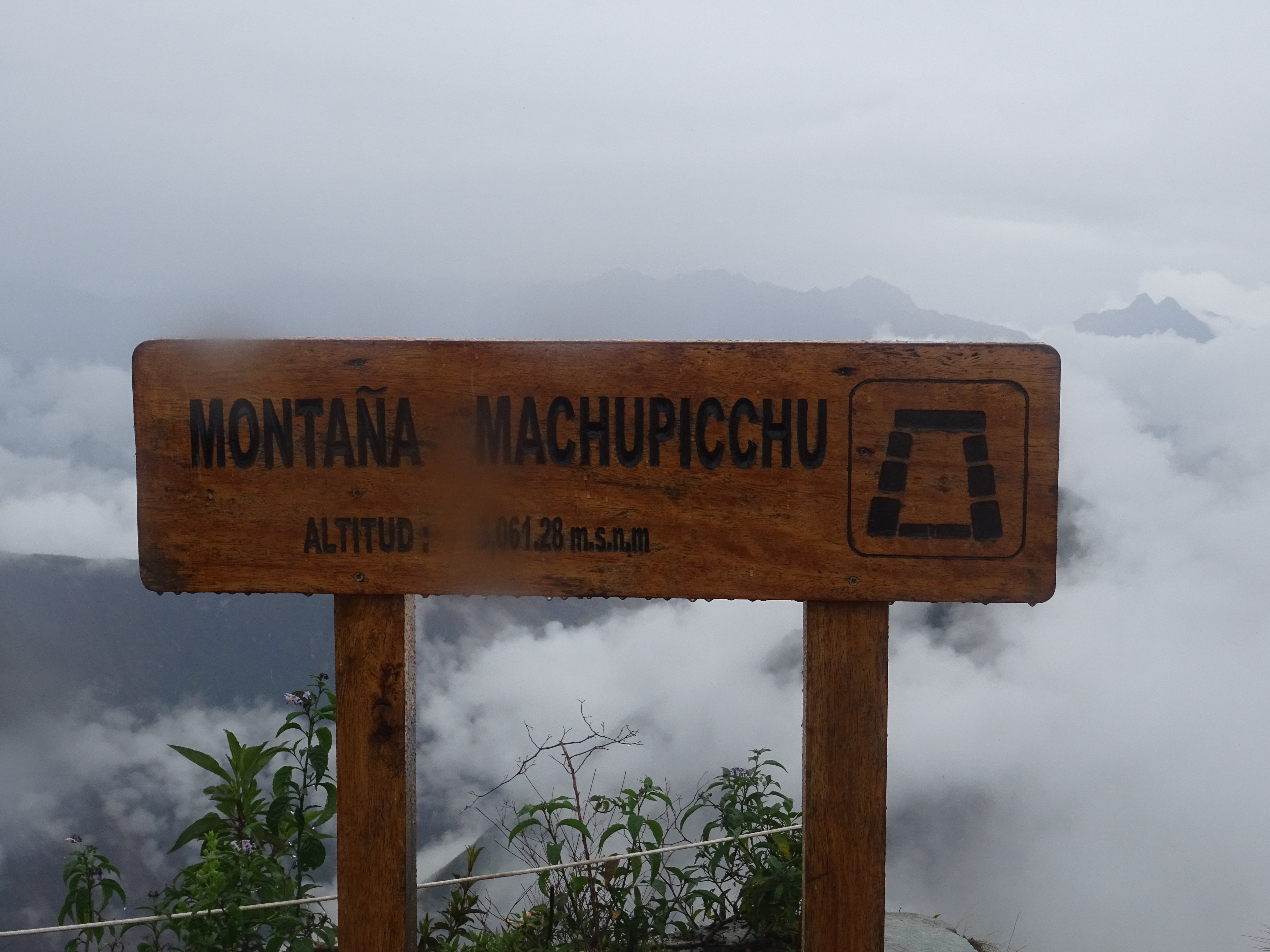
Montaña Machu Picchu
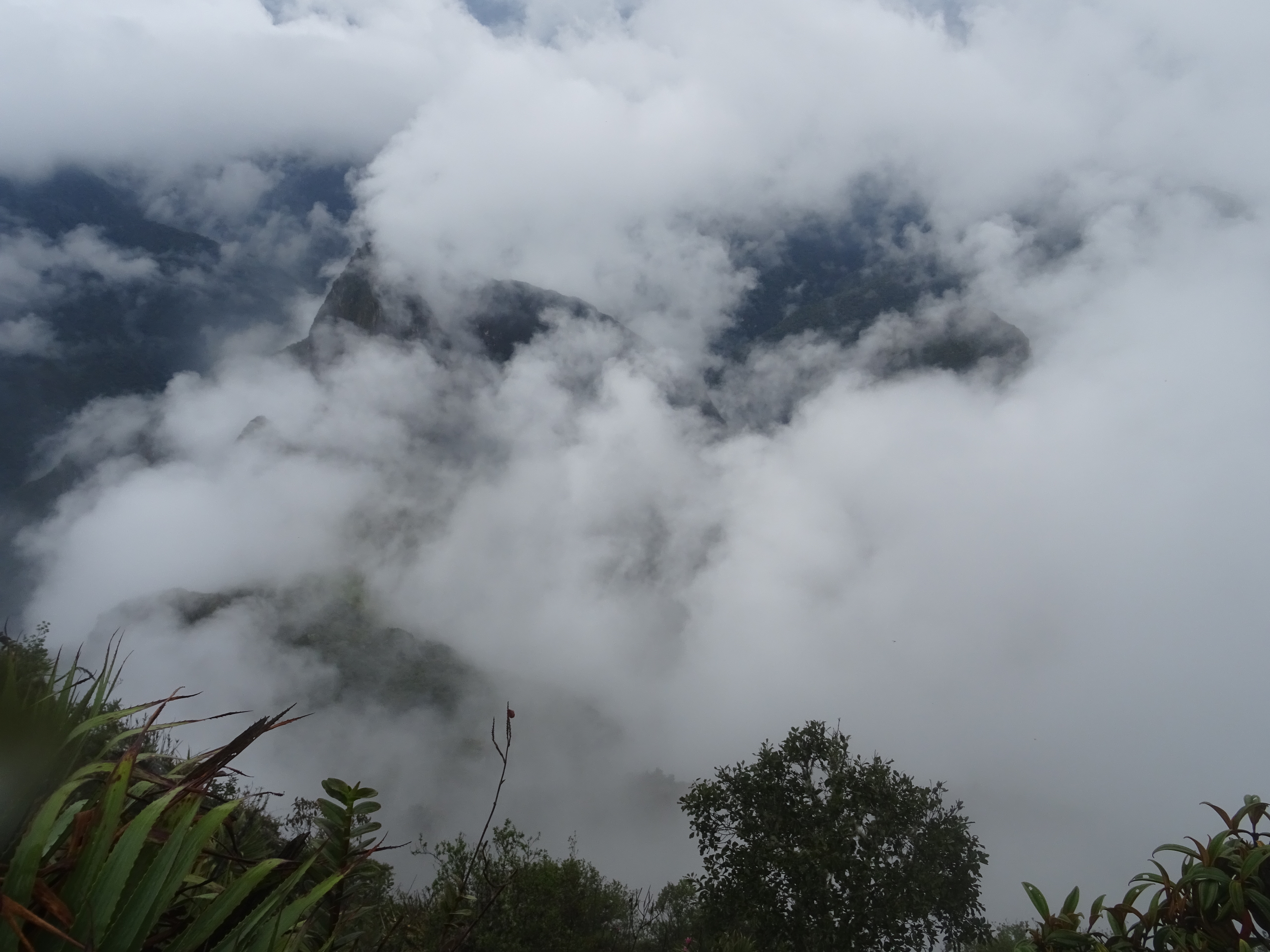
Montaña Machu Picchu
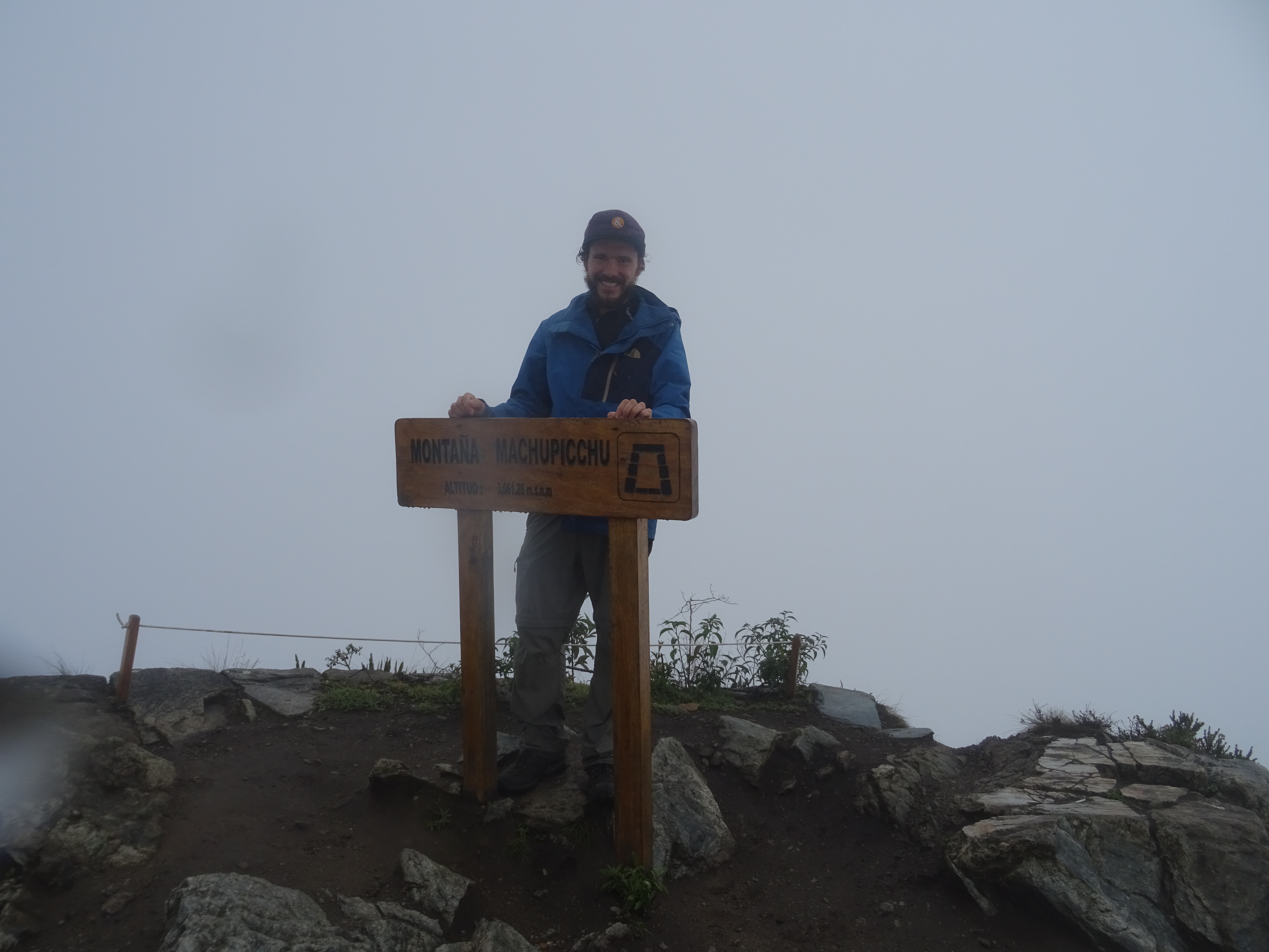
Montaña Machu Picchu
After going down the mountain, I go to see the Inca bridge, on the side of a cliff, quite impressive. Then I go around the site again, the views are a bit better, although far from ideal.
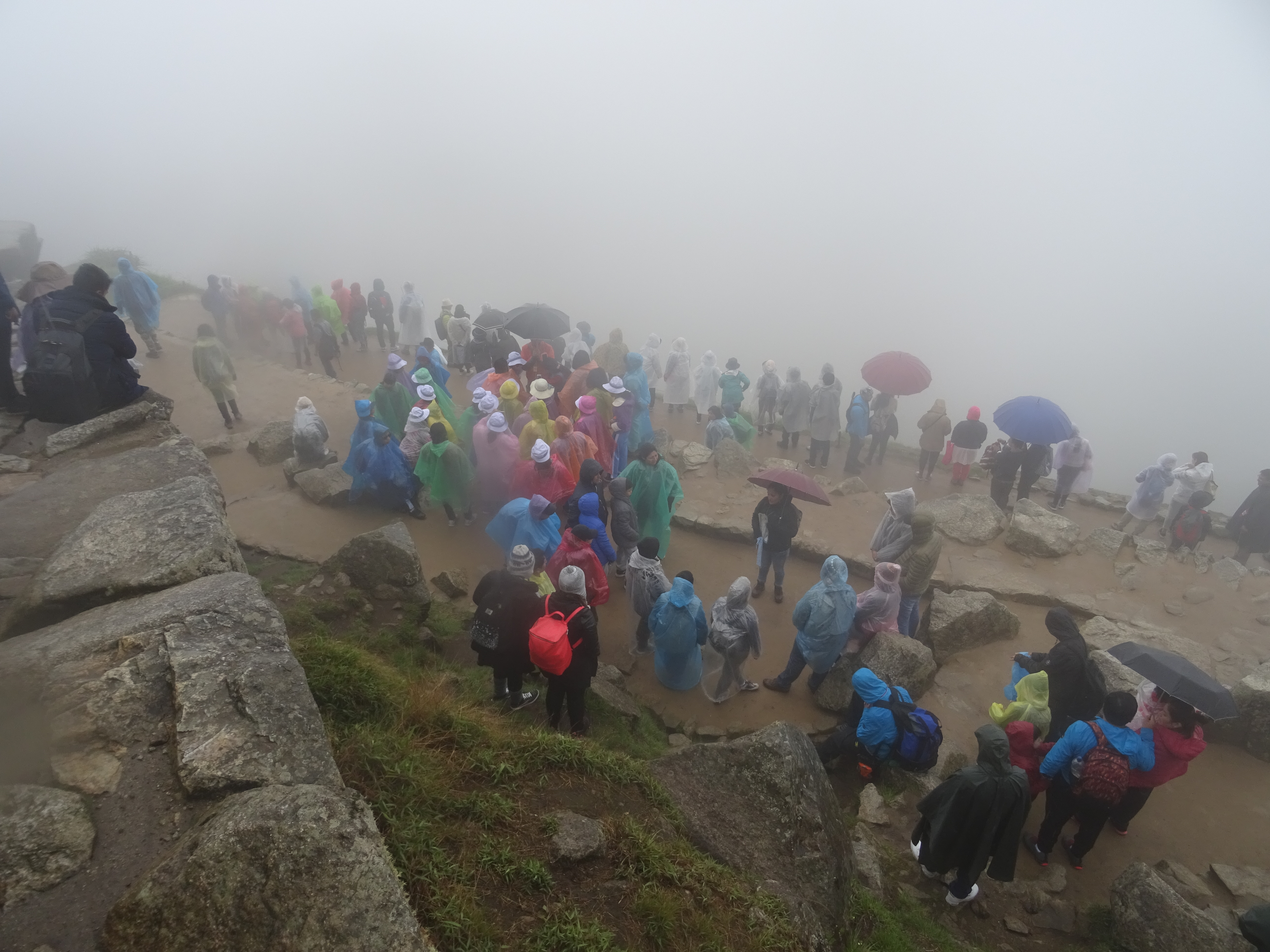
Machu Picchu – tourists under the rain
Machu Picchu – tourists under the rain
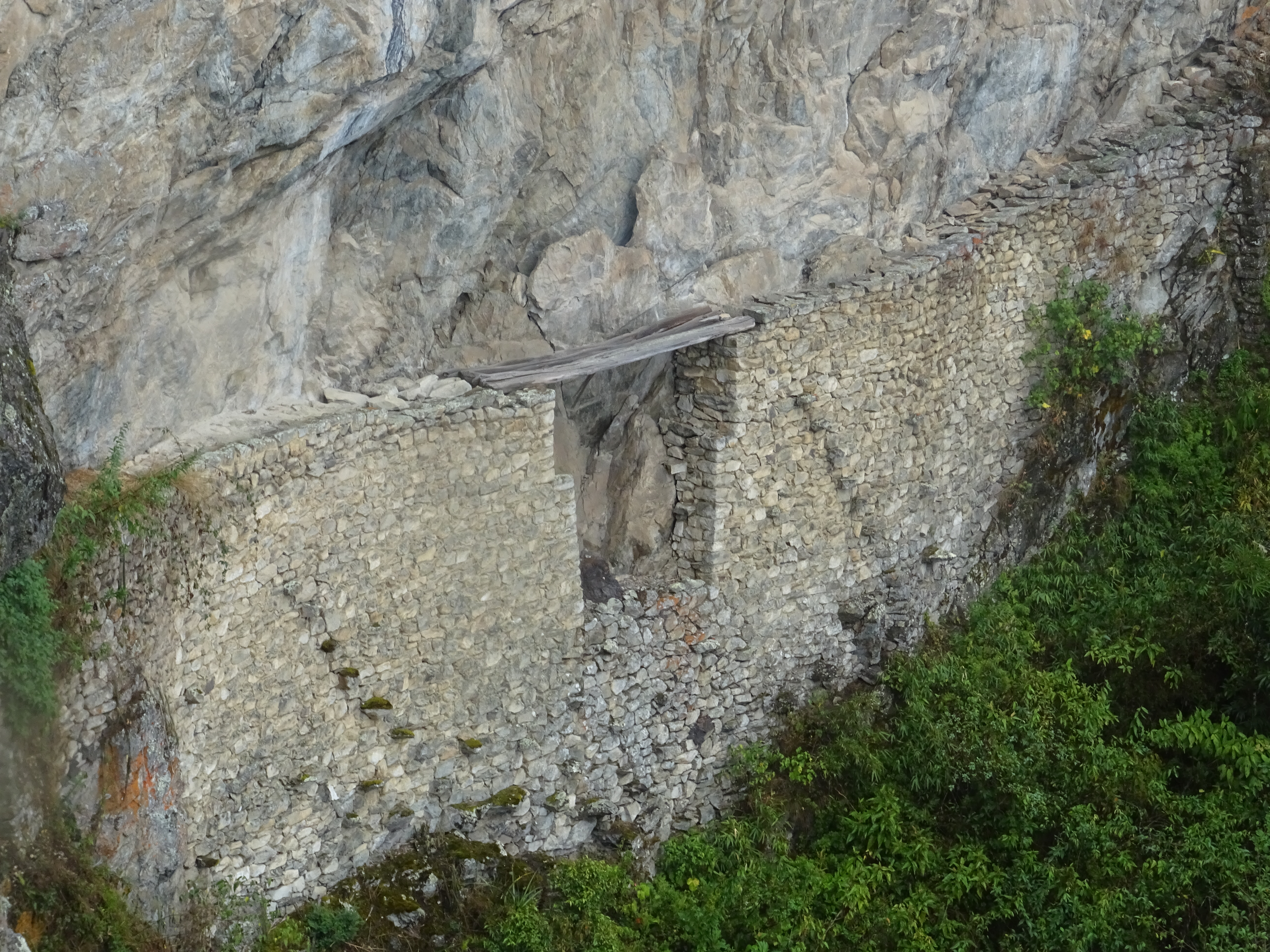
Machu Picchu – Puente Inca
Machu Picchu – A little less cloudy
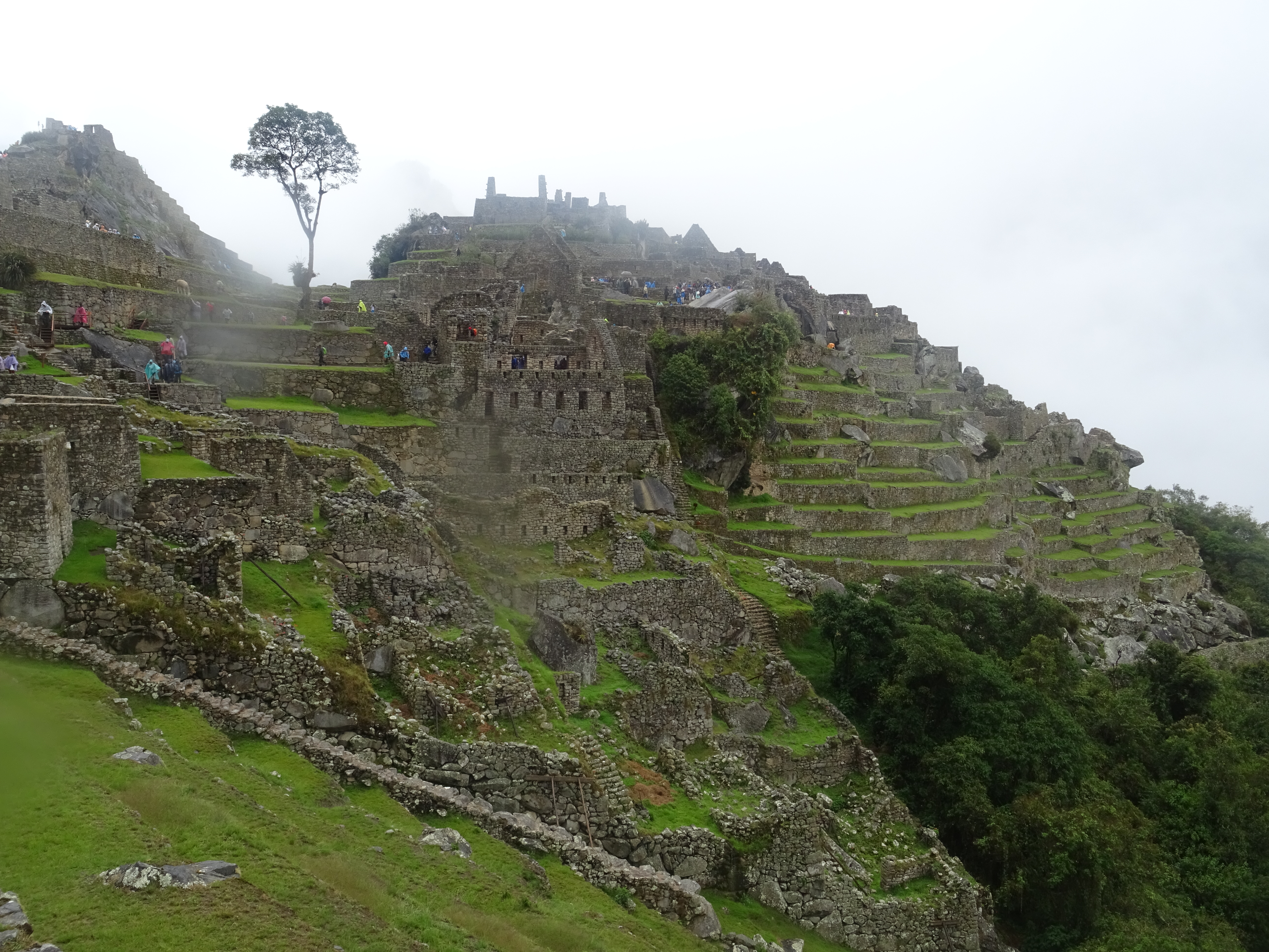
Machu Picchu – A little less cloudy
I leave the site, and in front of it I see guides offering their services. I think to myself that it can be interesting, and if I stay 2 more hours maybe the clouds will go… I join a group of colombians to share the guide fee.
Machu Picchu
Machu Picchu
The guide is indeed interesting even though everything he tells us is pure speculation, since no writing was found, the history of the site is unknown, as well as its use.
Finally, I leave at 1:30 (after a little more than 7 hours on the site), with a -amertume- feeling.
Getting to the camping, it’s 2:30 and it’s a little late to go back to Cusco: I have to go back to the hydroelectric station, 2 hours away (and I already walked a bit) before a 6 hour bus.
Before that, I have to eat something (I haven’t eaten since 5am) and to fold my tent. I decide to stay the night here. I spent the afternoon in Aguas Calientes, and did the journey to Cusco on monday morning.
In the end, I am not keeping a good memory of the Machu Picchu, because of the weather of course, but also for several reasons: it’ s the most visited site in South America, 1 million viditors per year and the ticket costs US $50. Despite that:
- There is no bathroom inside the site, you have to go out and pay, to a private company outside the site.
- The road from Aguas Calientes to the site (which passes along the camping) is not paved.
- To get to the site, those who don’t wantt to walk have to take a bus, but one comoany has a monopoly and charges 40 soles one way (USD 12) for a 30 minutes ride, 3 times more expensive than anywhere else in the country.
- To go to Aguas Calientes, the only other option than a 6 hours bus ride + 2 hours walking is a $120 train ride. Again a monopoly.
The difficulty to access the site and the management of the site, compared to the gigantic income, feels shameful. I imagine that those who see the site with good weather say “the beauty and greatness of the site balances the rest” but I haven’t had this chance.
On monday the 16th, I took a bus from Cusco to Juliaca and then a to Putina… But this is another story, I’ll tell you next time!